Bore feature in SAR winds over Lake Michigan
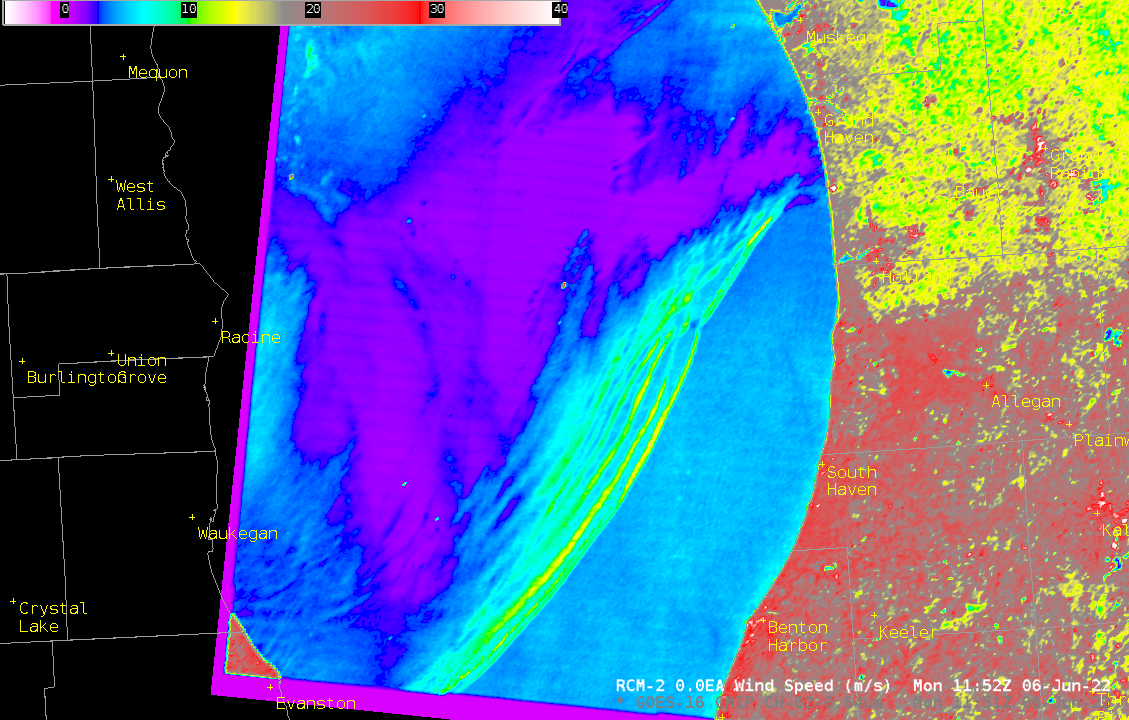
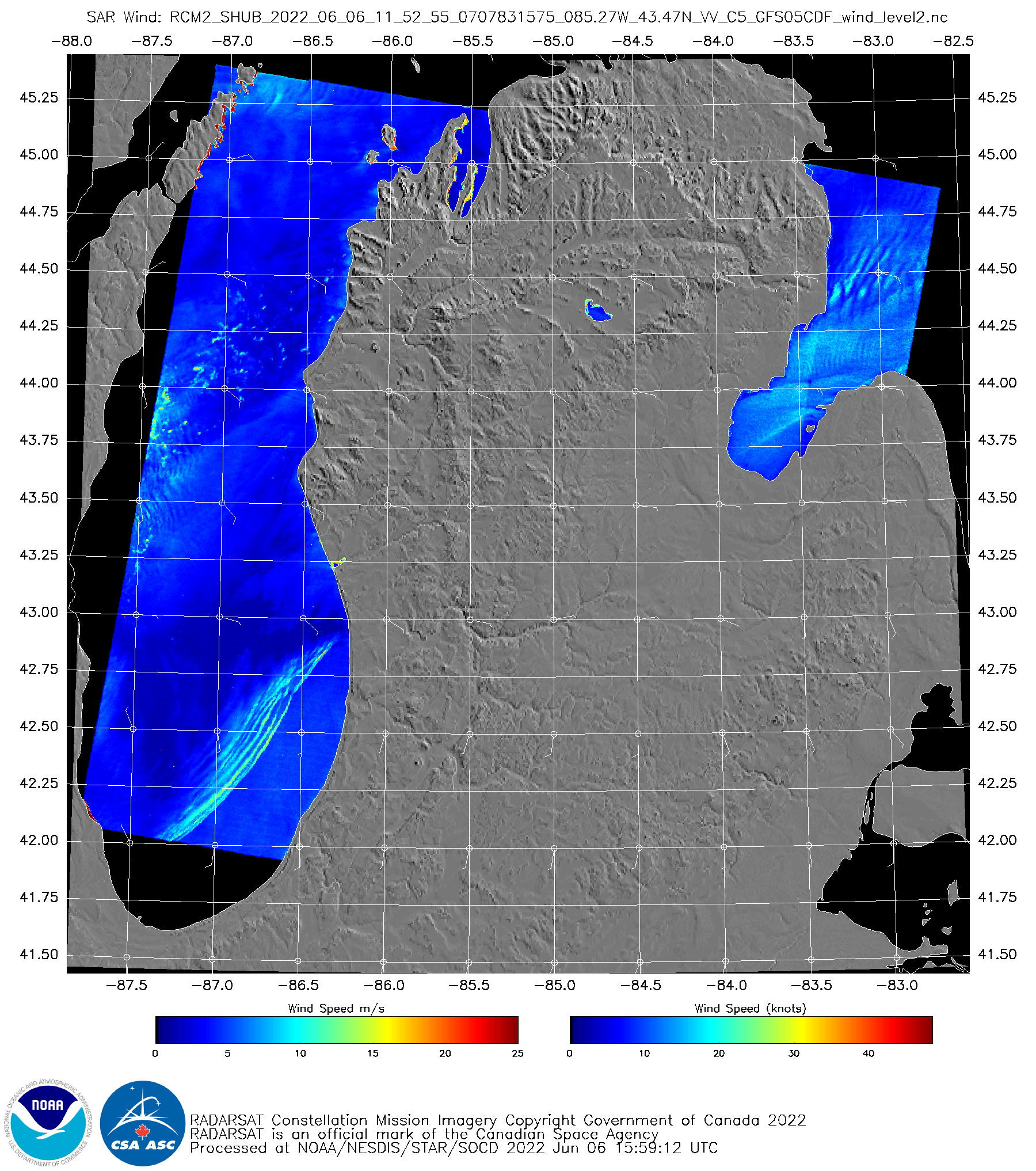
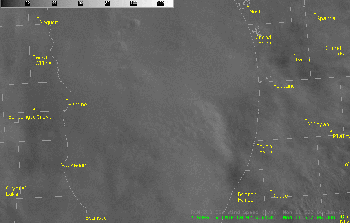
Color-enhanced wind speeds observed from Synthetic Aperture Radar (SAR) data on the second RADARSAT Constellation Mission satellite (RCM-2), shown above in AWIPS (Click here for a similar image online at this website) show parallel lines of enhanced wind speeds, a wind structure suggestive of a bore (click here for many previous blog posts on this phenomena), over southern Lake Michigan. Peak wind values (in yellow over the water) are near 14 m/s, with minima in between the lines showing winds around 5-6 m/s. (Note that SAR wind information over land is invalid). When this kind of event happens under mostly clear skies, parallel lines of clouds (that are perpendicular to the observed wind) develop. In this case, widespread clouds prevented satellite detection of cloud bands. The toggles below show Visible (Band 2, 0.64 µm) and Infrared (Band 13, 10.3 µm) at the time of the SAR observations.
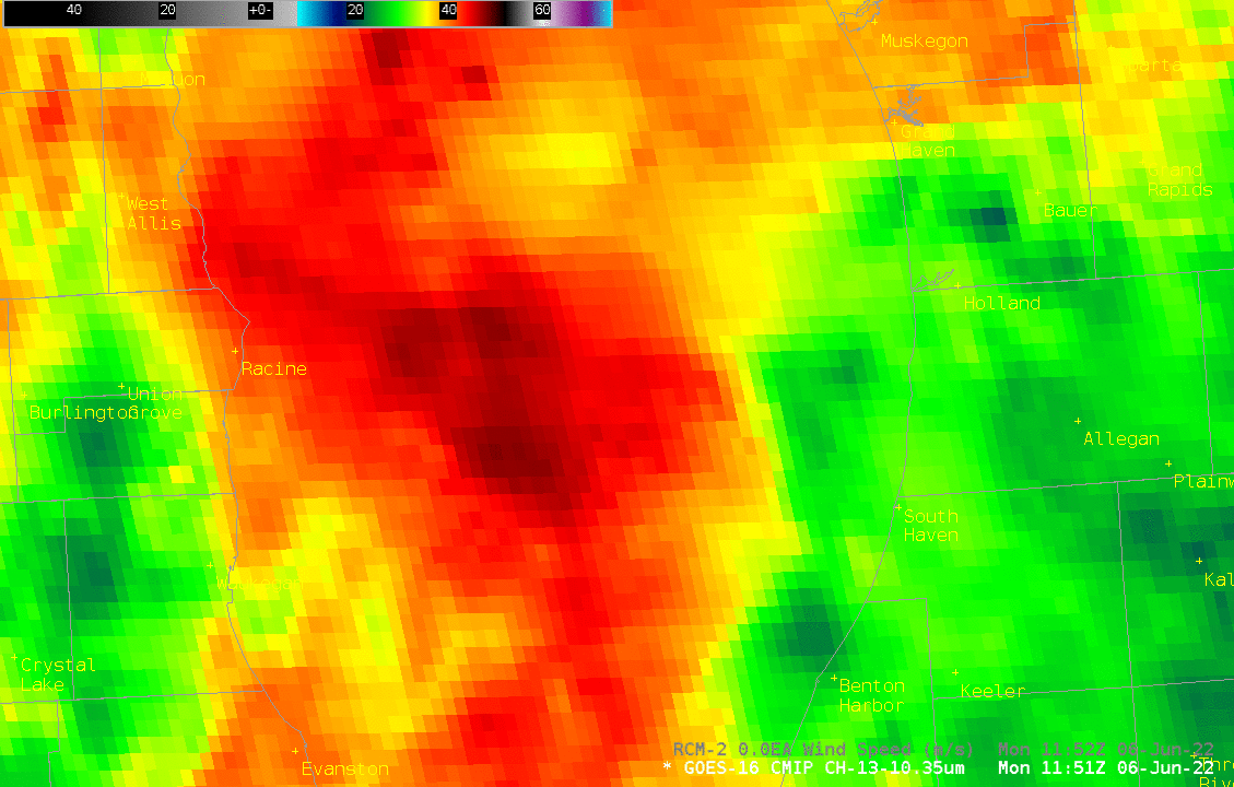
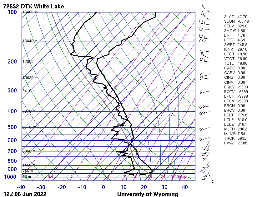
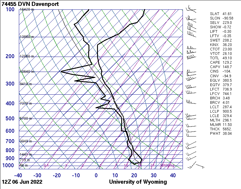
Modest convection (cloud tops are only around -48oC) over central Lake Michigan likely generated the bore. For a bore to propagate, a strong inversion is required. Soundings at Green Bay WI and Gaylord MI likely are unrepresentative of the environment over southern Lake Michigan. The sounding at White Lake Michigan — near Detroit — (from this website) does show a surface inversion, as does the sounding at Davenport IA. The cool late-Spring waters of Lake Michigan will serve to anchor a similar low-level inversion over the Lake; bore features travel along those inversions.