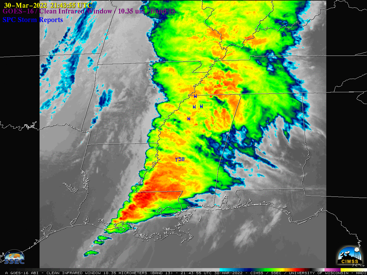
Widespread severe weather across the Mid-South and Deep South

GOES-16 “Clean” Infrared Window (10.35 µm) images, with time-matched SPC Storm Reports plotted in blue [click to play animated GIF | MP4]
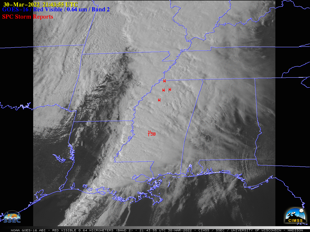
The corresponding 1-minute GOES-16 “Red” Visible (0.64µm) images (below) showed these storms during the period leading up to sunset on 30 March.

GOES-16 “Red” Visible (0.64 µm) images, with time-matched SPC Storm Reports plotted in red [click to play animated GIF | MP4]

