Snow squalls in North Dakota and Minnesota

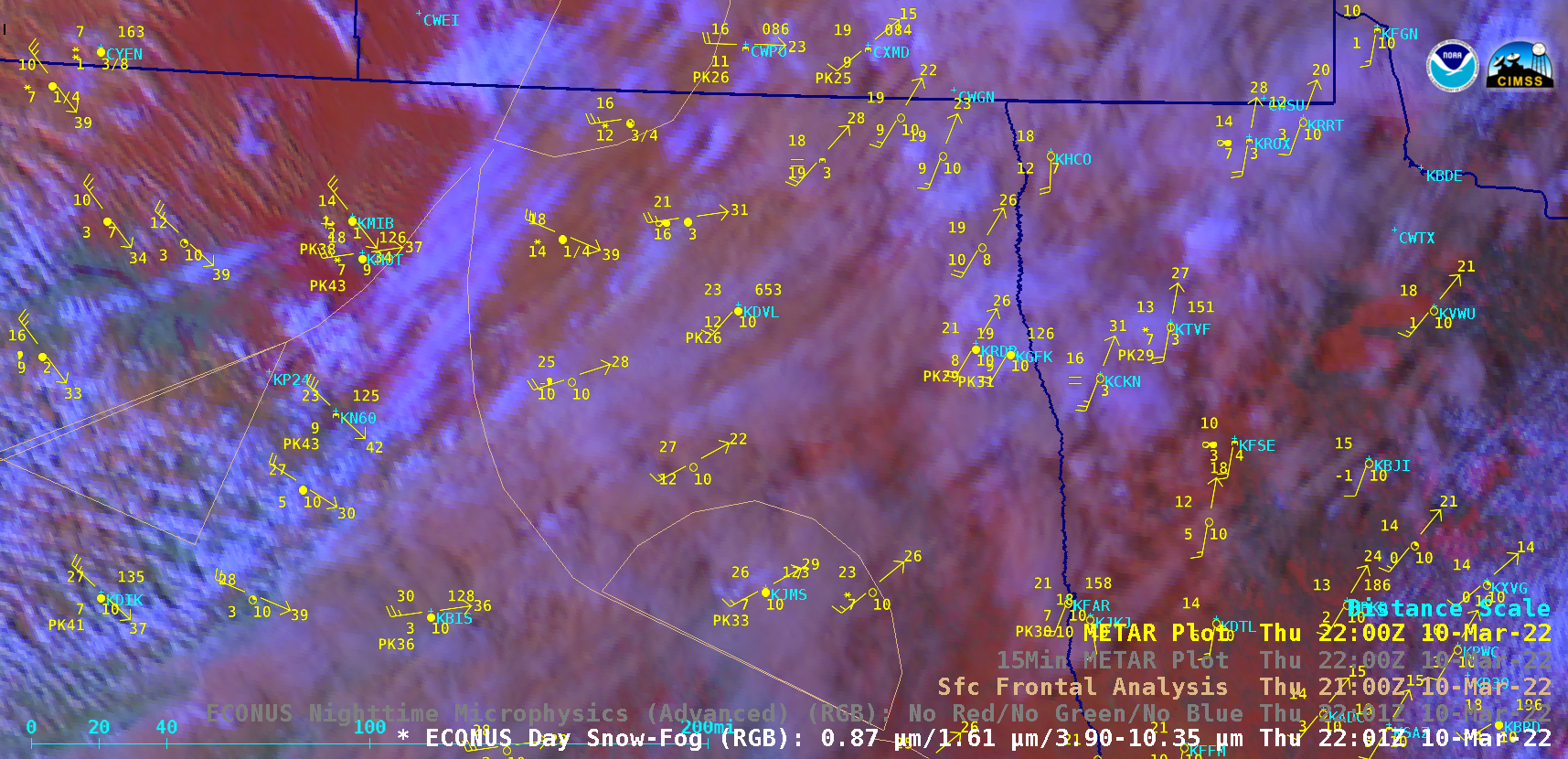
GOES-16 Day Snow-Fog RGB and Nighttime Microphysics RGB images [click to play animated GIF | MP4]
GOES-16 (GOES-East) Day Snow-Fog RGB and Nighttime Microphysics RGB images (above) showed a narrow band of clouds along the leading edge of an arctic cold front that was moving southeastward across North Dakota and Minnesota late in the day on 10 March 2022. Strong winds combined with snowfall from this narrow band produced snow squall conditions at many locations, with visibility reduced to near zero at times. The Day Snow-Fog RGB images also helped to highlight narrow bands of blowing snow behind the cold front across parts of northern North Dakota.
This event warranted the first Snow Squall Warning to be issued by the NWS Grand Forks forecast office.

