Blowing snow across North Dakota and Minnesota

GOES-16 Day Snow-Fog RGB images, with and without plots of METAR surface reports [click to play animated GIF | MP4]
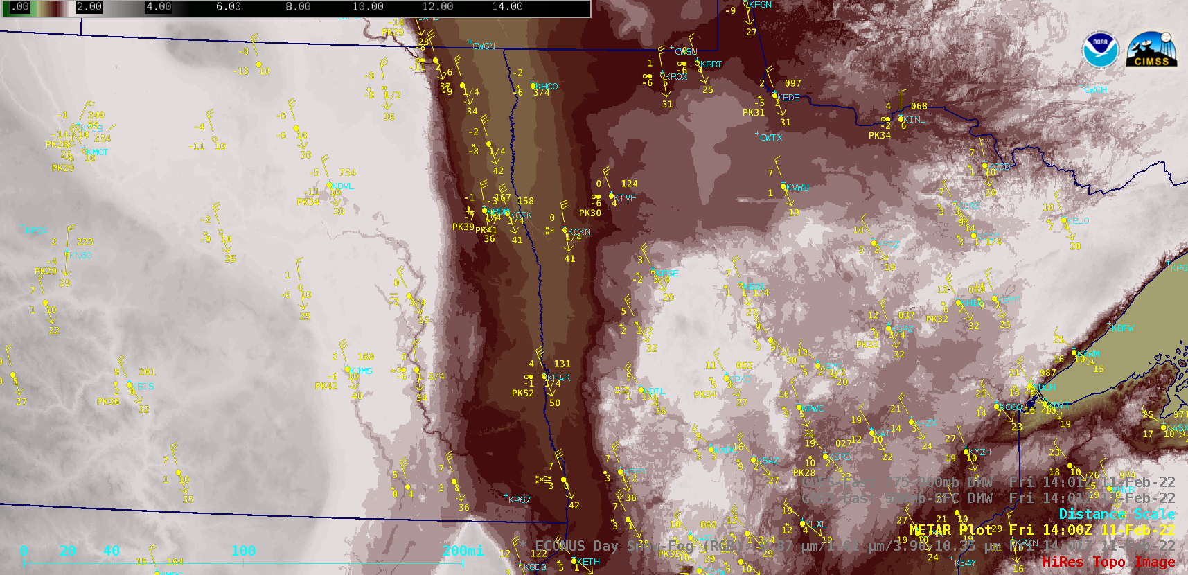
GOES-16 (GOES-East) Day Snow-Fog RGB images (above) showed the signature of widespread horizontal convective rolls — which highlighted areas where blowing snow was creating ground blizzard conditions — across parts of eastern North Dakota and far western Minnesota on 11 February 2022. The elongated bands of blowing snow were more concentrated where they were being channeled by strong northerly winds through the lower elevations of the Red River Valley (peak wind gusts included 60 mph in North Dakota and 56 mph in Minnesota). The surface visibility was briefly reduced to near zero at reporting sites such as Crookston MN (KCKN) and Wahpeton ND (KBWP).
A closer view using 1-minute Mesoscale Domain Sector GOES-16 Day Snow-Fog RGB images (below) showed portions of Interstate 29 (between Grand Forks KGFK and Fargo KFAR) and Interstate 94 (between Jamestown KJMS and Fargo KFAR) that were impacted by these bands of blowing snow.

GOES-16 Day Snow-Fog RGB images, with and without plots of METAR surface reports [click to play animated GIF | MP4]
This event is also discussed at the Satellite Liaison Blog (link).