Power outages over the mid-South

The wide-ranging high-impact storm that brought snowfall in a long band from the Southern Plains to the eastern Great Lakes and New England, as shown here (analysis from this website), and severe weather to Mississippi and Alabama, produced significant icing over the mid-south. With the icing came power outages, as shown in this screenshot (from 1410 UTC on 4 February 2022) from the Memphis (TN) Power and Light website. (You can also view state-wide maps, from this website, for Tennessee and Arkansas).
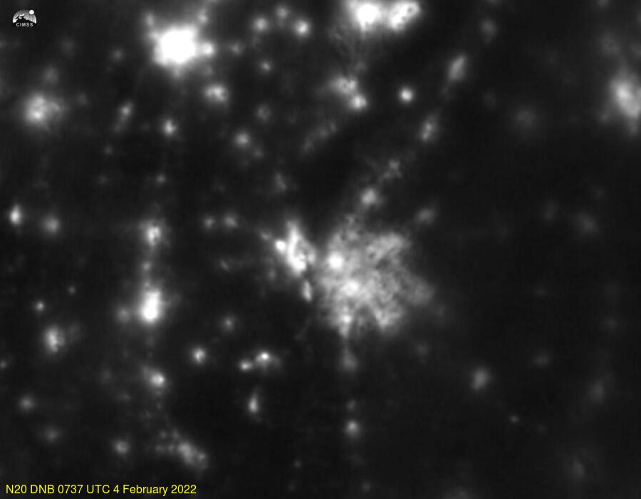
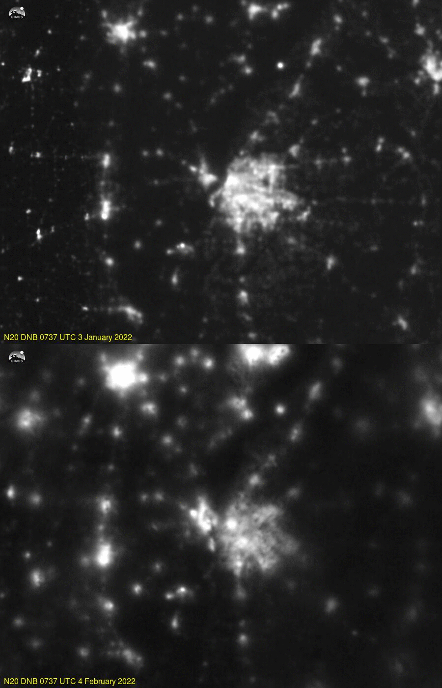
Day Night Band imagery on both NOAA-20 and Suomi-NPP can be used to determine the horizontal extent of Power Outages (as noted on this blog in the past numerous times; here and here for example). The NOAA-20 Day Night Band image above (NOAA-20 orbits for 4 February are shown here), centered on Memphis, and derived from the VIIRS Today Website, shows light emissions over Memphis and surroundings (note that the Moon on 4 February will not be providing lunar illumination at 0737 UTC; it is just 4 days past a New Moon, and the Moon set at 0224 UTC on 3 February). How can you judge the effect of power outages using the Day Night Band? This is typically done by comparing Day Night bands from before and during the Power Outages — with similar cloud cover. Finding similar cloud cover and similar lunar illumination is a challenge. A possible example is shown below, a toggle between NOAA-20 images on 4 February and from 32 days earlier, on 3 January.
Even with identical viewing geometry, and similar cloud conditions, it’s difficult to ascertain where lights are not present because of outages, and where they might be missing because of cloud cover. Regions to the east and south of Memphis show fewer light signals on 4 February — but clouds are also thicker there on 4 February!


