Blowing snow in North Dakota and Minnesota

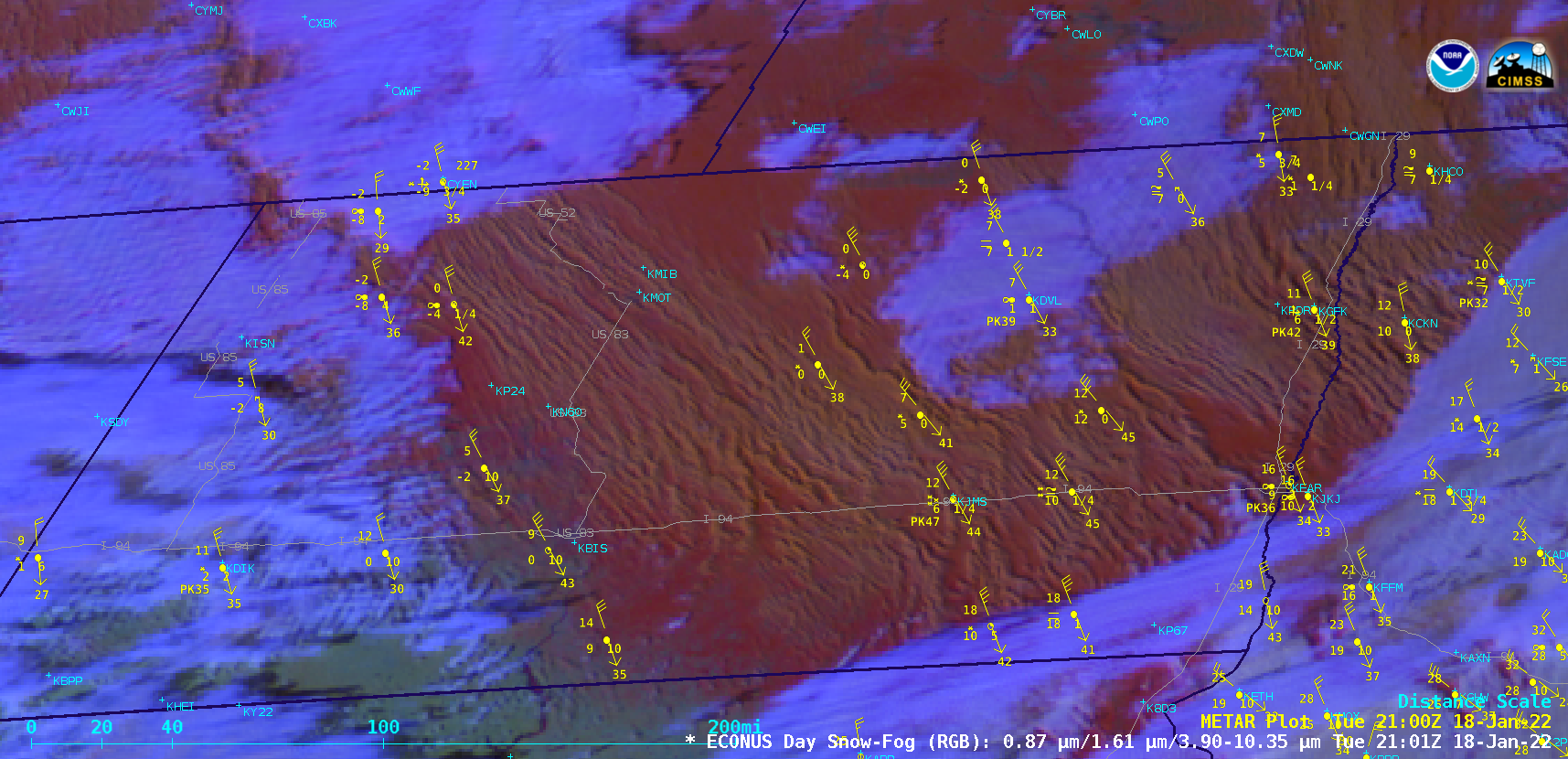
GOES-16 Day Snow-Fog RGB images, with surface reports plotted in yellow [click to play animated GIF | MP4]
GOES-16 (GOES-East) Day Snow-Fog RGB images (above) displayed widespread streamers of blowing snow (pale shades of white) across much of North Dakota and far northwestern Minnesota on 18 January 2022. Blowing snow was lofted from the surface by elongated horizontal convective rolls that developed in the wake of a strong cold frontal passage — surface winds gusted to 58 knots (67 mph) at Garrison in western North Dakota, and the surface visibility was reduced to zero at several locations. An arctic air mass behind the cold front helped the surface temperature drop to -22º F at Willow City, ND the following morning.
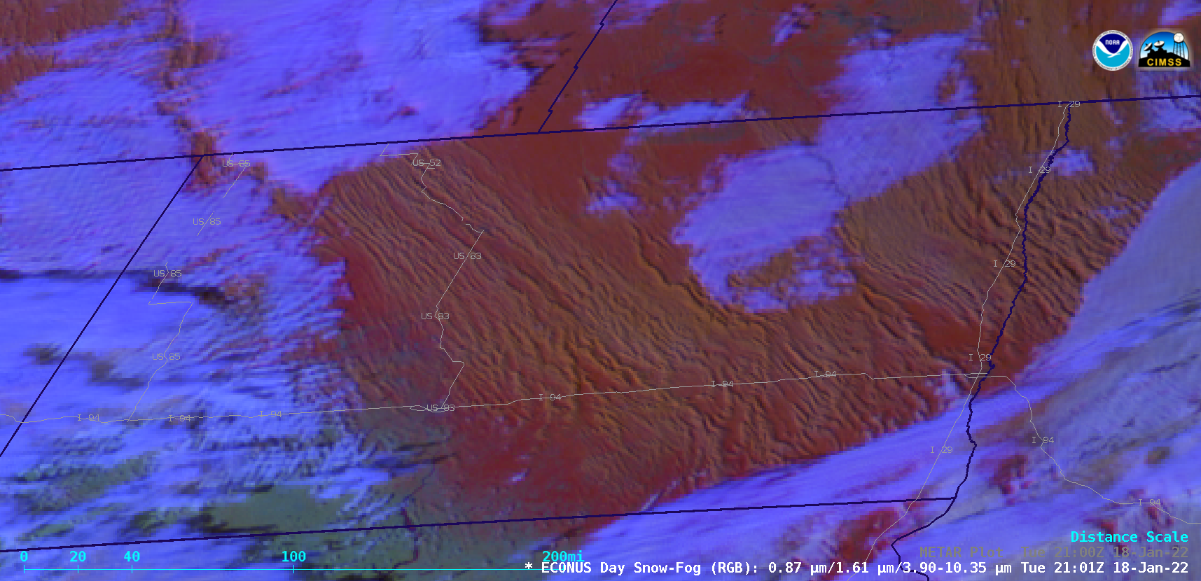
A more uncluttered view — without plots of surface reports — is shown below (Interstates and major highways are plotted in gray). Some secondary highways were closed due to the ground blizzard conditions.

GOES-16 Day Snow-Fog RGB images [click to play animated GIF | MP4]

