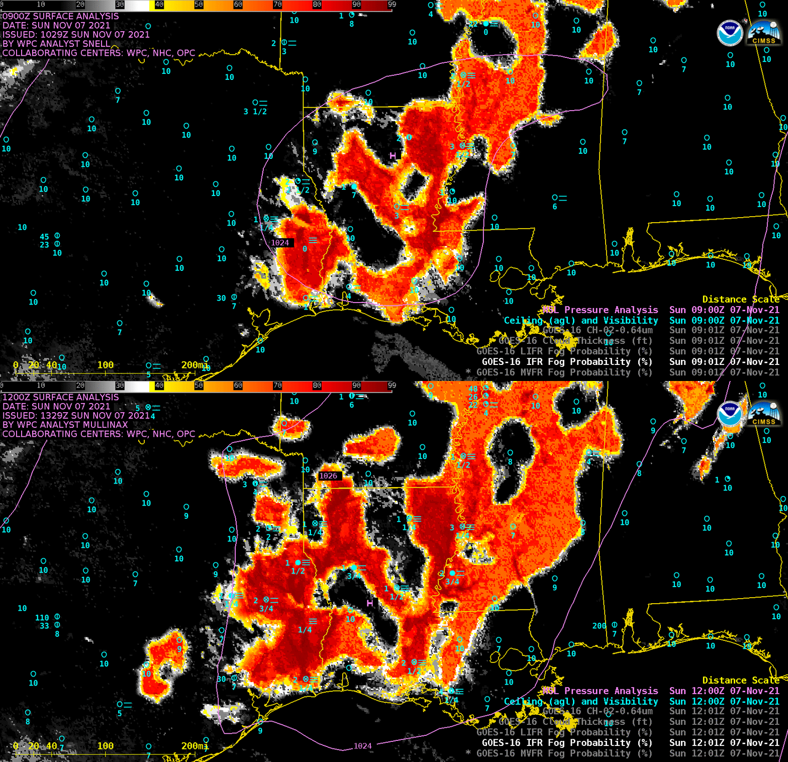
Radiation fog across the Lower Mississippi Valley and Gulf Coast
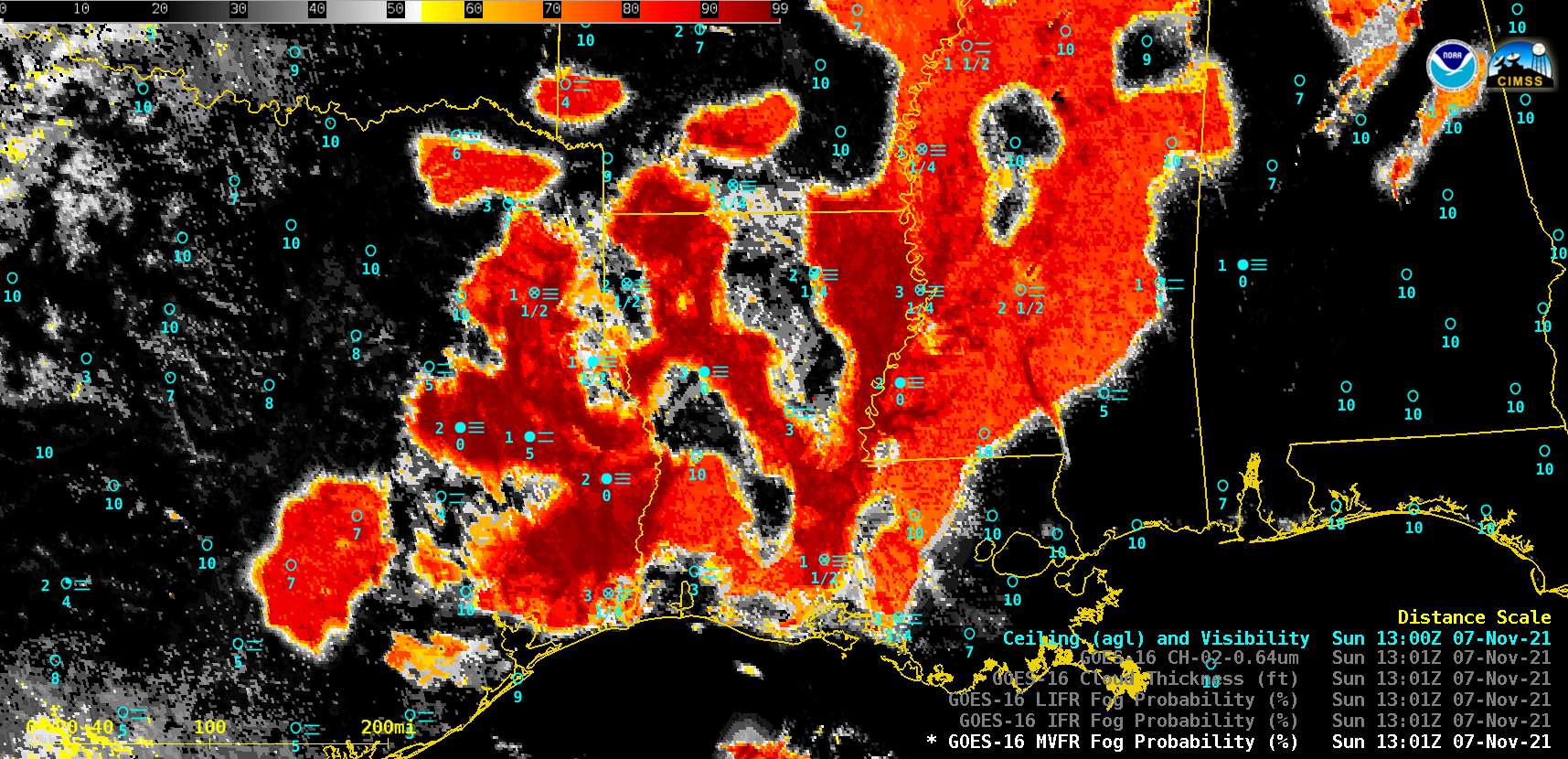
The suite of nighttime GOES-16 (GOES-East) Fog / Low Stratus products — Marginal Visual Flight Rules (MVFR) Probability, Instrument Flight Rules (IFR) Probability, Low Instrument Flight Rules (LIFR) Probability, and Cloud Thickness — along with the subsequent daytime “Red” Visible (0.64 µm) images (above) showed the increasing areal coverage of vertically shallow (Cloud Thickness values less than 1000 feet) radiation fog across parts of Texas, Louisiana, Arkansas and Mississippi on 07 November 2021. The surface visibility was reduced to zero at a few sites, with cloud ceilings as low as 100 feet being reported. Visible images showed that this shallow fog layer then quickly dissipated within a few hours after sunrise.This fog was forming due to optimal radiational cooling conditions — light winds, along with a general lack of cloud cover — beneath a ridge of high pressure over that region (below). Surface air temperatures dropped into the 30s and 40s F across much of the area where this fog formed.