Freezing fog in the Carolinas and Virginia
![GOES-16 Nighttme Microphysics, Night Fog BTD (10.3-3.9 µm) and Cloud Thickness product [click to play animation | MP4]](https://cimss.ssec.wisc.edu/satellite-blog/images/2021/01/nc_ntm_obs-20210113_110115.png)
GOES-16 Nighttime Microphysics RGB, Night Fog BTD (10.3-3.9 µm) and Cloud Thickness product [click to play animation | MP4]
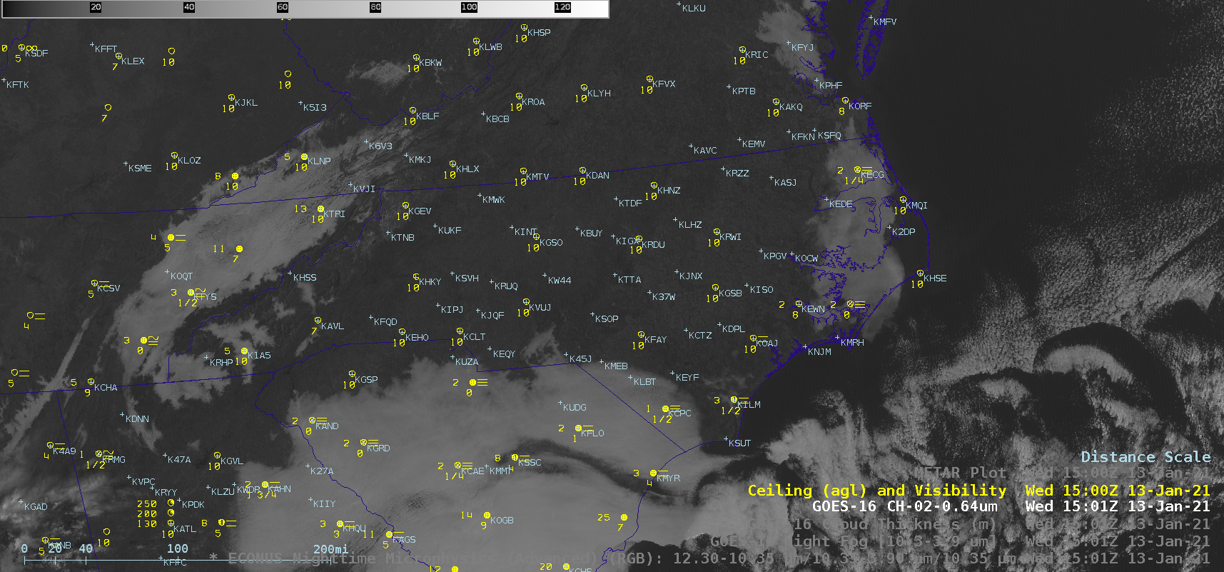
GOES-16 Nighttime Microphysics RGB images with plots of surface observations (below) indicated that air temperatures were near or just below freezing at most sites across the region.
![GOES-16 Nighttime Microphysics RGB images, with plots of surface observations [click to play animation | MP4]](https://cimss.ssec.wisc.edu/satellite-blog/images/2021/01/nc_ntm_obs-20210113_110115.png)
GOES-16 Nighttime Microphysics RGB images, with plots of surface observations [click to play animation | MP4]
![GOES-16 Nighttime Microphysics RGB image, with a plot of NAM40 model 925 hPa winds at 12 UTC [click to enlarge]](https://cimss.ssec.wisc.edu/satellite-blog/images/2021/01/nc_ntm_925winds-20210113_120115.png)
GOES-16 Nighttime Microphysics RGB image, with a plot of NAM40 model 925 hPa winds at 12 UTC [click to enlarge]

GOES-16 “Red” Visible (0.64 µm) images [click to play animation | MP4]

