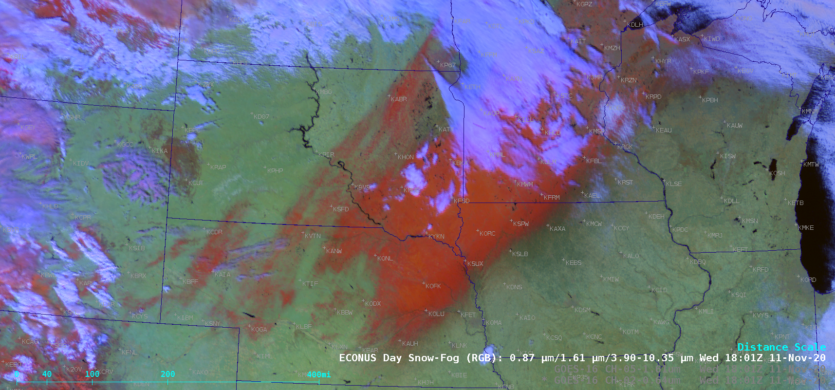
Snow cover and ice accrual across the Upper Midwest

GOES-16 “Red” Visible (0.64 µm), Near-Infrared “Snow/Ice” (1.61 µm) and Day Snow-Fog RGB images [click to play animation | MP4]
![GOES-16 “Red” Visible (0.64 µm), Near-Infrared "Snow/Ice" (1.61 µm) and Day Snow-Fog RGB images at 1501 UTC [click to enlarge]](https://cimss.ssec.wisc.edu/satellite-blog/images/2020/11/201111_1501utc_goes16_visible_snowIce_daySnowFogRGB_Upper_Midwest_snow_cover_anim.gif)
GOES-16 “Red” Visible (0.64 µm), Near-Infrared “Snow/Ice” (1.61 µm) and Day Snow-Fog RGB images at 1501 UTC [click to enlarge]


![Plots of Spectral Response Function for ABI Bands 1-5 [click to enlarge]](https://cimss.ssec.wisc.edu/satellite-blog/wp-content/uploads/sites/5/2019/01/ABI_Bands1-5_SRF.jpg)