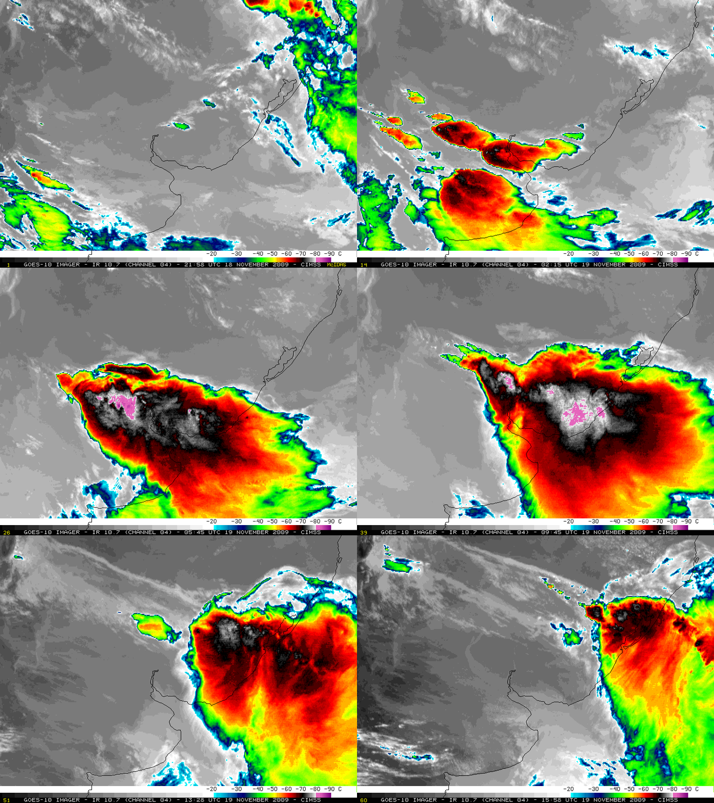
Mesocale Convective Complex in South America
McIDAS images of the GOES-10 10.7 µm IR channel (above) showed very cold cloud top temperatures associated with a large Mesoscale Convective Complex (MCC) that developed over northern Argentina and moved across Uruguay and into far southern Brazil on 19 November 2009. The MCC exhibited unusually cold IR brightness temperature values, as low as -89º C (dark purple color enhancement) at 04:58 UTC. In addition, early in the animation you can see several “enhanced-v” signatures on the IR imagery — this satellite signature indicates that severe convective storms have a high potential for producing damaging winds, large hail, or tornadoes. There were media reports of a tornado and hail in parts of Uruguay, and according to the Metsul Blog this MCC produced very strong winds (gusting to 82 mph or 36.8 meters per second) and heavy rainfall (2.8 inches or 70 mm in 2 hours) as the storm moved into the Rio Grande do Sul region of southern Brazil.
GOES-10 (launched in 1997) is currently positioned in orbit at approximately 60 degrees West longitude in support of the Earth Observation Partnership of the Americas EOPA project or GEOSS Americas — however, due to end-of-life fuel conditions, GOES-10 will cease operations on 01 December 2009.


