Early-season snowfall across the northern Plains

GOES-16 “Red” Visible (0.64 µm) and Day Cloud Phase Distinction RGB images [click to play animation | MP4]
A toggle between NOAA-20 VIIRS Sea Surface Temperature (SST) product and Infrared Window (11.45 µm) images at 0843 UTC (below) displayed a northwest-to-southeast cloud band that extended from Lake Sakakawea (which exhibited SST values in the low/mid 50s F) to the Bismarck (KBIS) / Mandan area. Note that Mandan (located just west of KBIS) was reporting “precipitation of unknown type” with an air temperature of 32ºF — indicating that this feature was a lake effect cloud band which was producing light precipitation (predominantly snow).
![NOAA-20 Sea Surface Temperature product and Infrared Window (11.45 µm) images at 0843 UTC [click to enlarge]](https://cimss.ssec.wisc.edu/satellite-blog/images/2020/10/201016_0843utc_noaa20_seaSurfaceTemperature_infrared_ND_anim.gif)
NOAA-20 VIIRS Sea Surface Temperature product and Infrared Window (11.45 µm) images at 0843 UTC [click to enlarge]
Yes there was. In fact we had some flakes from that band here at the office in Bismarck too. pic.twitter.com/h8h5Aaljlv
— NWS Bismarck (@NWSBismarck) October 18, 2020
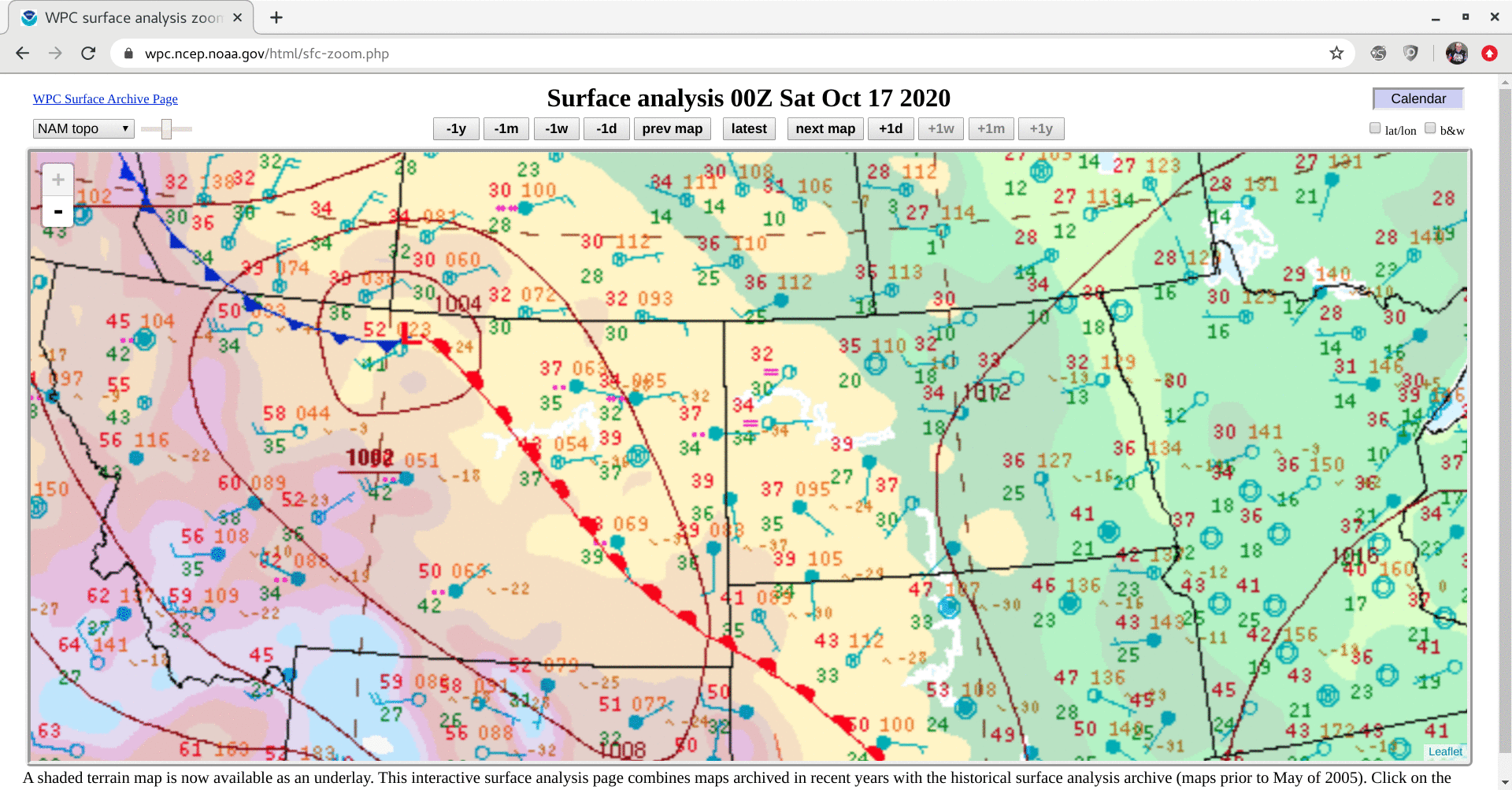
=====17 October Update =====
![GOES-16 Day Cloud Phase Distinction RGB images [click to play animation | MP4]](https://cimss.ssec.wisc.edu/satellite-blog/images/2020/10/201017_goes16_dayCloudPhaseDistinctionRGB_MT_ND_snowfall_anim.gif)
GOES-16 Day Cloud Phase Distinction RGB images [click to play animation | MP4]