NUCAPS Soundings and microwave-based and GOES Level 2 Rain Rates

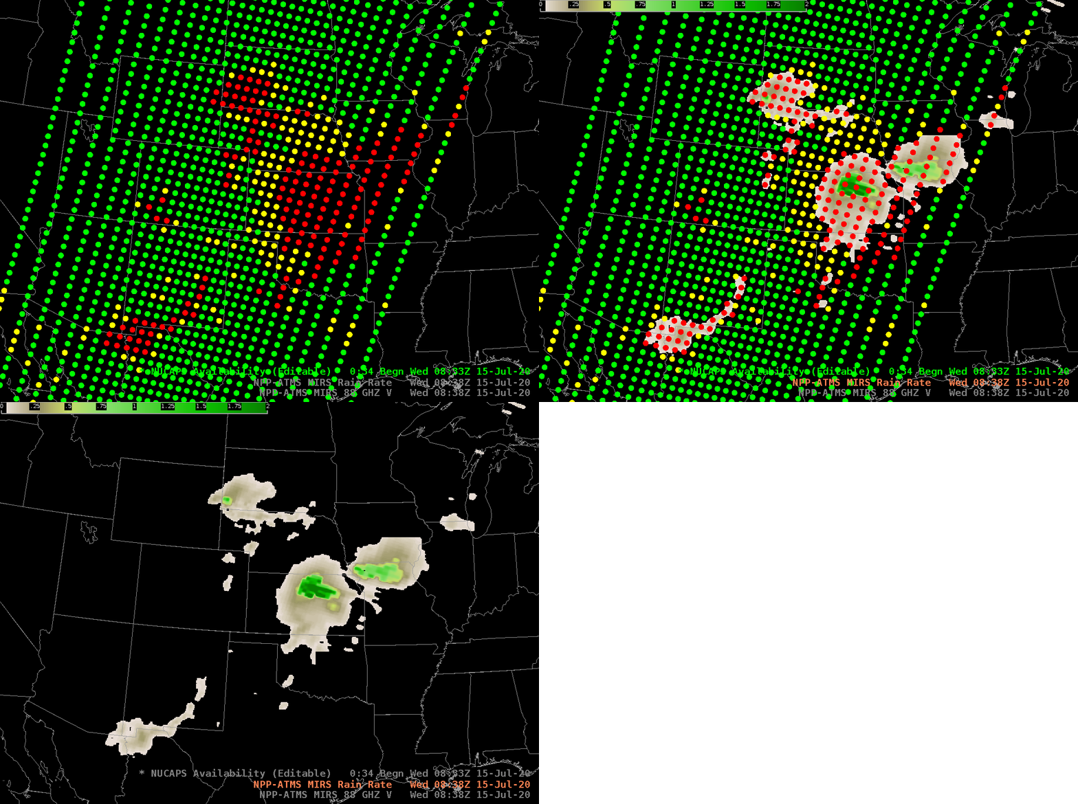
NOAA-20 NUCAPS Sounding Availability points and NOAA-20 ATMS-derived Rain Rates, 0830 UTC on 15 July 2020 (Click to enlarge)
The animation above steps between NUCAPS Sounding Availability points and MIRS estimates of Rain Rate derived from NOAA-20’s Advanced Technology Microwave Sounder (ATMS) instrument (and available via LDM download from CIMSS). ‘Red’ points in NUCAPS sounding availability are usually associated with precipitation, and that relationship is apparent in the toggle. With the exception of four red points in southwestern Colorado, falling precipitation is diagnosed by the ATMS where red points are shown.
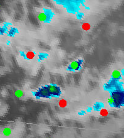
A zoomed-in view of those 4 points in SW Colorado, superimposed on GOES-16 ABI Band 13 (10.3 µm) infrared imagery is shown below. The profile at the green point in the middle of the red points is here; you can also view the northernmost red point, the westernmost red point, the southeasternmost red point, and the other red point. Note that all soundings are very similar; a conclusion might be that for those points, conversion in the retrieval is not the cause of the red (the alternative reason for ‘red’ is failure in cloud clearing).

Four Red NUCAPS Soundings Availability points in southwestern Colorado overlain on GOES-16 Clean Window (Band 13, 10.3 µm, infrared data), 0830 UTC on 15 July 2020
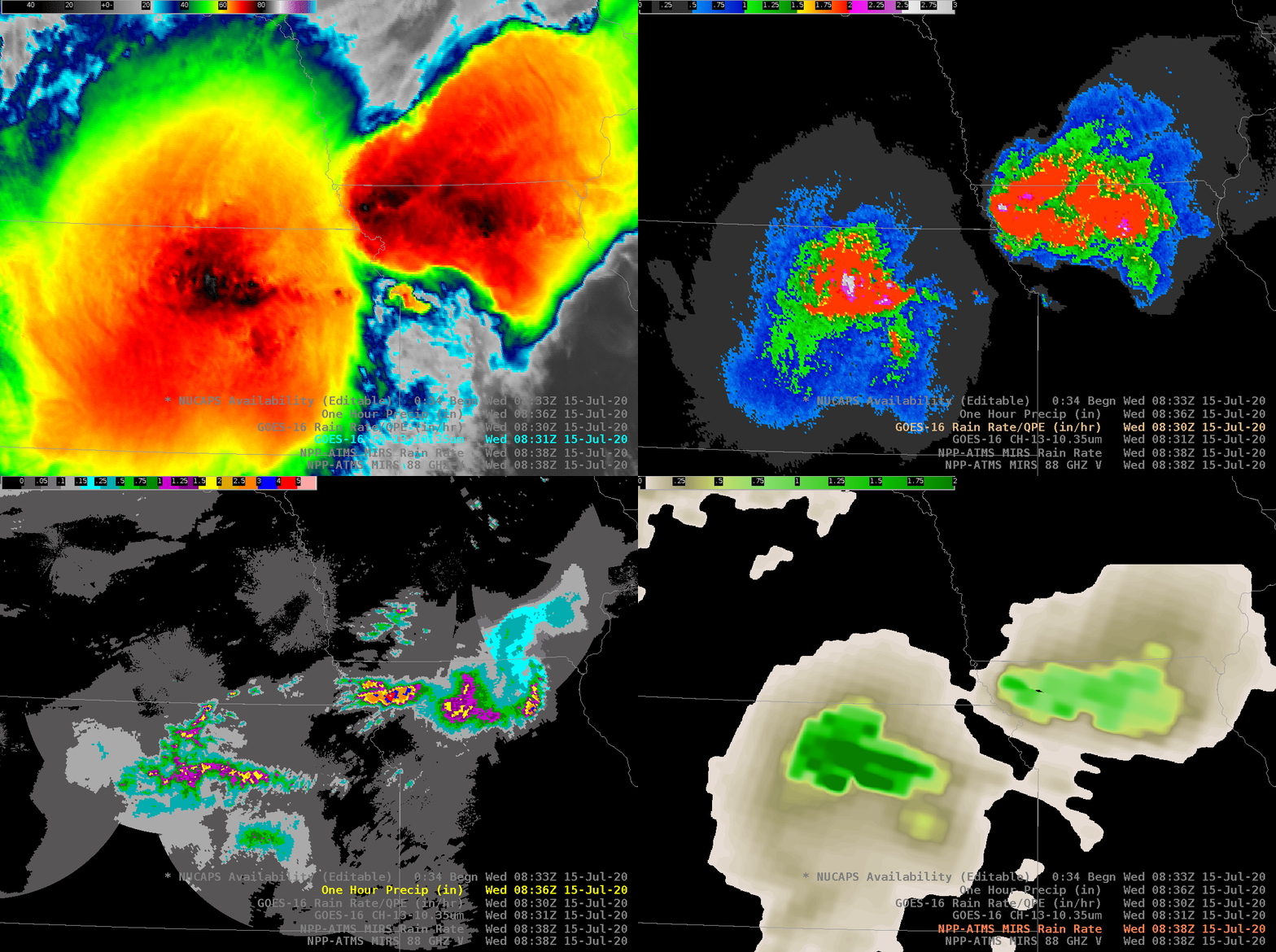
Rain Rate is a GOES-16 level 2 Derived Product that uses the infrared bands on the Advanced Baseline Imager (ABI). Satellite-derived rain products are especially important in regions where radar observations are unavailable (because of radar maintenance, or because no radar exists), or where observations are blocked by terrain (i.e., beam-blocking). The toggle is zoomed in over the mesoscale systems over Kansas and Iowa/Missouri and includes the GOES-16 Clean Window, the GOES-16 Rain Rate and the MIRS Rain Rate (derived from direct broadcast data at UW-Madison CIMSS; information on MIRS Processing is here and here.) and a 1-hour radar-derived product. Each of these rainfall estimates have different spatial and temporal resolutions, and that makes intercomparison challenging.


