Stratospheric smoke from Australian bushfires

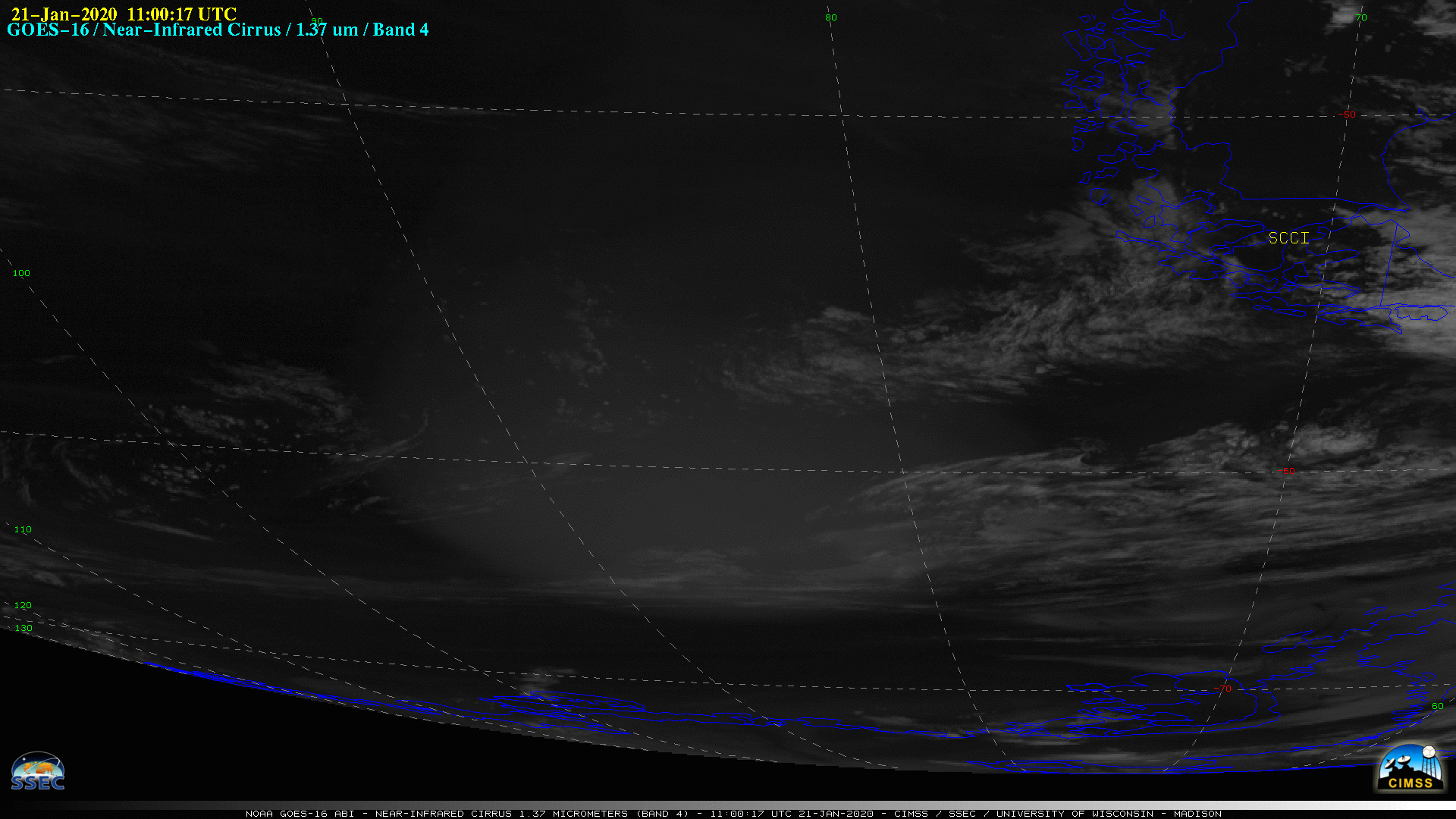
GOES-16 Near-Infrared “Cirrus” (1.37 µm) images, 19-24 January 2019 [click to play animation | MP4]
CALIPSO satellite CALIOP lidar data indicated that this smoke often resided at altitudes in the 18-24 km range — one example from 21 January can be seen here. 12-hourly GOES-16 Cirrus images with plots of GFS model 70 hPa wind barbs during the 20-24 January 2019 period (below) showed that winds at the 70 hPa pressure level were generally light.
![GOES-16 Near-Infrared "Cirrus" (1.37 µm) images, with plots of GFS model 70 hPa wind barbs (knots), 20-24 January 2019 [click to enlarge]](https://cimss.ssec.wisc.edu/satellite-blog/images/2020/01/200120_200124_goes16_nearInfrared_cirrus_70hPa_winds_anim.gif)
GOES-16 Near-Infrared “Cirrus” (1.37 µm) images, with plots of GFS model 70 hPa wind barbs (knots), 20-24 January 2019 [click to enlarge]


![Plot of rawinsonde data from Punta Arenas, Chile at 12 UTC on 24 January [click to enlarge]](https://cimss.ssec.wisc.edu/satellite-blog/images/2020/01/200124_SCCI_RAOB.GIF)