Canadian wildfire smoke over the Upper Midwest
![GOES-16 True Color RGB images [click to play animation | MP4]](https://cimss.ssec.wisc.edu/satellite-blog/wp-content/uploads/sites/5/2019/05/201905310026_wi.jpg)
GOES-16 True Color RGB images [click to play animation | MP4]
Images from the west-facing AOSS rooftop camera (below) showed the slow obscuration of the setting sun as the smoke layers aloft became increasingly thick.
![Images from the west-facing AOSS rooftop camera [click to play animation | MP4]](https://cimss.ssec.wisc.edu/satellite-blog/wp-content/uploads/sites/5/2019/05/190530_west_camera_100.png)
Images from the west-facing AOSS rooftop camera [click to play animation | MP4]

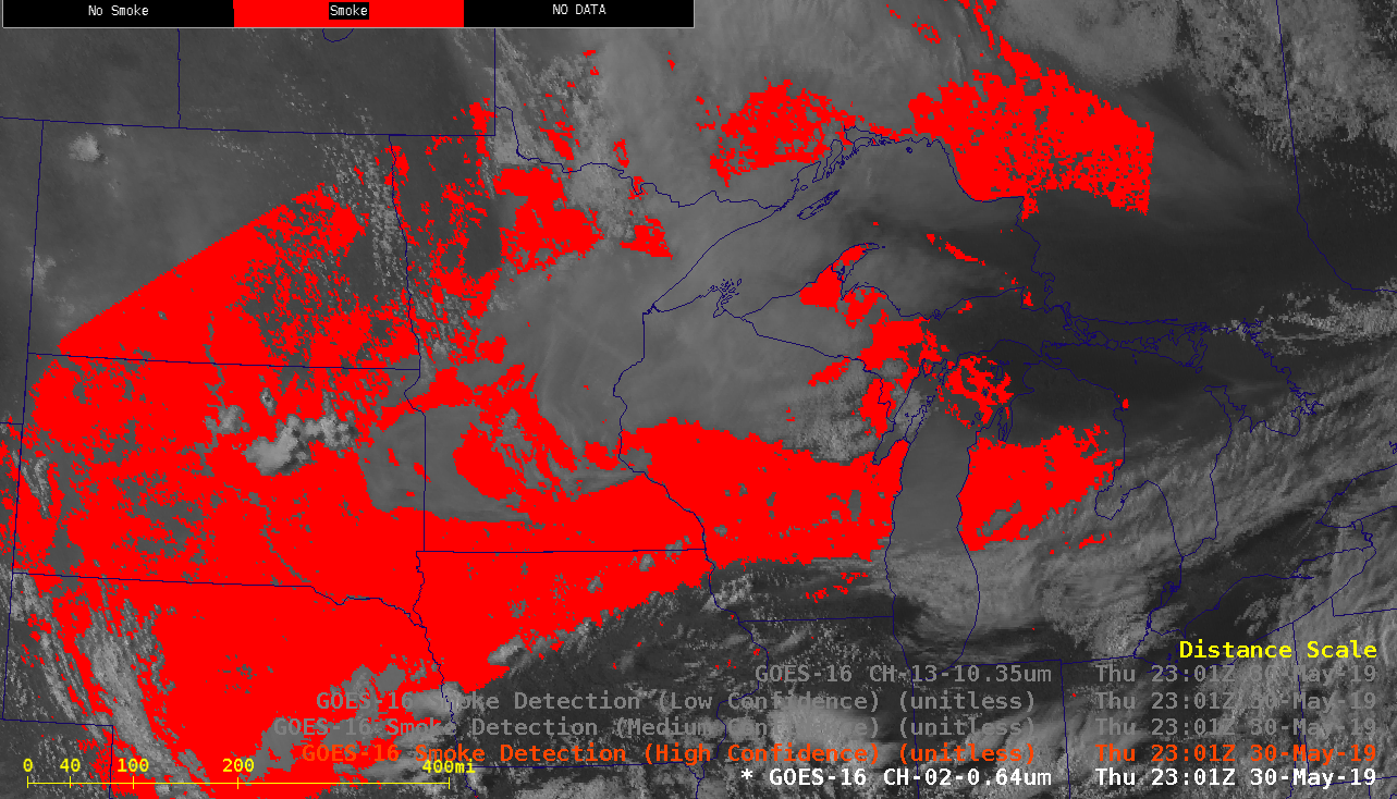
GOES-16 “Red” Visible (0.64 µm) and Smoke Detection product [click to play animation | MP4]
![GOES-16 "Clean" Infrared Window (10.3 µm) images [click to play animation | MP4]](https://cimss.ssec.wisc.edu/satellite-blog/wp-content/uploads/sites/5/2019/05/wi_ir-20190530_180640.png)
GOES-16 “Clean” Infrared Window (10.3 µm) images [click to play animation | MP4]
![GOES-16 Aerosol Optical Depth product [click to play animation | MP4]](https://cimss.ssec.wisc.edu/satellite-blog/wp-content/uploads/sites/5/2019/05/wi_aod-20190530_183140.png)
GOES-16 Aerosol Optical Depth product [click to play animation | MP4]

