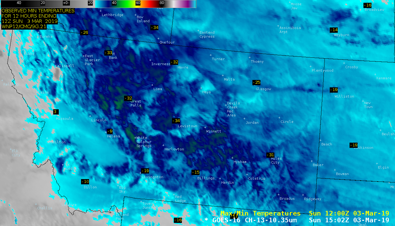
Cold temperatures in Montana
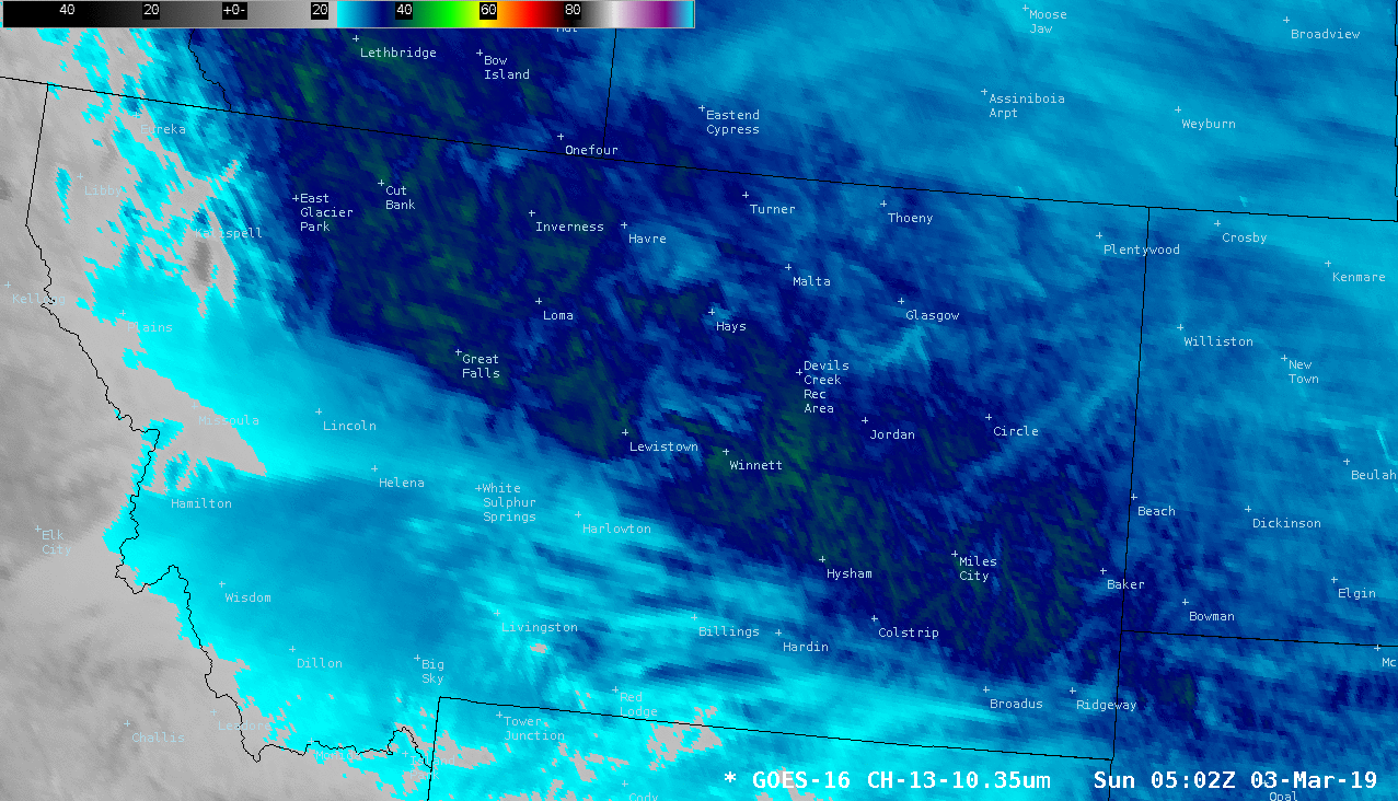
GOES-16 “Clean” Infrared Window (10.3 µm) images, with observed minimum surface air temperatures [click to play animation | MP4]
A sequence of 3 consecutive VIIRS Infrared Window (11.45 µm) images (from NOAA-20 and Suomi NPP) with a different color enhancement is shown below — the red shades indicate surface infrared brightness temperatures of -40ºC and colder.
![Sequence of 3 consecutive VIIRS Infrared Window (11.45 µm) images from NOAA-20 and Suomi NPP [click to enlarge]](https://cimss.ssec.wisc.edu/satellite-blog/wp-content/uploads/sites/5/2019/03/190303_viirs_infrared_MT_anim.gif)
Sequence of 3 consecutive VIIRS Infrared Window (11.45 µm) images from NOAA-20 and Suomi NPP [click to enlarge]
===== 04 March Update =====
![GOES-16 "Clean" Infrared Window (10.3 µm) images, with observed minimum aurface air temperatures [click to play animation | MP4]](https://cimss.ssec.wisc.edu/satellite-blog/wp-content/uploads/sites/5/2019/03/190304_goes16_infrared_MT_anim.gif)
GOES-16 “Clean” Infrared Window (10.3 µm) images, with observed minimum surface air temperatures [click to play animation | MP4]
A sequence of 3 consecutive VIIRS Infrared Window images from NOAA-20 and Suomi NPP (below) revealed surface infrared brightness temperatures as cold as -46ºC or -51ºF within the red-enhanced areas.
![Sequence of 3 consecutive VIIRS Infrared Window (11.45 µm) images from NOAA-20 and Suomi NPP [click to enlarge]](https://cimss.ssec.wisc.edu/satellite-blog/wp-content/uploads/sites/5/2019/03/190304_viirs_infrared_Montana_anim.gif)
Sequence of 3 consecutive VIIRS Infrared Window (11.45 µm) images from NOAA-20 and Suomi NPP [click to enlarge]