Severe weather in Kansas, Nebraska and Iowa
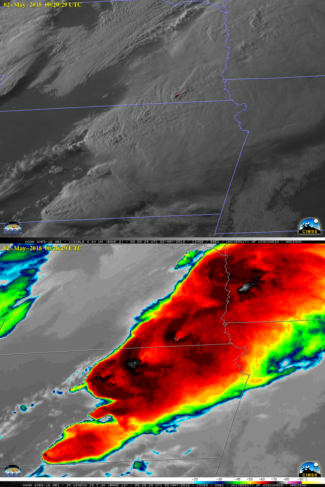
GOES-16 “Red” Visible (0.64 µm) images, with SPC storm reports plotted in red [click to play MP4 animation]
By Scott Bachmeier •
GOES-16 “Red” Visible (0.64 µm) images, with SPC storm reports plotted in red [click to play MP4 animation]
GOES-16 “Clean” Infrared Window (10.3 µm) images, with SPC storm reports plotted in cyan [click to play MP4 animation]

GOES-16 “Red” Visible (0.64 µm) and “Clean” Infrared Window (10.3 µm) images, with SPC storm reports [click to enlarge]
Categories: GOES-16, Severe convection