Using GLM data to monitor convective development
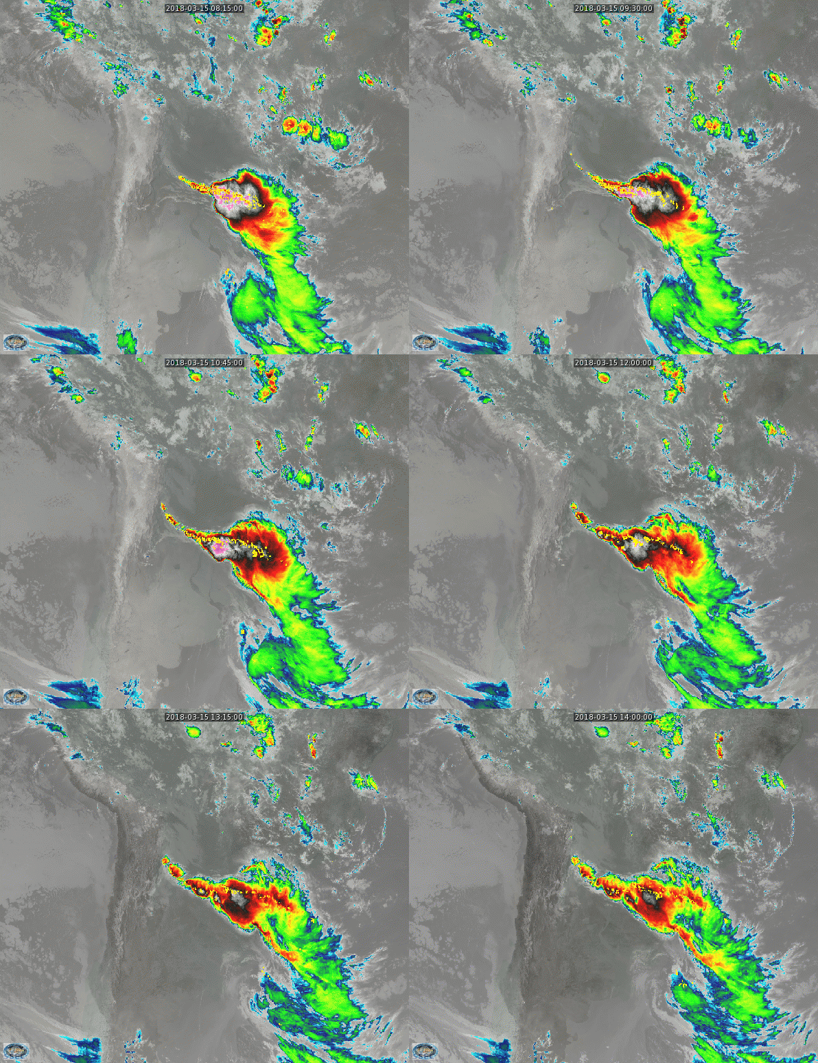
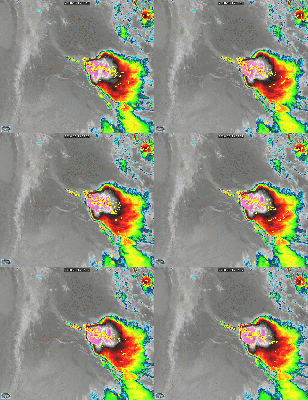
Strong convection developed on 15 March over the Pampas of Argentina and Uruguay, as shown above. Full Disk imagery is available only every 15 minutes, and considerable convective development is possible during the 15 minutes between scans. If a Mesoscale sector with 1-minute imagery is not over convection, Geostationary Lightning Mapper (GLM) data from GOES-16 can be used to monitor convection during the time interval between Full Disk Scans: GLM updates every minute. The 18-minute animation below (from Real Earth) includes 3 Full-Disk images and every-minute updates of GLM Group Density. Group Density between 0700-0715 shows no sign of diminishing. It should not surprise that cloud-tops continue to expand and cool when the 0715 UTC ABI Imagery appears at the end of the loop.
Note: When GOES-16 or GOES-17 (GOES-S achieved Geostationary Orbit on 12 March and became GOES-17) are operating under Mode 6 (vs. the present-day Mode 3), Full Disk imagery will be available every ten minutes vs. current fifteen minutes.


