Lee-side cold frontal gravity wave
![GOES-16 Low-level (7.3 µm, left), Mid-level (6.9 µm, middle) and Upper-level (6.2 µm, right) Water Vapor images, with hourly surface wind barbs plotted in cyan [click to play animation]](https://cimss.ssec.wisc.edu/satellite-blog/wp-content/uploads/sites/5/2018/02/180205_goes16_water_vapor_surface_winds_Plains_lee_side_gravity_wave_anim.gif)
GOES-16 Low-level (7.3 µm, left), Mid-level (6.9 µm, middle) and Upper-level (6.2 µm, right) Water Vapor images, with hourly surface wind barbs plotted in cyan [click to play animation]
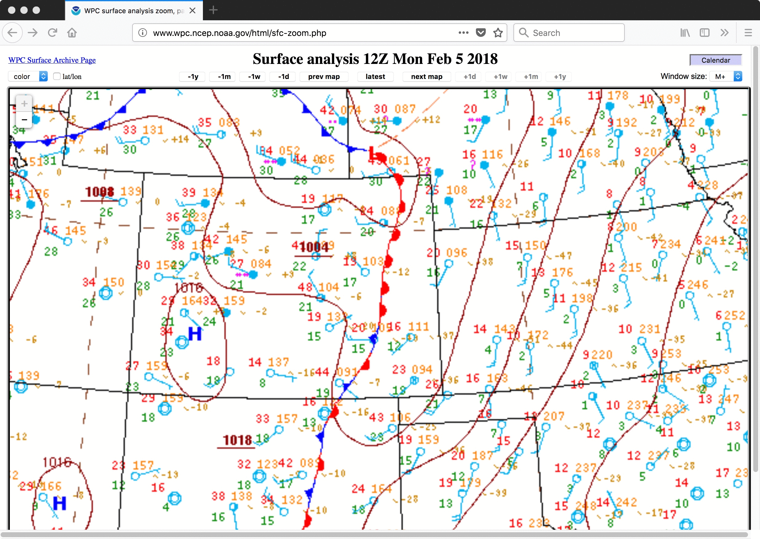
Plots of the weighting function (or “contribution function”) for each of the three GOES-16 Water Vapor bands (below) are calculated using 05 February/12 UTC rawinsonde data from Dodge City, Kansas — which was south of the cold front at that time. The peak pressure level for all three weighting function plots was in the 442-497 hPa range, giving some indication of the depth of these vertically-propagating gravity waves.
![Weighting function plots for each of the three GOES-16 Water Vapor bands, calculated using 05 February/12 UTC rawinsonde data from Dodge City, Kansas [click to enlarge]](https://cimss.ssec.wisc.edu/satellite-blog/wp-content/uploads/sites/5/2018/02/180205_12utc_kddc_wv_wf.jpeg)
Weighting function plots for each of the three GOES-16 Water Vapor bands, calculated using 05 February/12 UTC rawinsonde data from Dodge City, Kansas [click to enlarge]
![Weighting function plots for each of the three GOES-16 Water Vapor bands, calculated using 06 February/00 UTC rawinsonde data from Amarillo, Texas [click to enlarge]](https://cimss.ssec.wisc.edu/satellite-blog/wp-content/uploads/sites/5/2018/02/180206_00utc_kama_wv_wf.jpeg)
Weighting function plots for each of the three GOES-16 Water Vapor bands, calculated using 06 February/00 UTC rawinsonde data from Amarillo, Texas [click to enlarge]