Satellite signatures of the JPSS-1 launch
![Suomi NPP VIIRS Day/Night Band (0.7 µm) image [click to enlarge]](https://cimss.ssec.wisc.edu/satellite-blog/wp-content/uploads/sites/5/2017/11/171118_0925utc_VIIRS_DNB_Vandenberg_lables.png)
Suomi NPP VIIRS Day/Night Band (0.7 µm) image [click to enlarge]
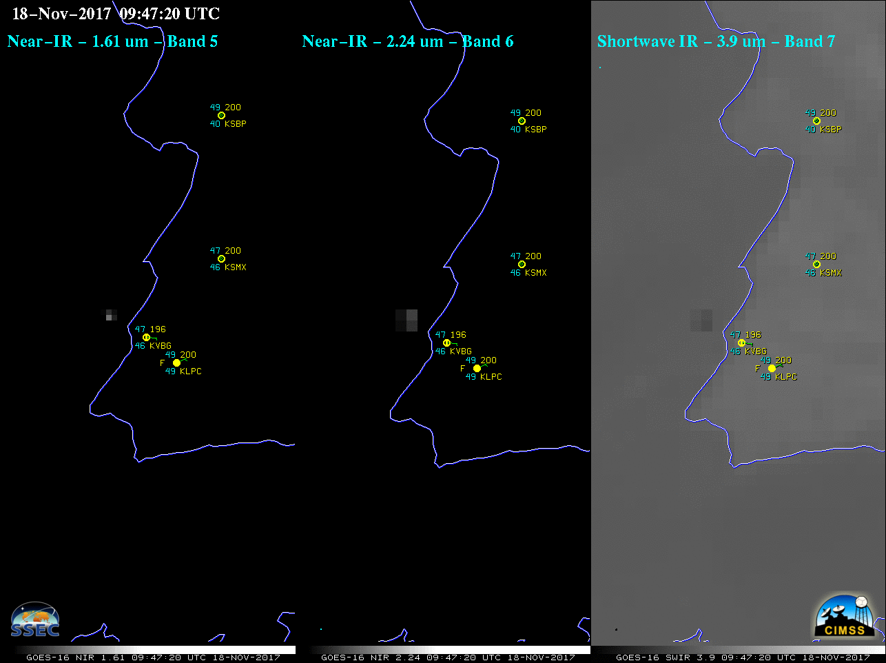
A comparison of 3 consecutive images of GOES-16 Near-Infrared “Snow/Ice” (1.61 µm), Near-Infrared “Cloud Particle Size” (2.24 µm) and Shortwave Infrared (3.9 mm) data (below) revealed the thermal signature of the launch rocket booster engines at 0947 UTC (just west of the California coast). The hot thermal signature is brighter white on the Near-Infrared images, and darker gray on the Shortwave Infrared image. Nearby 09 UTC surface observations are also plotted (KVBG = Vandenberg AFB).
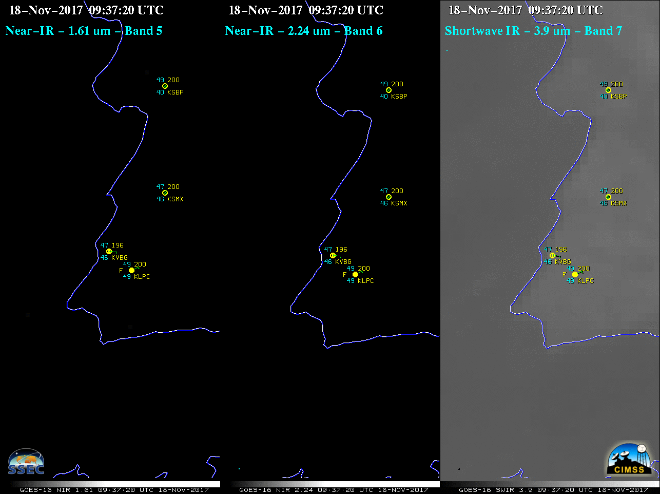
GOES-16 Near-Infrared “Snow/Ice” (1.61 µm, left), Near-Infrared “Cloud Particle Size” (2.24 µm, center) and Shortwave Infrared (3.9 mm, right) images, with plots of surface observations [click to enlarge]
![GOES-16 Lower-level (7.3 µm, left), Mid-level (6.9 µm, center) and Upper-level (6.2 µm, right) Water Vapor images, with plots of surface reports [click to enlarge]](https://cimss.ssec.wisc.edu/satellite-blog/wp-content/uploads/sites/5/2017/11/171118_goes16_WaterVapor_JPSS1_launch_anim.gif)
GOES-16 Lower-level (7.3 µm, left), Mid-level (6.9 µm, center) and Upper-level (6.2 µm, right) Water Vapor images, with plots of surface reports [click to enlarge]
* GOES-16 data posted on this page are preliminary, non-operational and are undergoing testing *