Widespread Smoke in the Pacific Northwest

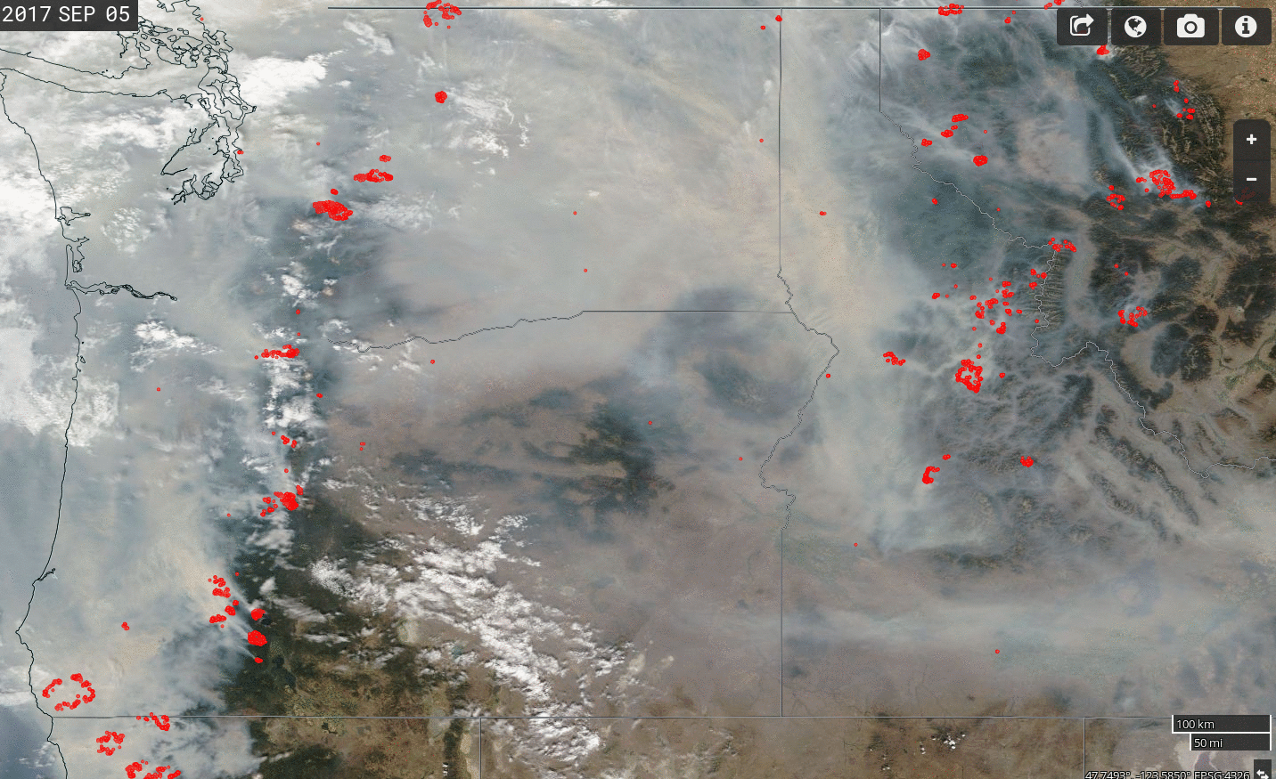
Daily Snapshots of Suomi NPP True Color Imagery overlain with Fire Detection points (in red), from 25 August – 5 September 2017 (Click to animate)
GOES-16 data posted on this page are preliminary, non-operational and are undergoing testing
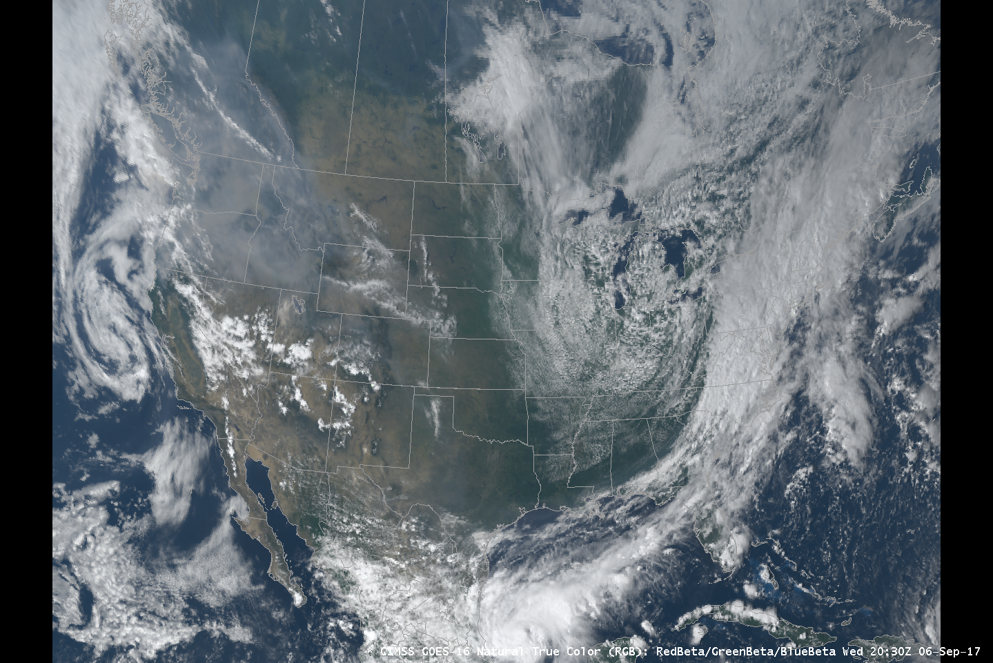
Dry weather over the Pacific Northwest (and over Idaho and Montana) has created an ideal environment lately for wildfires, and much of the region is shrouded in smoke from those fires as shown in the Suomi NPP True Color Imagery, above, from this site. Note the red points that are Suomi-NPP-detected fires; they persist from day to day, and some grow in size during the course of the animation. GOES-16 Animations of True Color (in this case, the CIMSS Natural True Color product that is created using Bands 1, 2 and 3 (0.47 µm, 0.64 µm and 0.86 µm, respectively)), below, (also available here; a similar product from CIRA is available here), show the pall of smoke as well. Air Quality Alerts from the National Weather Service were widespread on 6 September.

CIMSS Natural True Color, every 15 minutes, from 1400-2130 UTC on 6 September 2017 (Click to animate)
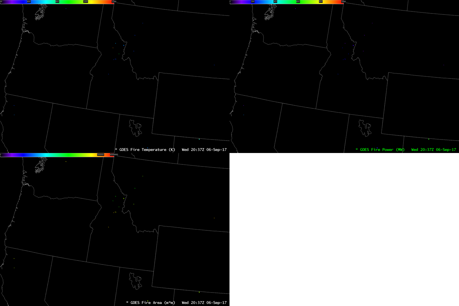
GOES-16 has multiple channels and products that can view both the Smoke and the Fires that produce the smoke. In addition to the visible imagery, Fire Products, below, can characterize the Temperature, Power (in megawatts) and area (in square meters) of the fire detected by GOES-16. On this day, clouds over the fires in Oregon mean that satellite detection is challenged, even though the by-product, smoke, is apparent. Fires over Idaho are readily apparent however. These fires were also detected by the 3.9 µm Shortwave Infrared channel on GOES-16, the traditional fire-detection channel (used in concert with 10.3 µm, the clean window channel). Imagery at 1.6 µm and 2.2 µm imagery can also be used to highlight hot fires; that will be the subject of a future blog post.

GOES-16 Fire Products: Fire Temperature, Fire Power and Fire Area, 2037 UTC on 6 September 2017 (Click to enlarge)
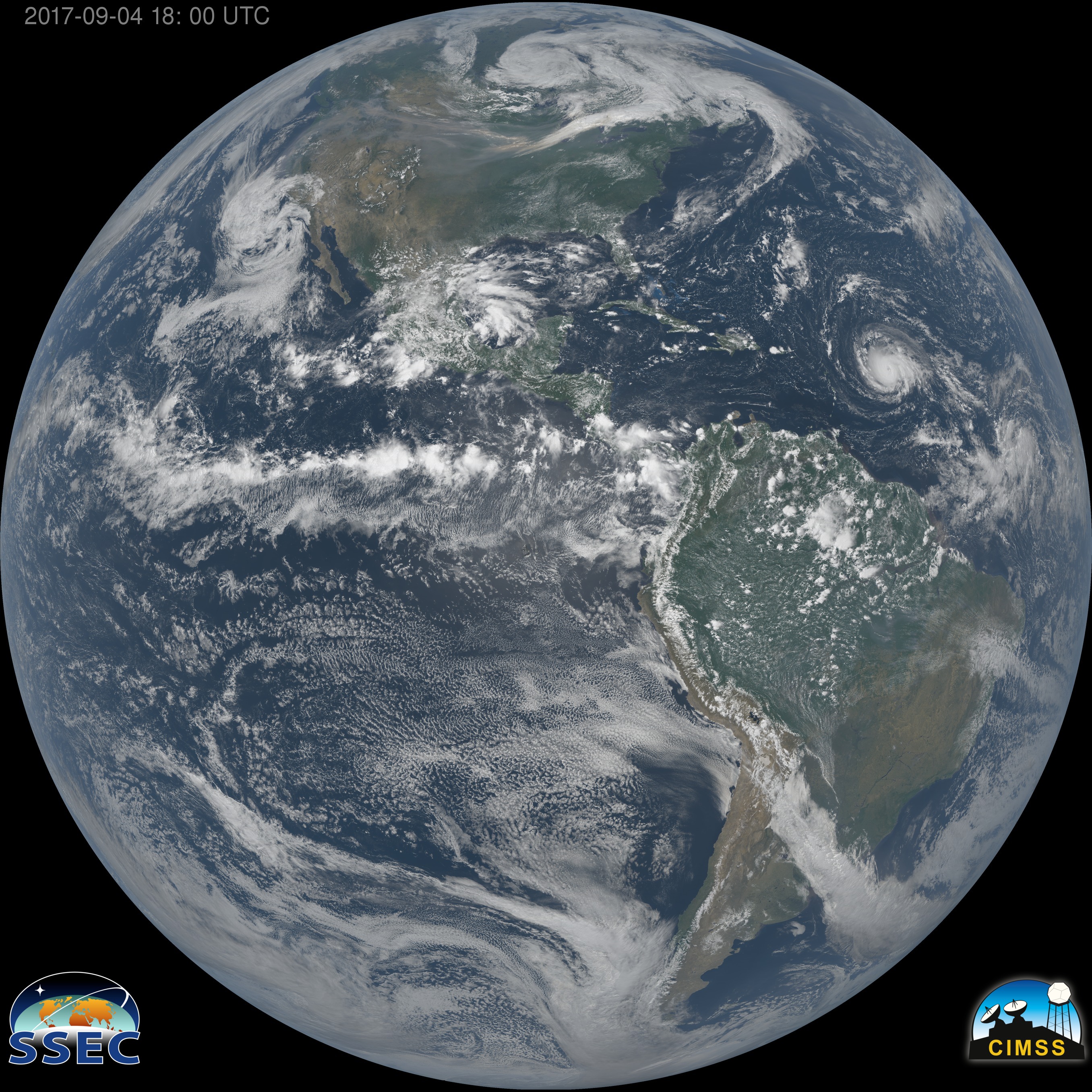
The mp4 animation, below, shows CIMSS Natural True Color over the Full Disk on 5 September 2017. The Full Disk View allows a better visualization of how the smoke is moving (and underscores how widespread it is) — and it shows Hurricane Irma as well.
NOAA creates many Smoke-related products, some of which are easily accessible at this link.


