Snowpack in the Sierras as seen by Terra and Aqua

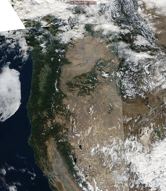
Terra or Aqua True-Color Images for dates in late November, 2007-2014 (Exact dates in small caption top center of images) (click to play animation)
MODIS True-Color imagery at SSEC‘s MODIS Today website includes daily data starting in late 2007. These images can provide a brief climatology for surface/atmospheric conditions. The animation above shows snowpack over the Sierras and the intermountain west for one day (either the 24th or 29th) in late November from 2007 through 2014. Snowcover was abundant in 2010 (Click here for the November 2010 San Francisco Climatograph), but most other Novembers show scant snowpack in the Sierras. The snowpack in 2014 is less extensive than in 2013 or 2012, but still more than in 2007.
================================================================================
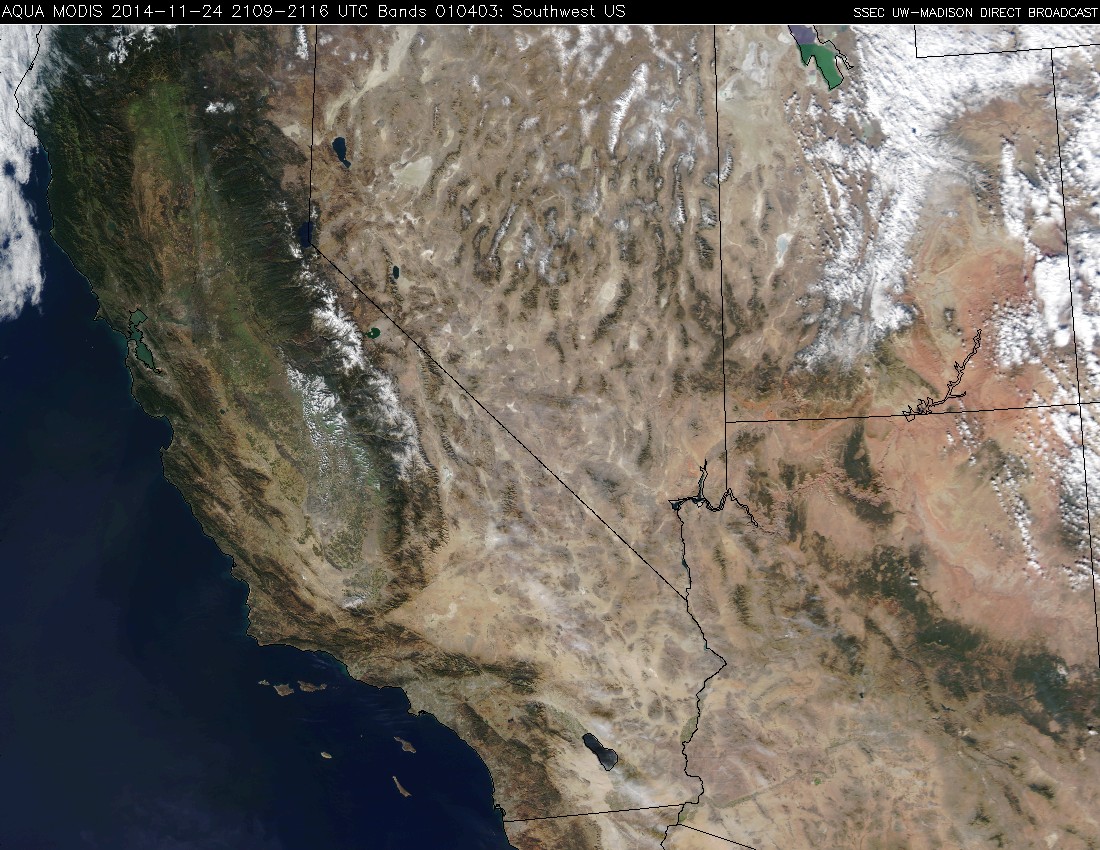
The MODIS Direct Broadcast website at CIMSS/SSEC also has true-color imagery, dating back to 2001. The animation above shows the Southwest US sectors that are available, with an image each year near the end of November. Again, late November 2010 is the snowiest; late 2014 is comparable to many years after 2006. The year with the least snowcover in late November is 2007.


