Flooding in Alberta, Canada
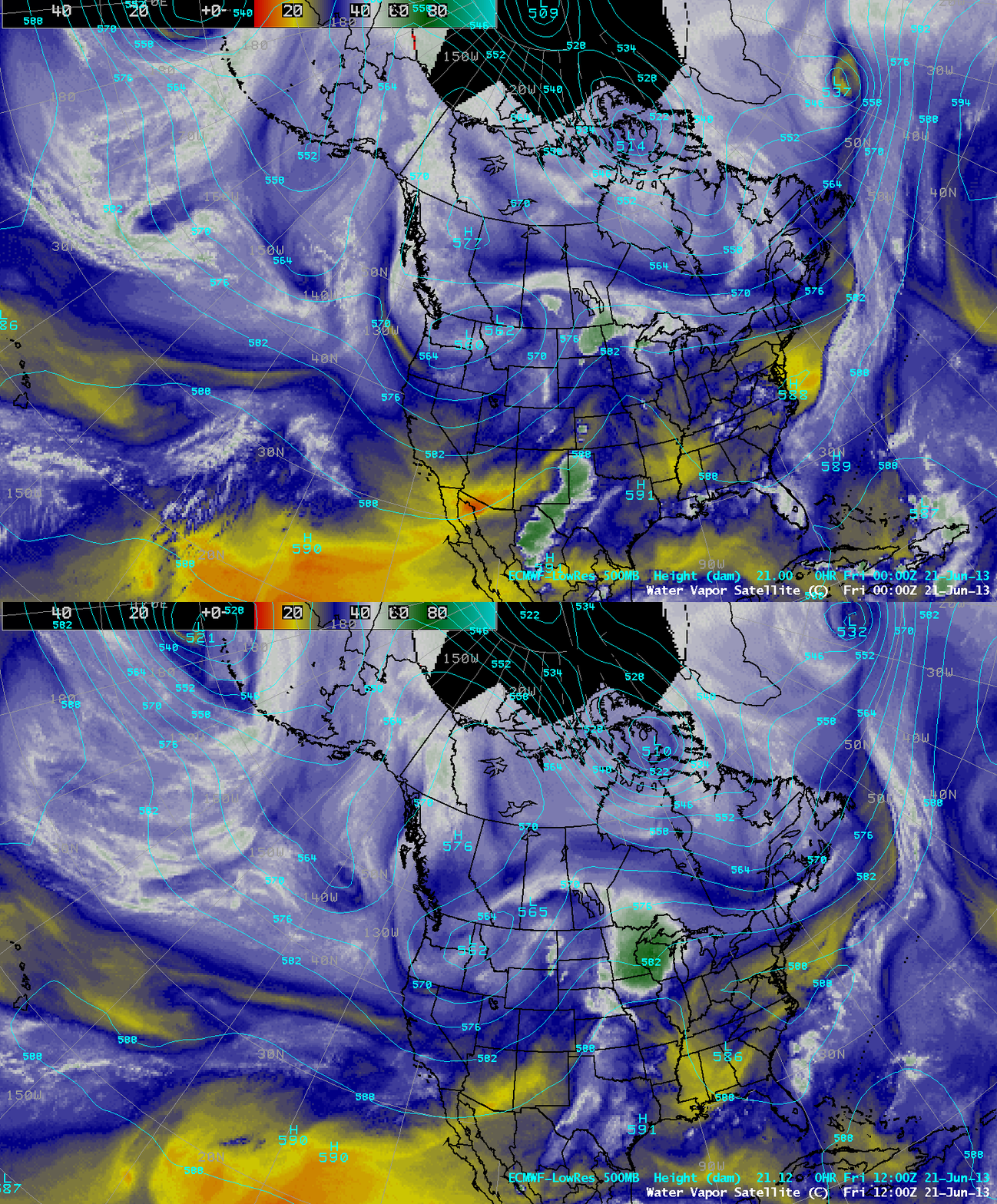
GOES-15 6.5 µm water vapor channel images with plots of surface weather (click image to play animation)
Very heavy rainfall in much of southwestern Alberta (upwards of 200 mm or 7.9 inches) caused severe flooding in the Calgary (YYC) area beginning on 19 June and 20 June 2013. A sequence of McIDAS images of hourly GOES-15 6.5 µm water vapor channel data (above; click image to play animation) showed three distinct pulses of moisture that moved across the YYC region during the 18 June – 21 June period. The circulation around an area of low pressure that was moving slowly across the northwestern US (below) allowed deep tropospheric moisture to be transported eastward against the high terrain of the Rocky Mountains, which was a factor in producing such heavy precipitation amounts.
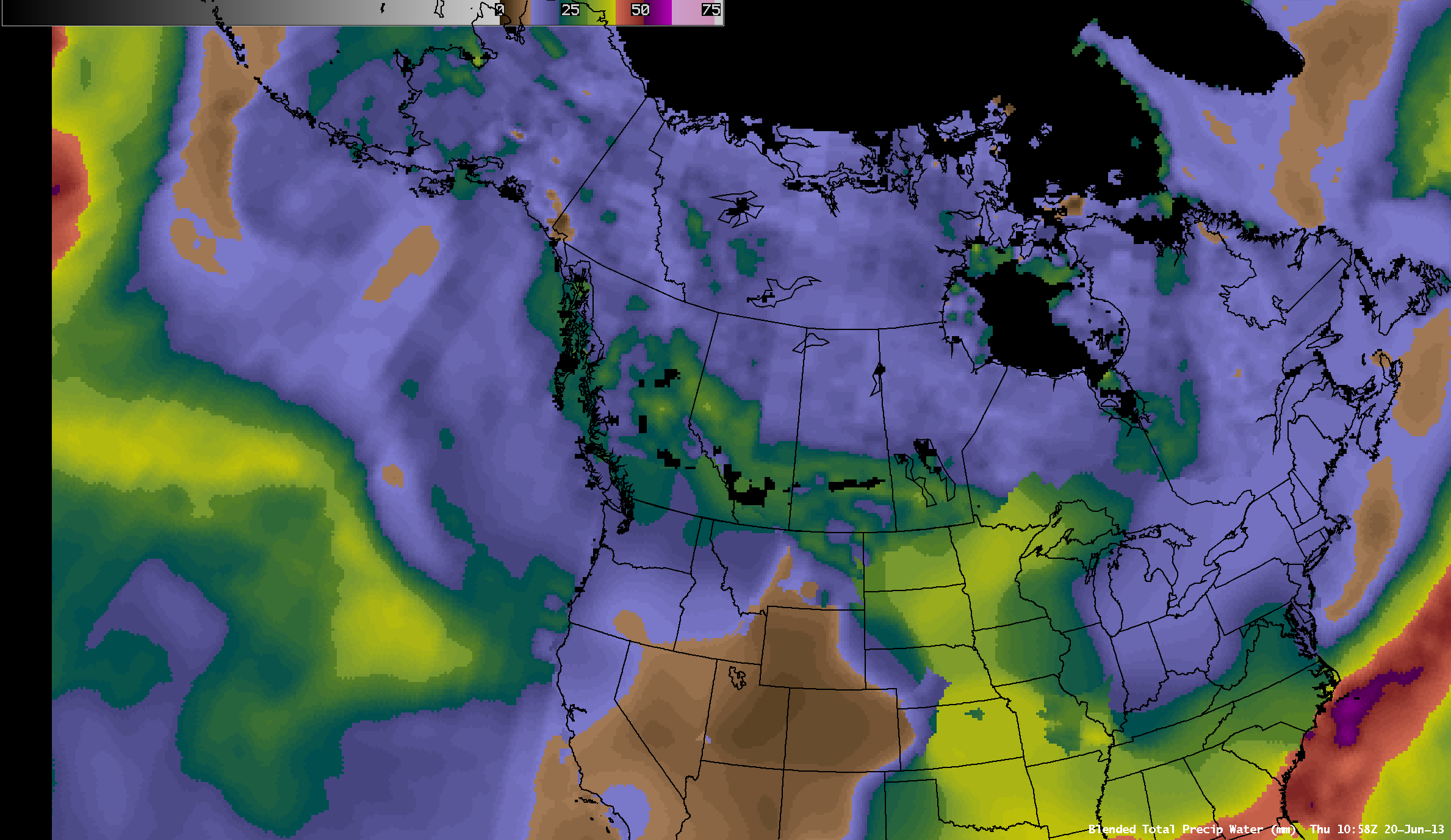
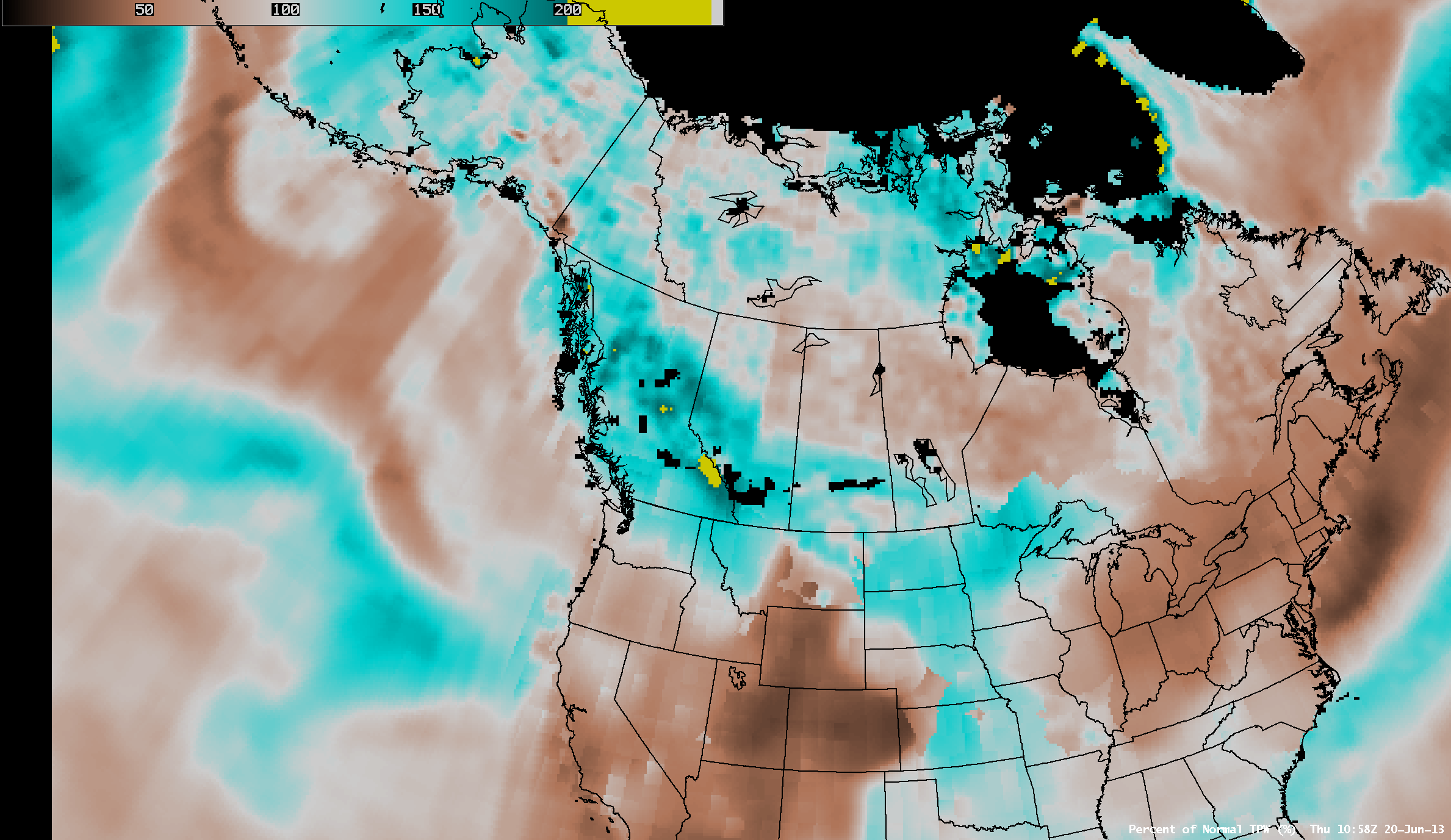
The Blended Total Precipitable Water product (above) showed TPW values as high as 31 mm or 1.2 inches over much of the region on the morning of 20 June — these TPW values were 190-200% above normal for this area and this time of the year (below).


