Auroral Display over very cold Canada

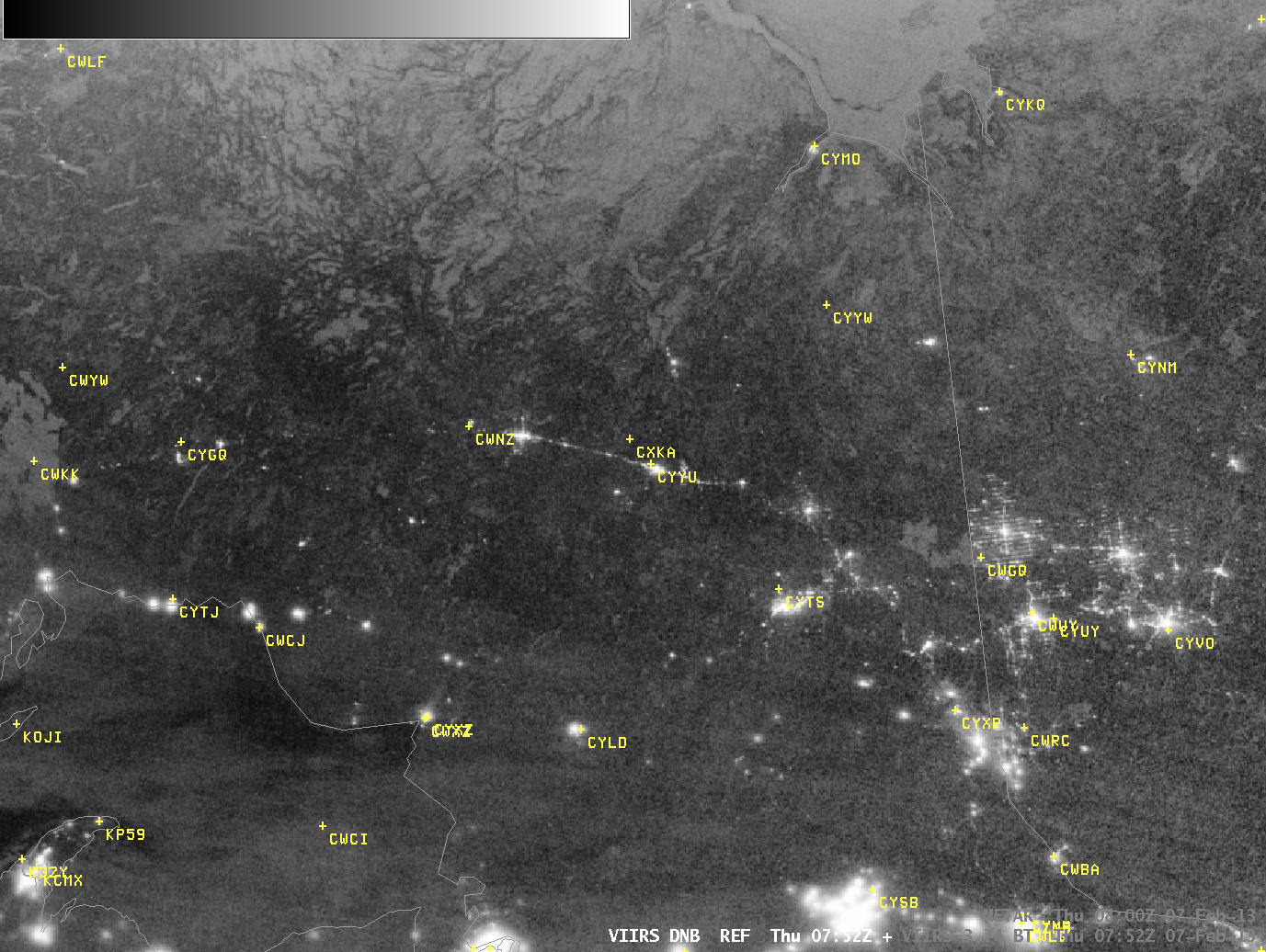
Suomi/NPP VIIRS Day/Night Visible Band and 3.74 µm infrared channel images (click image to play animation)
The Day/Night band on Suomi/NPP once again detected an extensive display of Aurora Borealis over northern Canada, as shown in the image toggle above. The Day/Night Band shows bright illumination over the northern halves of Quebec, Ontario and Manitoba. At the same time, near-infrared imagery at 3.74 µm shows very cold air, strongly suggestive of clear skies. The High Pressure responsible for the clear skies will influence the large snowstorm predicted to hit the Northeast United States on February 8th and 9th.
A magnified version of the imagery above, shown below, focuses on the area of Ontario between Lake Superior and James Bay. Highway 11, part of the TransCanada Highway, shows up as an thin strand of light. Airports near this Highway confirm the numbing cold depicted in the 3.74 µm imagery. There are a few relatively warm pixels near Kapuskasing (CYYU), however. Brightness temperatures are at -33 and -34 C rather than -38 to -40 C in the regions that are dark in the Day/Night band. Even a town of 9000 can have a thermal signature detectable from satellite.


