Smoke being drawn over the Gulf of Alaska, and ship tracks converging on the remnants of Hurricane Fabio
McIDAS images of 1-km resolution GOES-15 0.63 µm visible channel data (above) showed a large area of low pressure in the eastern Gulf of Alaska which was helping to draw a large amount of wildfire smoke southward on 19 July 2012. The hazy smoke aloft originated from wildfires in Alaska and in northeastern Asia.
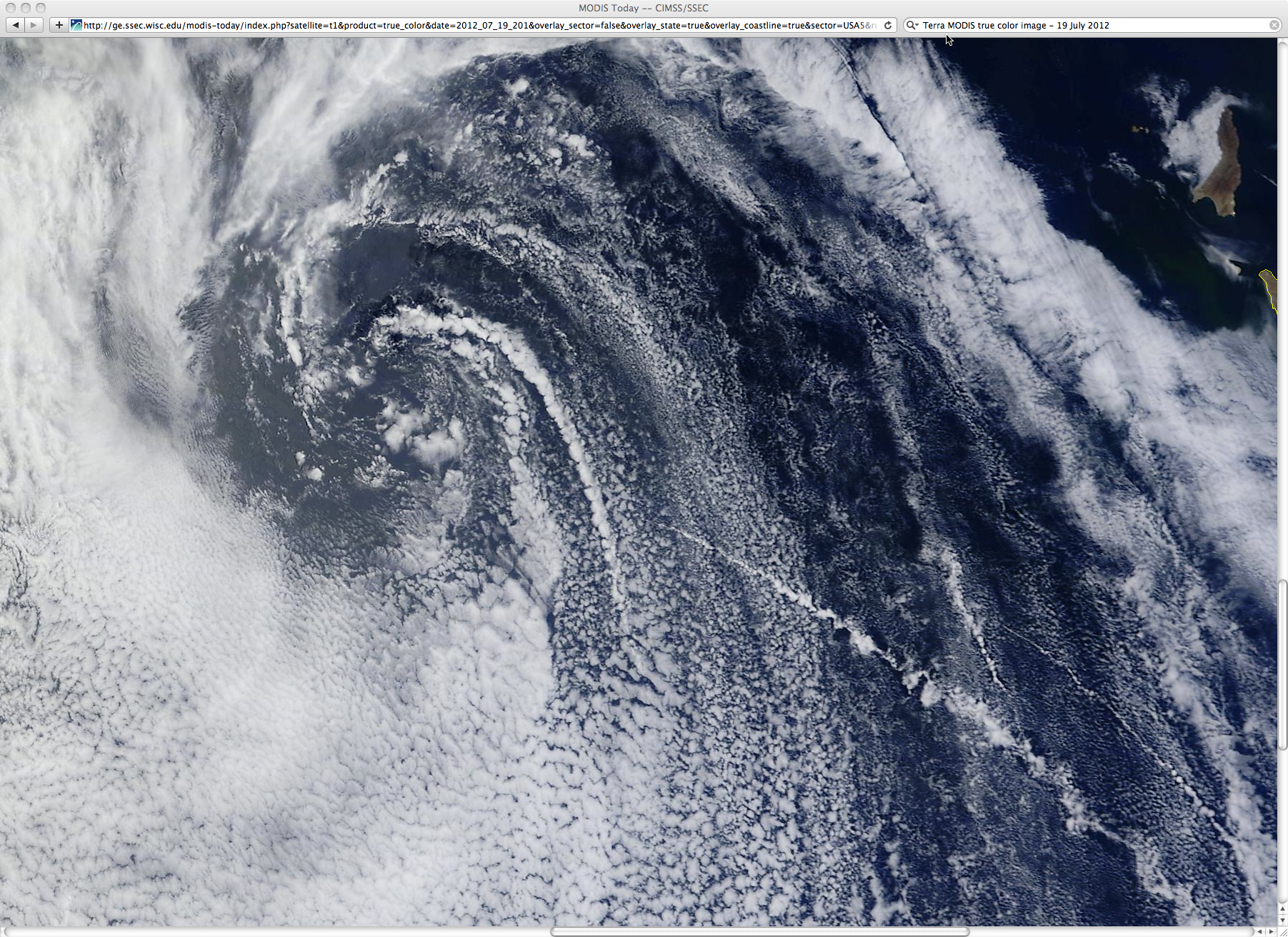
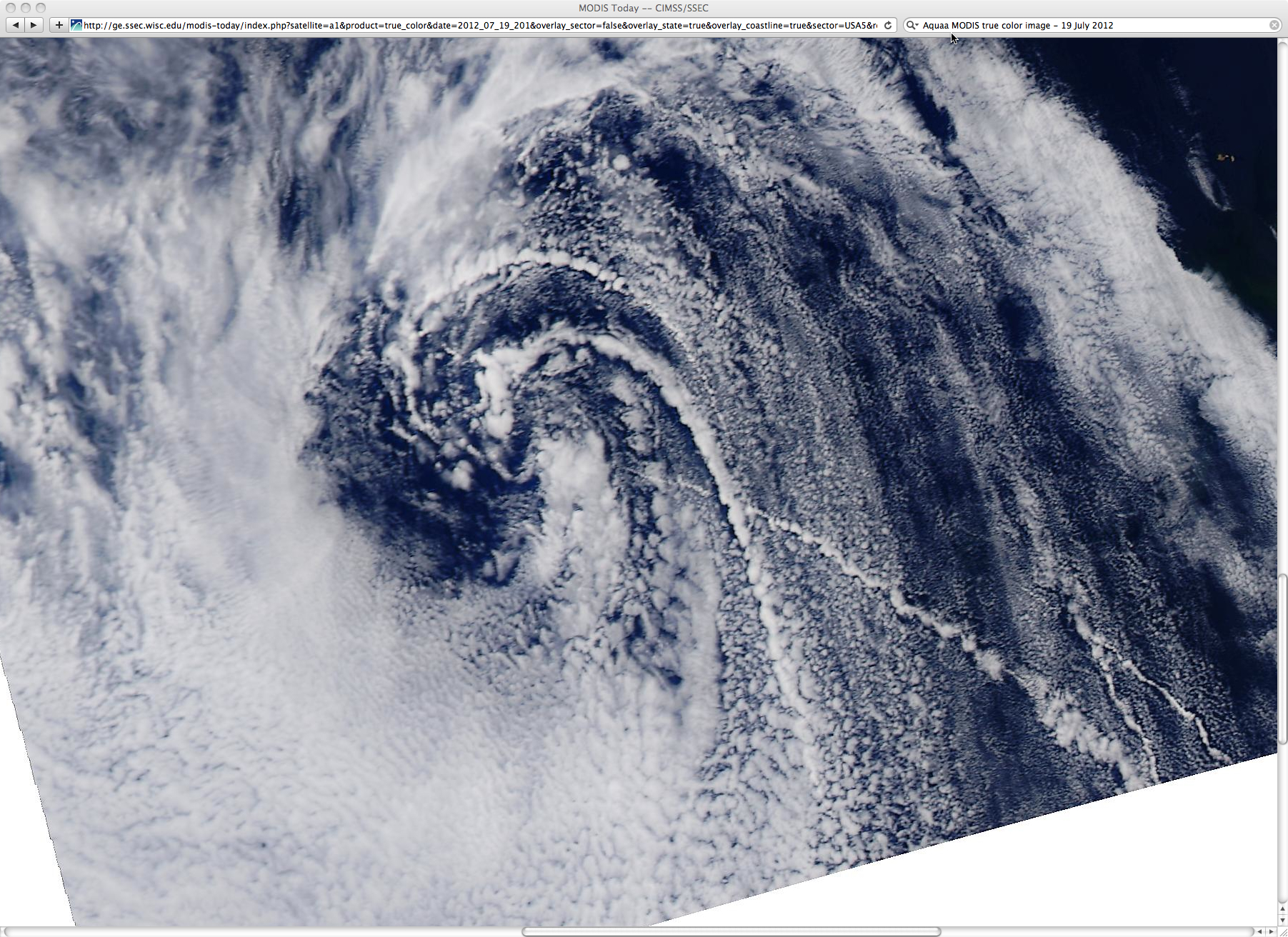
Meanwhile, farther to the south, 1-km resolution GOES-15 visible channel images (above; click image to play animation) revealed that the circulation of the remnants of Hurricane Fabio was drawing marine boundary layer “ship track” clouds into its circulation — while some ships actually appeared to be headed right for the center of the dissipating tropical cyclone.
The ship tracks were also evident on 4-km resolution GOES-15 3.9 µm shortwave IR images (below; click image to play animation). The ship tracks appeared darker (warmer) on the shortwave IR imagery, due to the fact that the smaller cloud droplets of the ship track clouds reflected a higher amount of incoming solar radiation back toward the satellite sensors.
250-meter resolution Terra and Aqua MODIS true-color Red/Green/Blue (RGB) images from the SSEC MODIS Today site (below) showed greater details of the ship tracks as they were drawn into the circulation center of the dying storm (along with the other ship tracks approaching the storm from the south).


