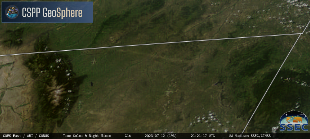
Hail damage swath in Wyoming
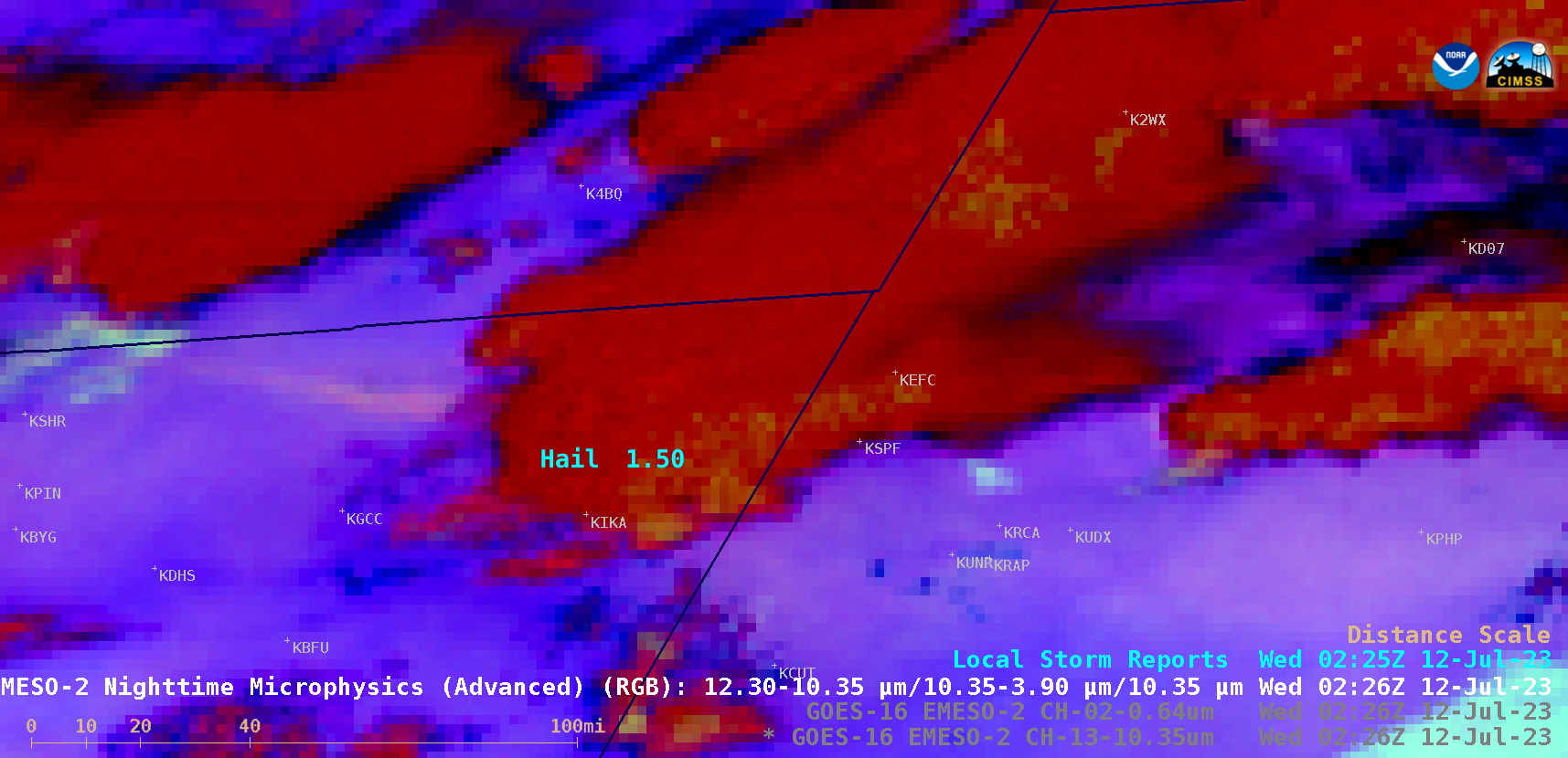
1-minute Mesoscale Domain Sector GOES-16 (GOES-East) Nighttime Microphysics RGB images (above) included plots of Local Storm Reports — which showed a thunderstorm that produced wind-driven hail as it moved across northeastern Wyoming during the late afternoon and evening hours on 11 July 2023. Note the long, narrow swath of colder surface temperature (shades of beige) in the wake of the thunderstorm, which was likely a signature of hail accumulation. Hail in Wyoming was as large as 2.50 inches in diameter, with wind gusts to 58 mph (SPC Storm Reports)..On the following day, GOES-16 True Color RGB images from the CSPP GeoSphere site (below) highlighted the NW-to-SE oriented hail damage swath — which showed up as lighter shades of tan (in contrast to the shades of green associated with healthy, undamaged vegetation and cropland).