Severe thunderstorms across the Deep South and Ohio Valley

GOES-16 “Red” Visible (0.64 µm) images, with time-matched SPC Storm Reports plotted in red [click to play animated GIF | MP4]
1-minute GOES-16 “Clean” Infrared Window (10.3 µm) images (below) indicated that the coldest pulsing overshooting tops associated many of the storms exhibited infrared brightness temperatures around -70ºC range (darker black enhancement). These thunderstorms produced numerous tornadoes (with multiple fatalities in Alabama and Georgia), hail up to 1.75 inches in diameter in Mississippi and Alabama, and damaging winds up to 67 mph in Alabama.

GOES-16 “Clean” Infrared Window (10.3 µm) images, with time-matched SPC Storm Reports plotted in blue [click to play animated GIF | MP4]
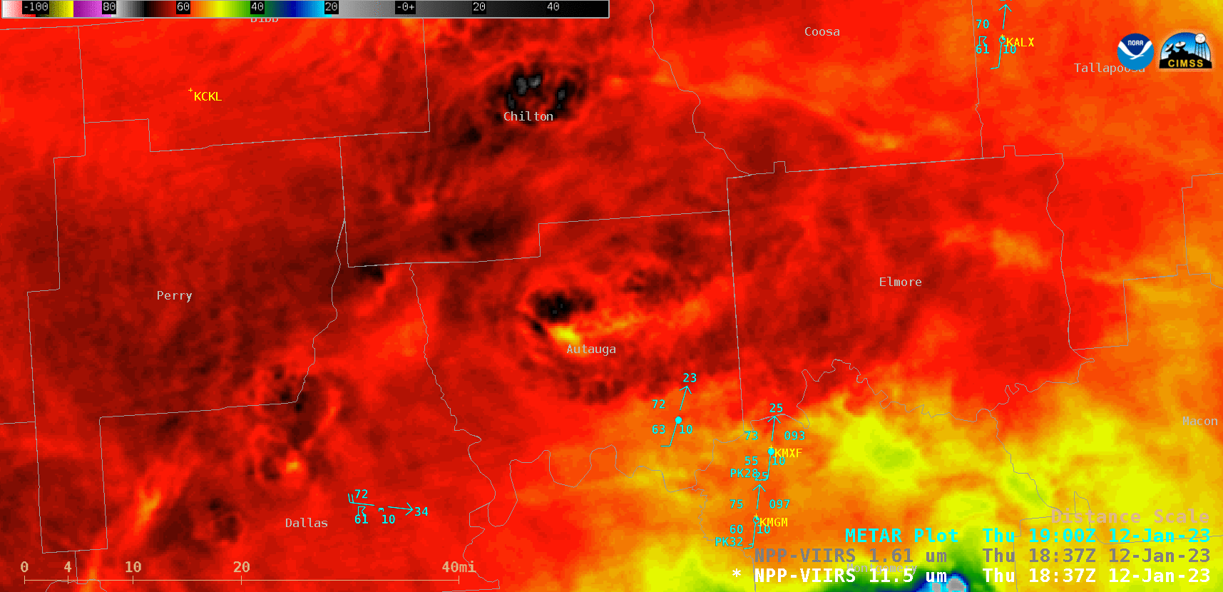
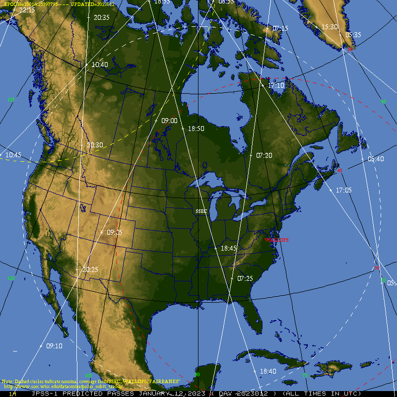
NOAA-20 VIIRS Infrared Window (11.45 µm) and Near-Infrared (1.61 µm) images valid at 1843 UTC, with plots of METAR surface reports and Cites [click to enlarge]
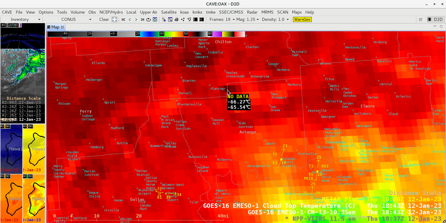
In addition, the cold / warm storm-top thermal couplet sensed by GOES-16 was -65ºC / -55ºC; the multispectral Cloud Top Temperature derived product values were only about 0.7ºC colder.
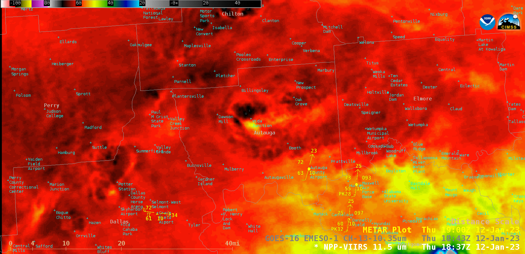
Infrared Window images from NOAA-20 VIIRS (11.45 µm) and GOES-16 ABI (10.3 µm), valid at 1843 UTC [click to enlarge]