Changes to Full Disk GOES-16 imagery in AWIPS

GOES-16 “Clean” Infrared Window (10.3 µm) images [click to play animated GIF | MP4]
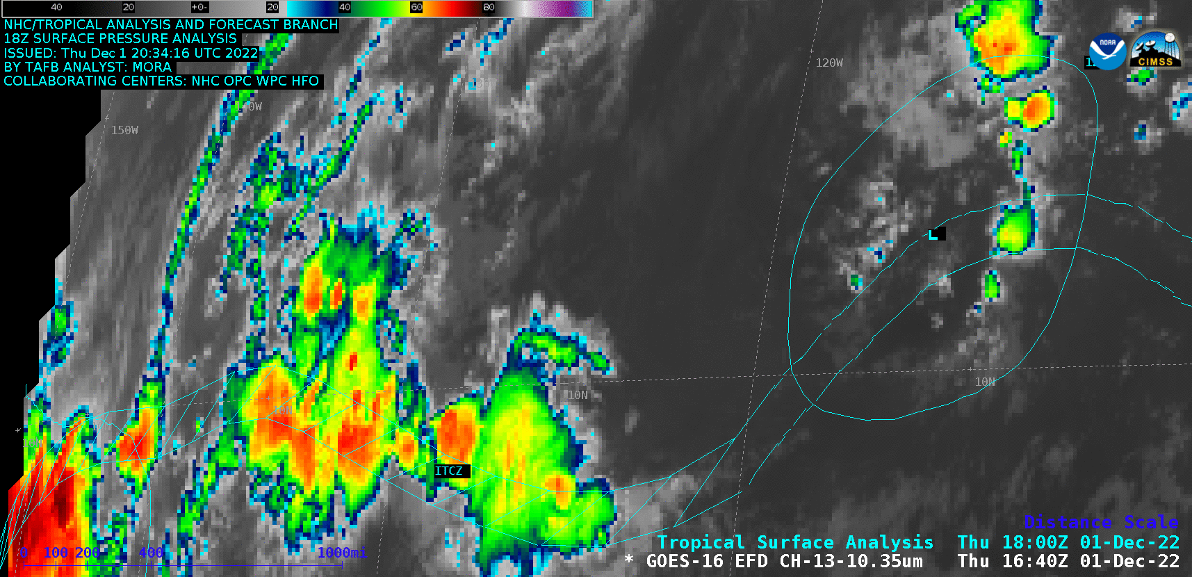
GOES-16 Infrared imagery in the tropics (below) displayed convection along the Intertropical Convergence Zone (ITCZ) in the East Pacific Ocean. A toggle between those “before” and “after” images is available here.
GOES-16 “Clean” Infrared Window (10.3 µm) images [click to play animated GIF | MP4]
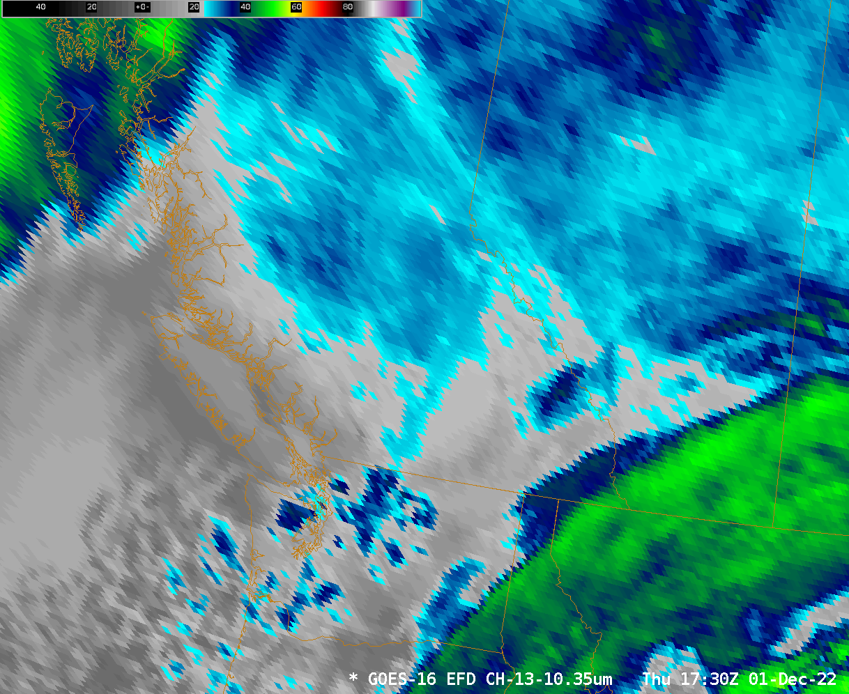
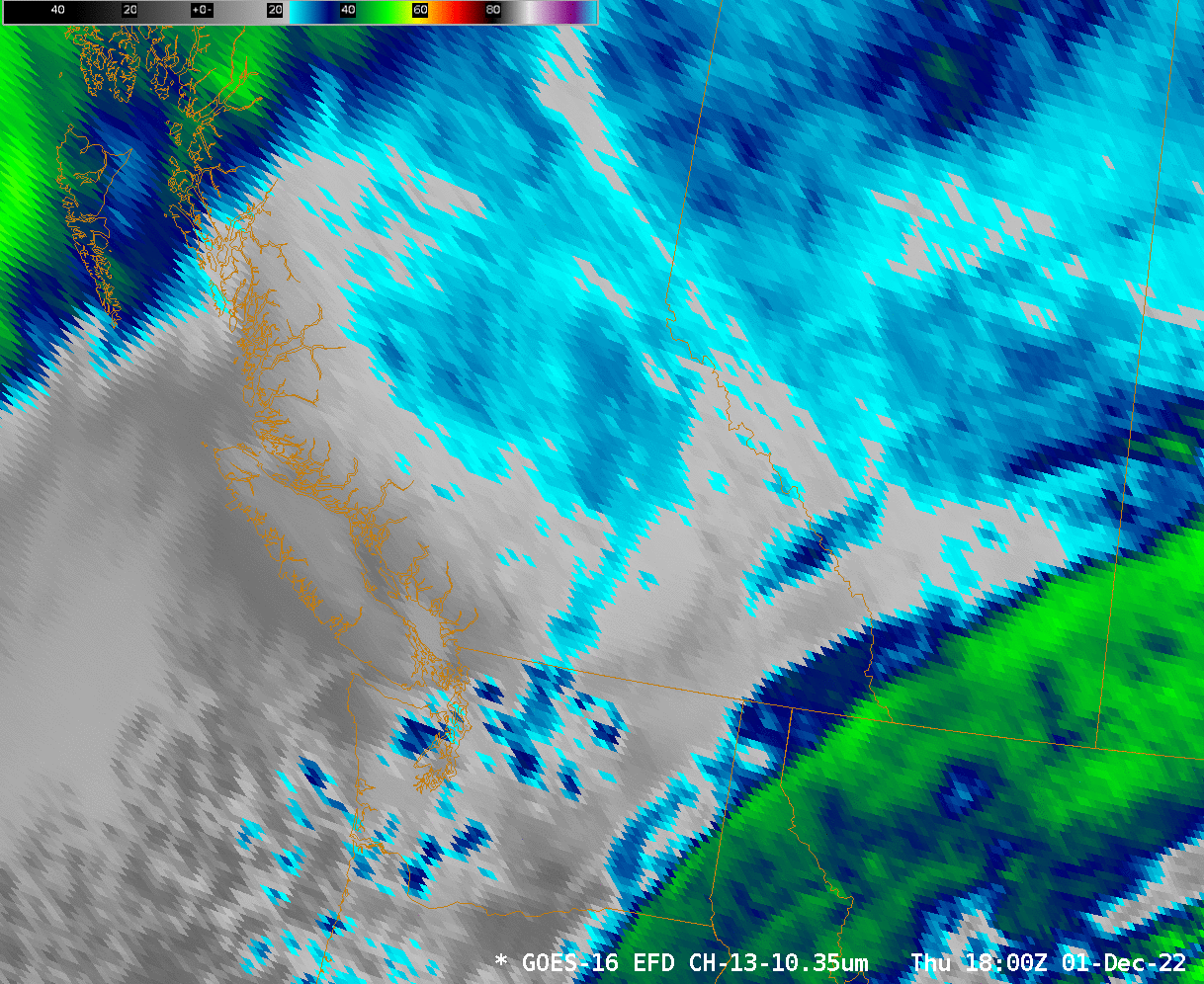
GOES-16 “Clean” Infrared Window (10.3 µm) images (credit: Tim Schmit, NOAA/NESDIS/ASPB) [click to enlarge]
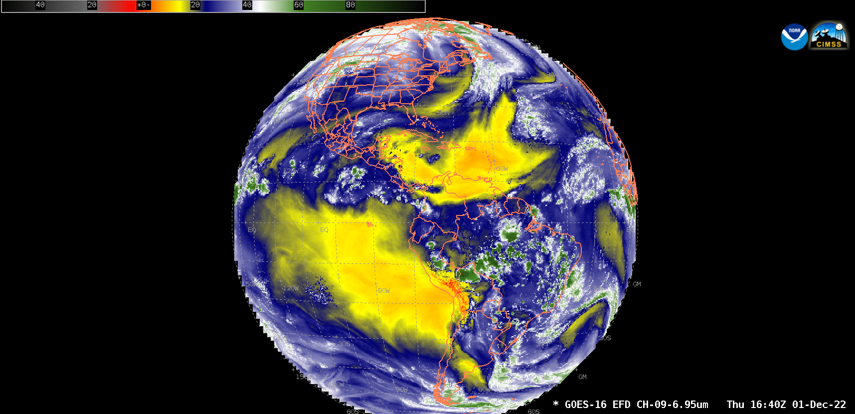
GOES-16 Mid-level Water Vapor (6.9 µm) images [click to play animated GIF | MP4]