Severe thunderstorms across the south-central US

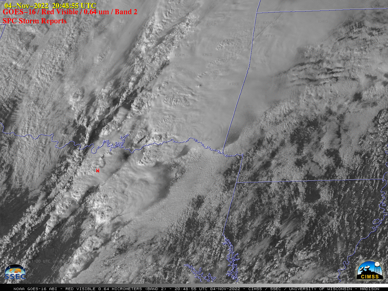
GOES-16 “Red” Visible (0.64 µm) images, with time-matched SPC Storm Reports plotted in red [click to play animated GIF | MP4]
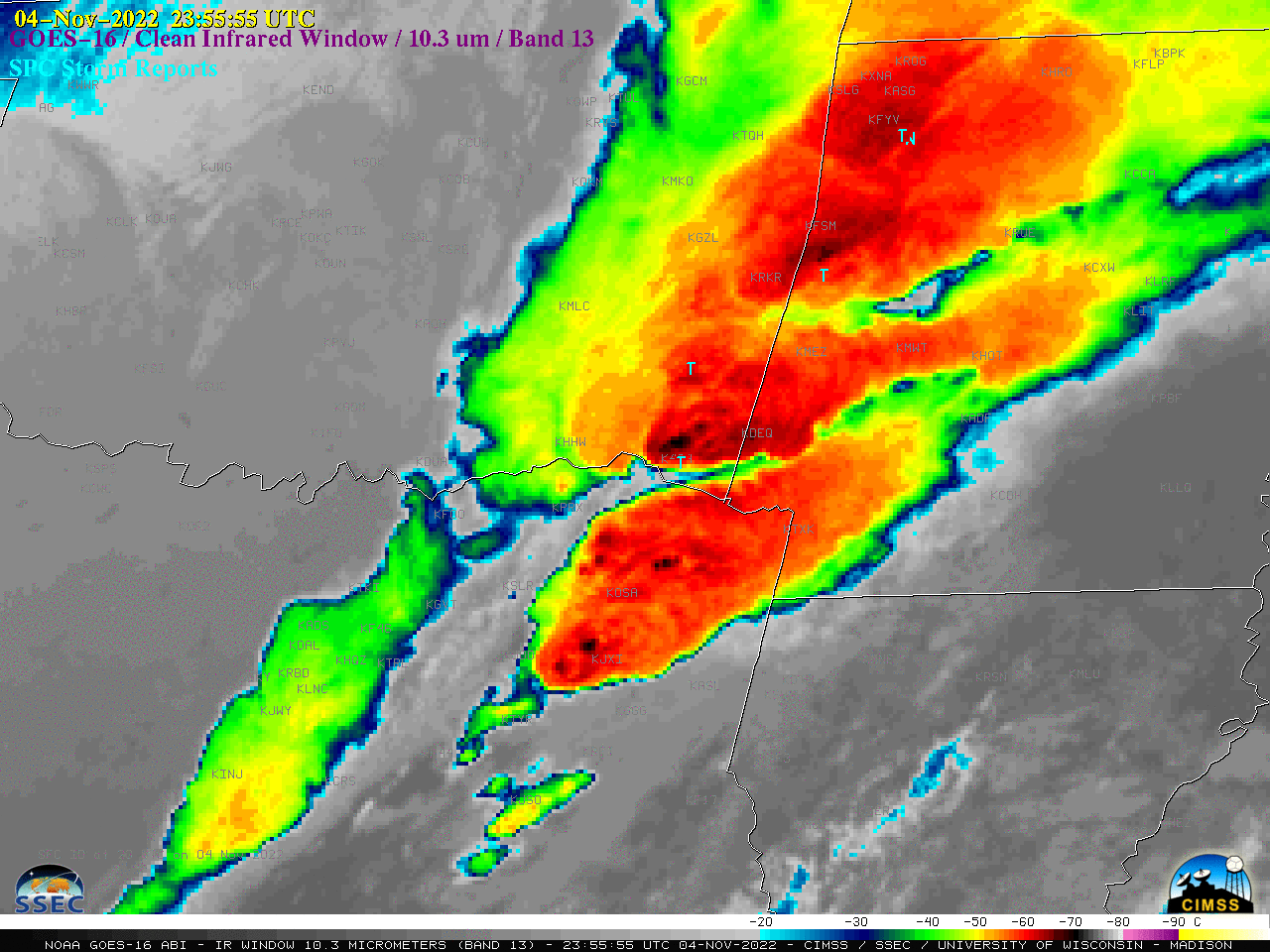
The corresponding 1-minute GOES-16 “Clean” Infrared Window (10.35 µm) images (below) continued for several hours past sunset — and indicated that the coldest pulsing overshooting tops exhibited infrared brightness temperatures in the -70 to -75ºC range (interior pixels having a darker black to lighter white enhancement). These storms produced hail up to 2.75 inches in diameter in Texas, and damaging winds up to 108 mph in Oklahoma — along with widespread tornadoes (with some resulting in fatalities). The EF-4 tornado which tracked from Red River County, TX to McCurtain County, OK was the first EF-4 tornado in NWS Shreveport’s County Warning Area since 29 November 2010, and the first Oklahoma EF-4 since 09 May 2016.

GOES-16 “Clean” Infrared Window (10.3 µm) images, with time-matched SPC Storm Reports plotted in cyan [click to play animated GIF | MP4]

