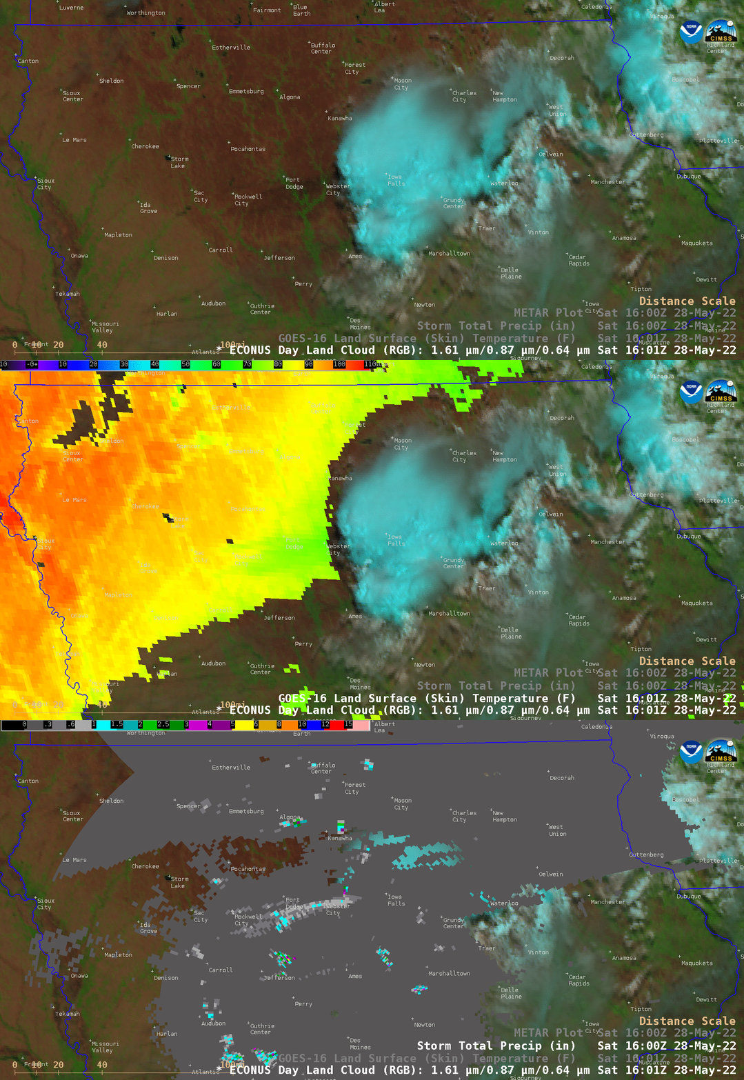
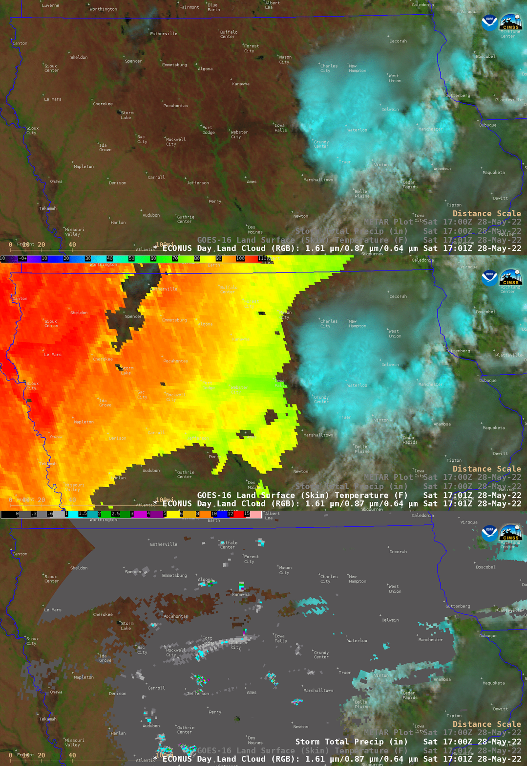
Swath of wet soil across central Iowa
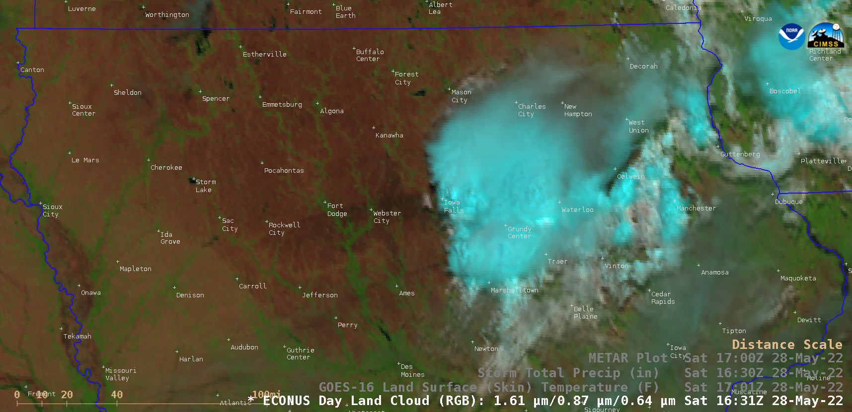
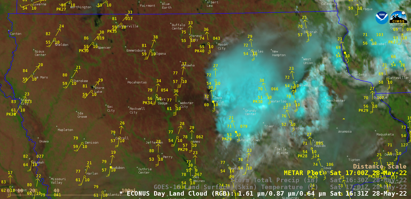
A sequence of GOES-16 (GOES-East) Day Land Cloud RGB images and radar-estimated Storm Total Precipitation (above) revealed a west-to-east oriented swath of wet soil (darker shades of brown) created by thunderstorms that moved across central Iowa on 28 May 2022. Radar-estimated precipitation associated with the swath was generally 1 inch or less.Given the fairly light precipitation amounts, the swath of wet soil dried rather quickly due to warm and windy conditions across the area (below).
Comparisons of GOES-16 Day Land Cloud RGB, Land Surface Temperature (LST) and radar-estimated Storm Total Precipitation at 1601 UTC and 1701 UTC (below) showed that the swath of moist soil exhibited LST values in the upper 60s to low 70s F (shades of green), in contrast to upper 80s to low 90s F (shades of orange) across adjacent areas of dry soil.