Mid-Atlantic and Northeast US winter storm

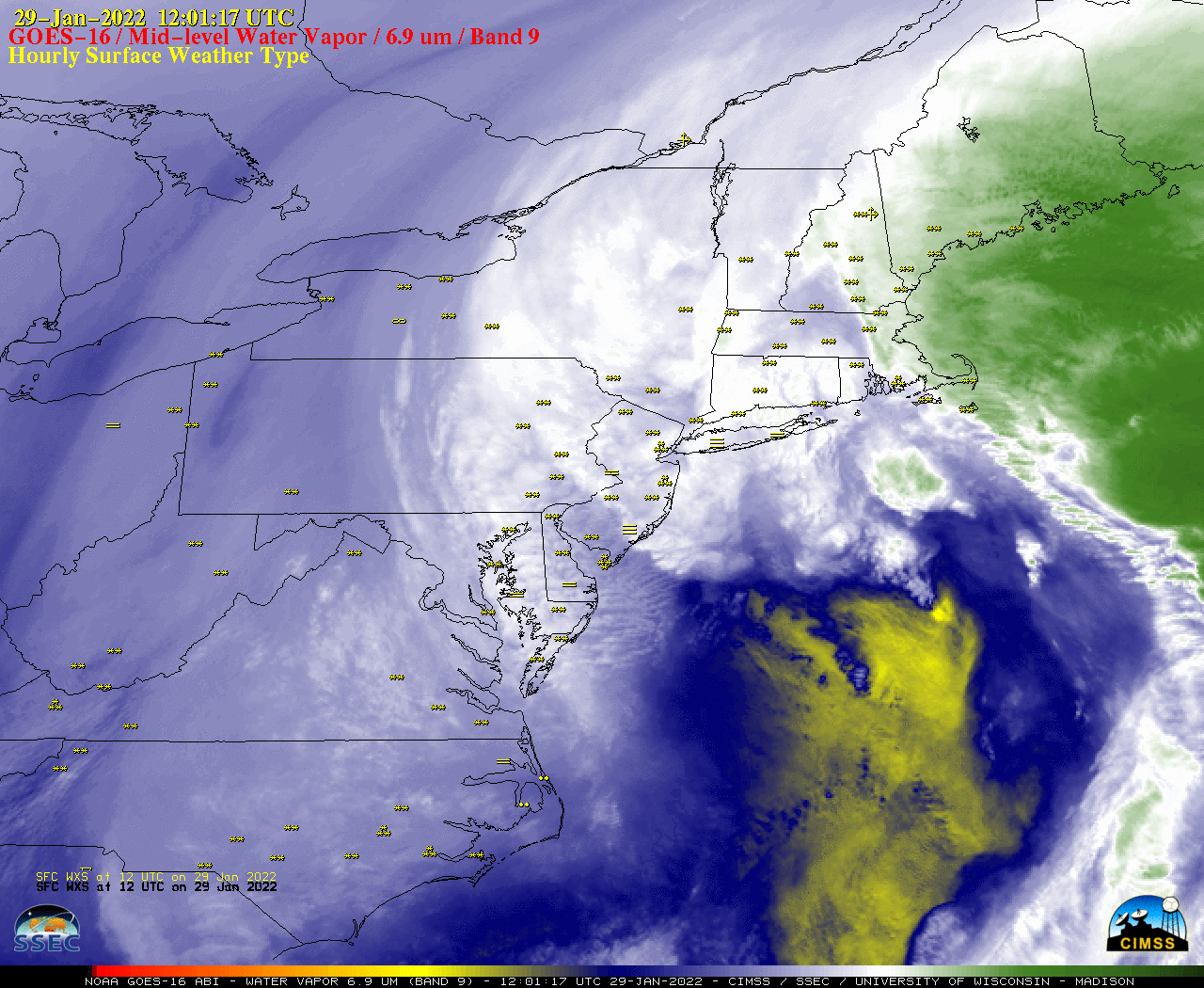
GOES-16 Mid-level Water Vapor (6.9 µm) images, with hourly surface weather type plotted in yellow [click to play animated GIF | MP4]
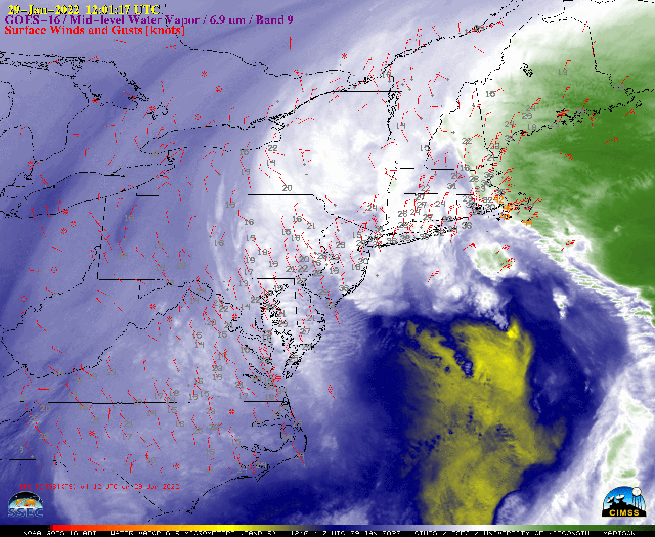
GOES-16 Water Vapor images with hourly plots of wind barbs and gusts (below) showed that the highest wind gusts occurred near the New England coast.

GOES-16 Mid-level Water Vapor (6.9 µm) images, with hourly surface wind barbs plotted in red [click to play animated GIF | MP4]

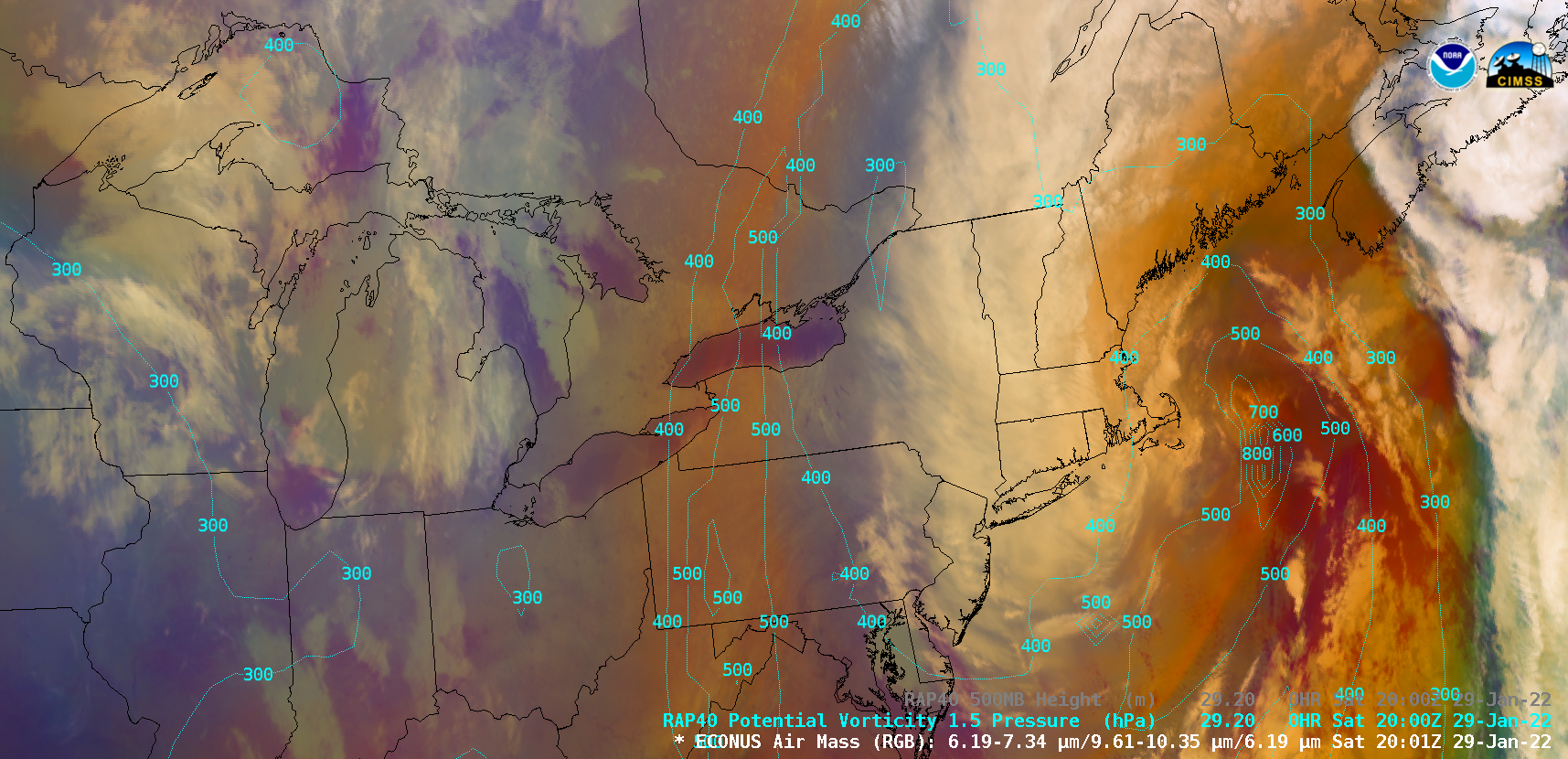
GOES-16 Air Mass RGB images, with contours of RAP40 model PV1.5 pressure plotted in cyan [click to play animated GIF | MP4]

