Severe thunderstorms in the Southern Plains

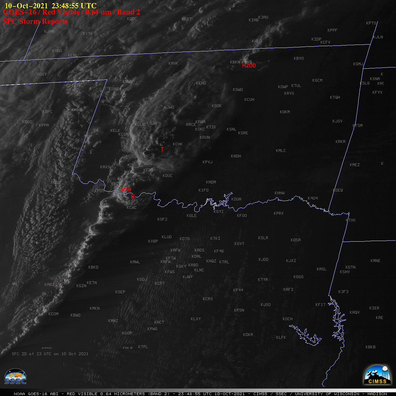
GOES-16 “Red” Visible (0.64 µm) images, with SPC Storm Reports plotted in red [click to play animation | MP4]
1–minute Mesoscale Domain Sector GOES-16 (GOES-East) “Red” Visible (0.64 µm) images (above) include time-matched plots of SPC Storm Reports produced by supercell thunderstorms that moved eastward across Oklahoma and Texas late in the day on 10 October 2021. These storms developed along and ahead of a strong cold front — and in Texas the hazy signature of post-frontal blowing dust was evident immediately behind the western edge of the convective cloud line.
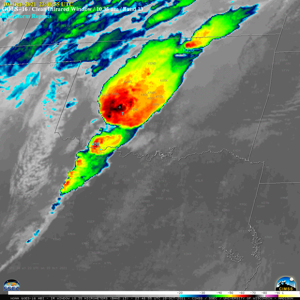
GOES-16 “Clean” Infrared Window (10.35 µm) images (below) revealed pulsing overshooting tops that exhibited infrared brightness temperatures in the -70 to -75ºC range (shades of white embedded within dark black pixels).

GOES-16 “Clean” Infrared Window (10.35 µm) images, with SPC Storm Reports plotted in cyan [click to play animation | MP4]

