Tropical disturbance off the US Southeast Coast
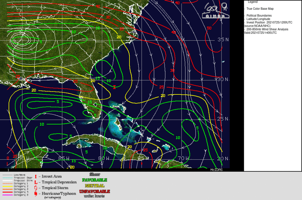
The National Hurricane Center is monitoring an area of disturbed weather over the western Atlantic, to the north of the Bahamas and south of Cape Hatteras. The three-hour animation from the CSPP GeoSphere site (link, above), shows convection and a small low-level cyclonic circulation. This system is drifting to the east, towards Florida, and is in an environment of small values of vertical wind shear (the analysis below is from the CIMSS Tropical Weather Site) that could augur further development. Refer to the pages of the National Hurricane Center for more information.

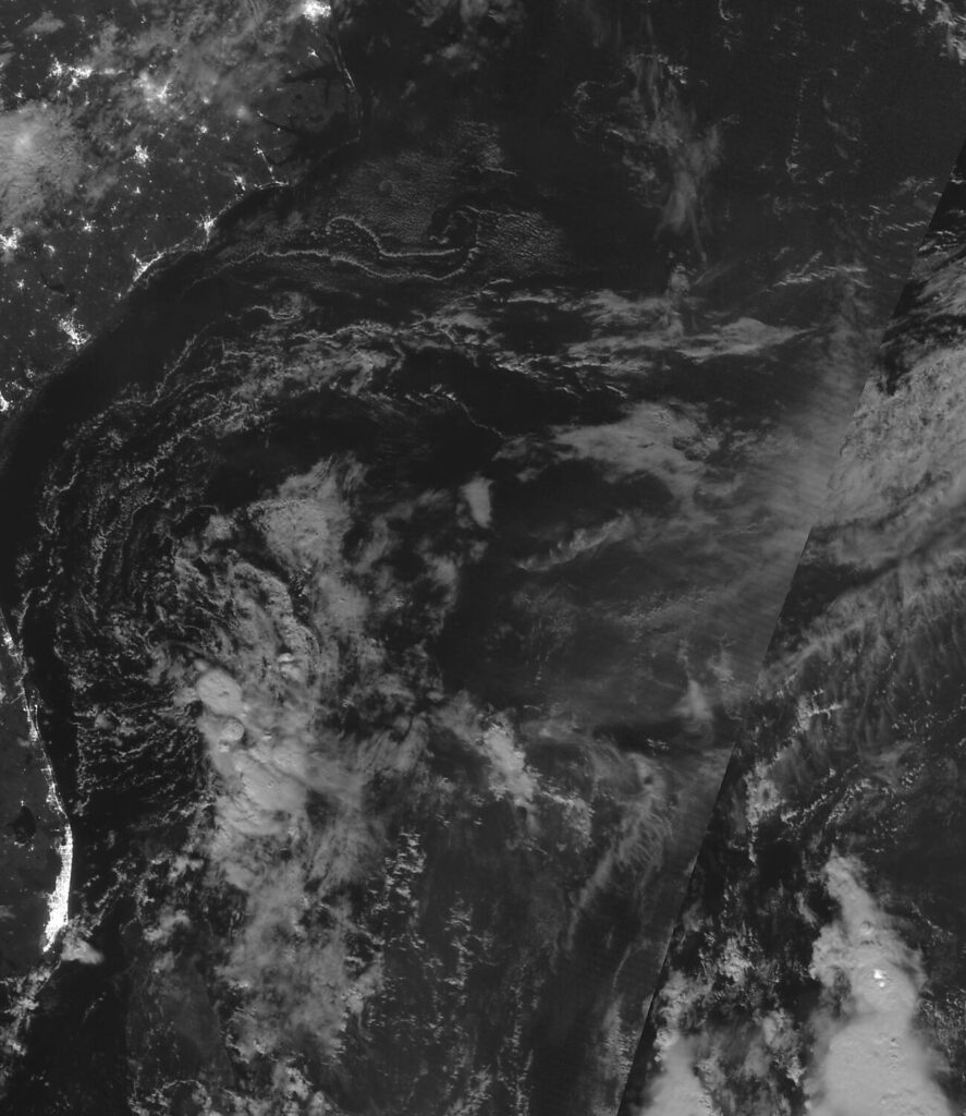
The Day Night Band image from Suomi NPP, below, from the early morning of 25 July 2021, (from the VIIRS Today website) shows the storm under the waning Buck Full Moon. Compare that to the NOAA-20 Day Night Band image from 24 July, the night before (link): the amount of convection decreased between 24 and 25 July.

On the morning of 26 July 2021, the disturbance is moving into Florida/Georgia. Convection associated with the system is not over its center. (CSPP Geosphere link)

