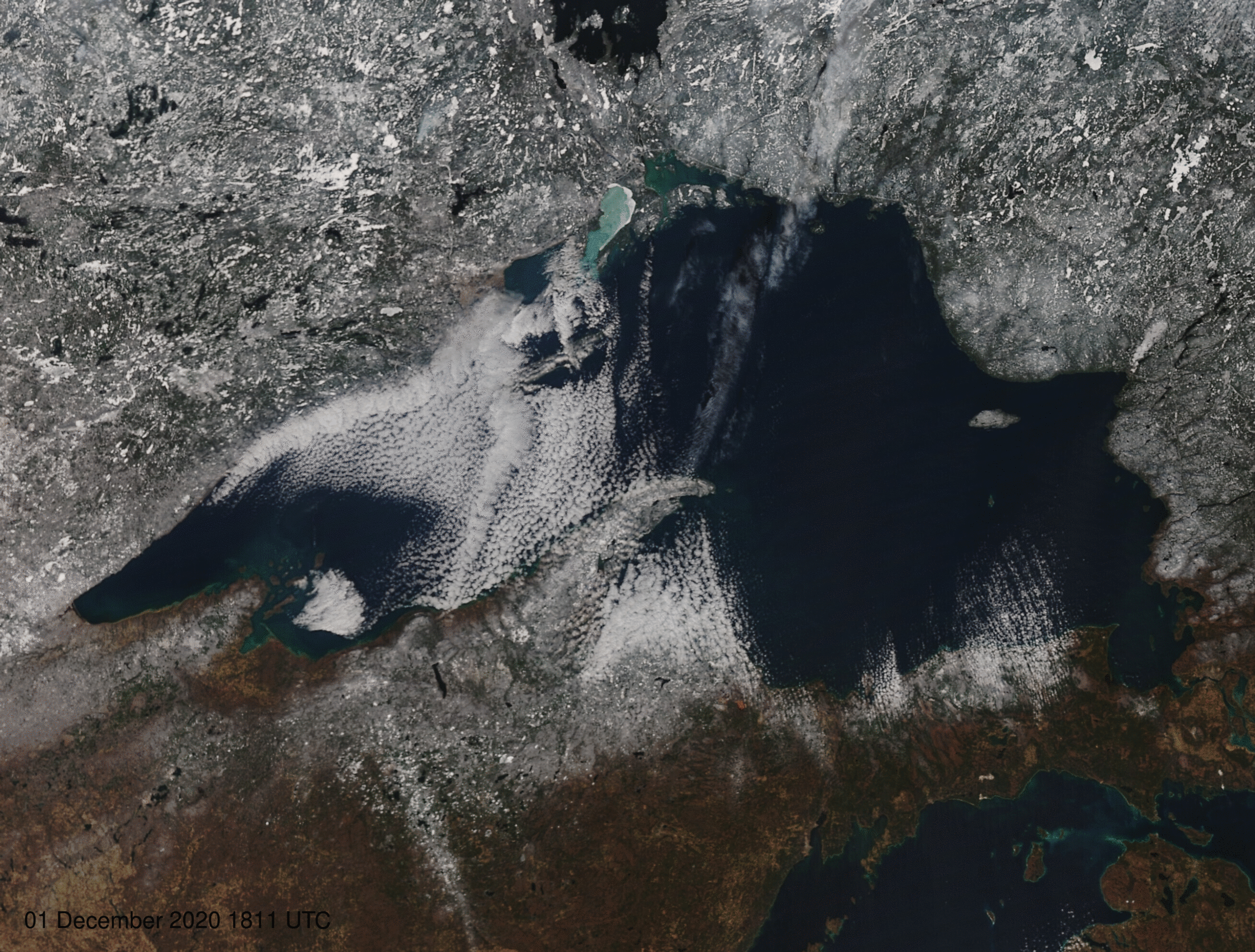
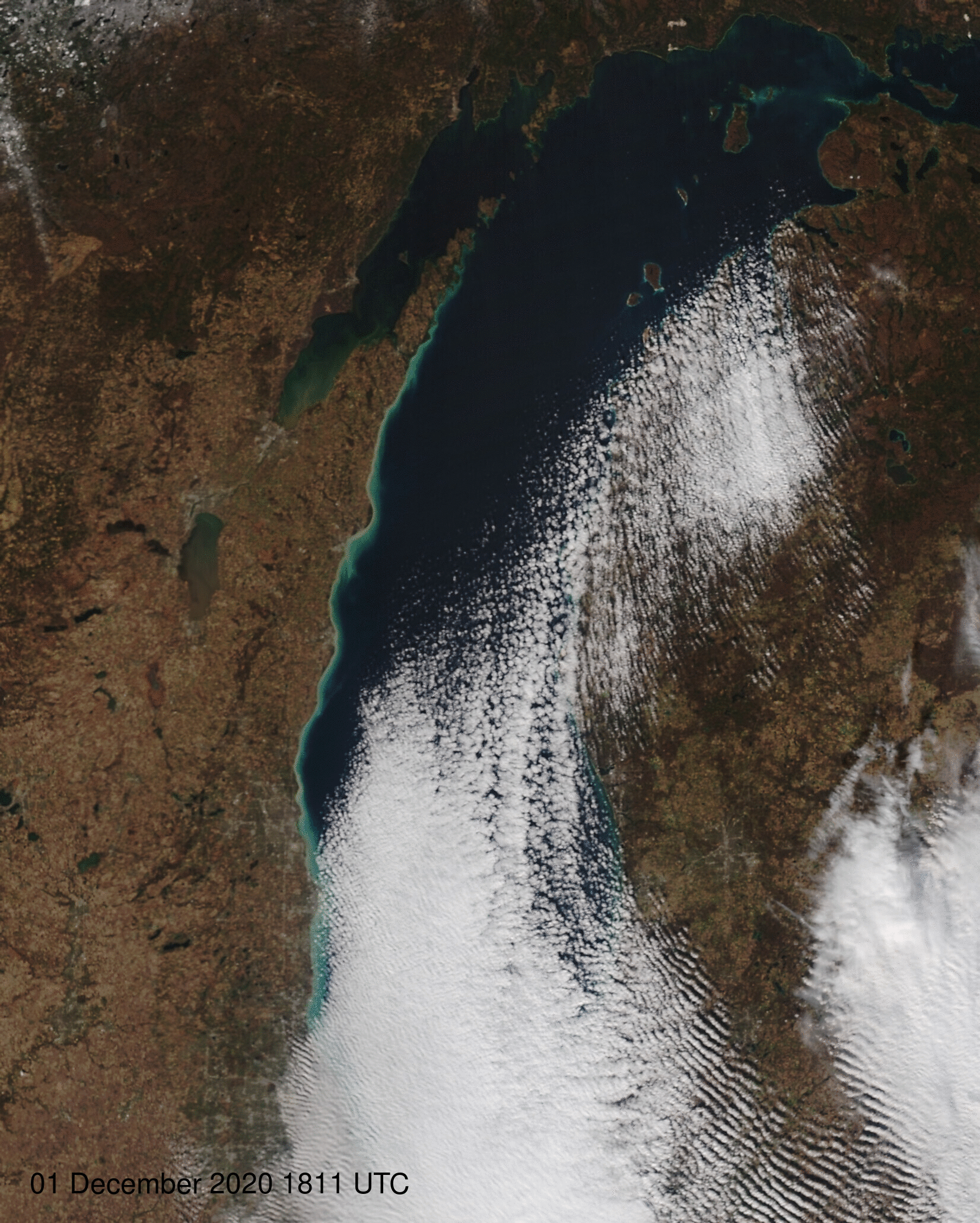
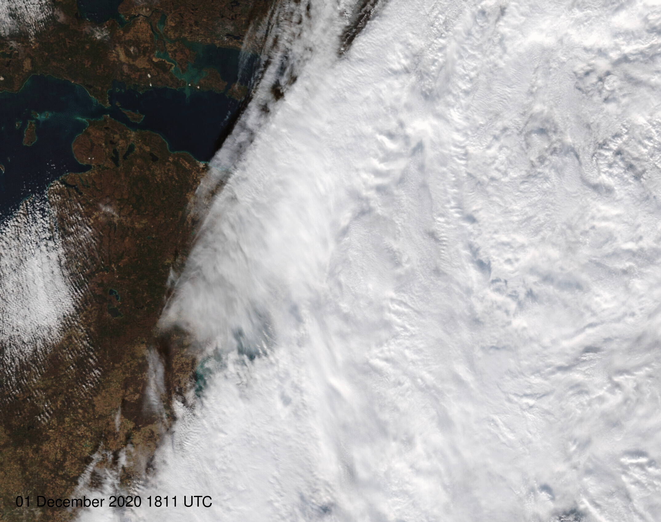
NOAA-20 VIIRS views of the Great Lakes in December 2020

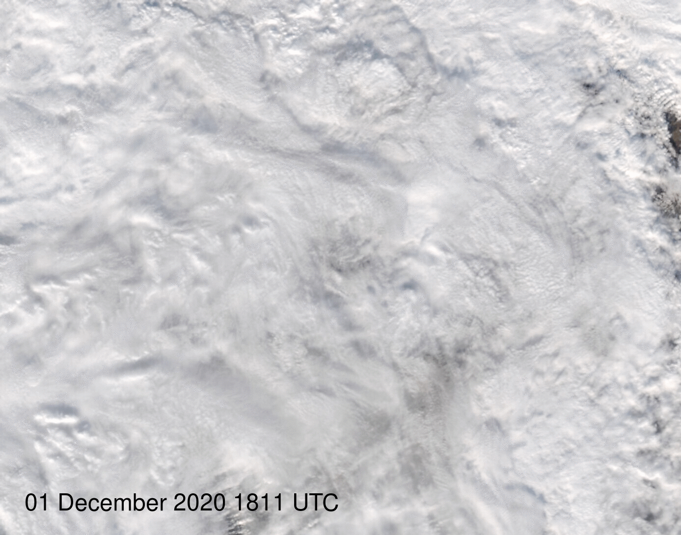
Daily NOAA-20 VIIRS True-Color images over Lake Superior (times as indicated in the captions). Click to animate
As noted here, the ftp site that holds imagery from the CIMSS/SSEC Direct Broadcast site (link) includes daytime True-Color imagery (spectacular imagery!) derived from the NOAA-20 and Suomi-NPP VIIRS instrument. Daily sectorized views of each of the Great Lakes are created, and these can be strung together, as in this web post, to show the changes around the Great Lakes during the month of December. The animation above shows the changes over Lake Superior during December. (Click here to view an mp4 animation rather than the very large animated gif).
The toggle below compares the view over/around Lake Superior on 1 and 31 December 2020. The increase in snowcover is apparent. Ice does not appear widespread on Lake Superior however. The 31 December 2020 Lake Ice Analysis (image available here) from the Great Lakes Environmental Research Lab (GLERL) (source, from here), shows little ice. The MIRS Lake Ice Concentration (shown at bottom, available via an LDM feed from CIMSS), similarly shows little ice in the Lakes.
NOAA-20 VIIRS True Color imagery over Lake Superior, 1 and 31 December 2020 (Click to enlarge)
Animations similar to Lake Superior’s can be accessed in this webpost as mp4s: (Lake Michigan, Lake Huron, Lake Erie, Lake Ontario) or as animated gifs (Lake Michigan, Lake Huron, Lake Erie, Lake Ontario).
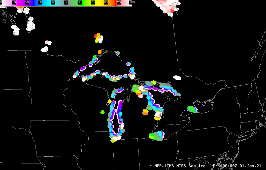
MIRS estimates of Lake Ice, from ATMS on Suomi-NPP, 0800 UTC on 1 January 2021