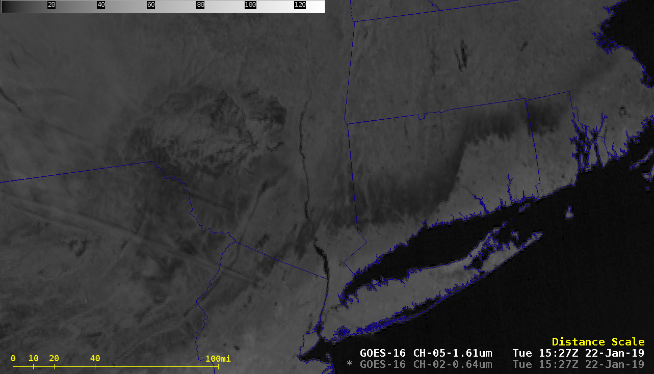
Ice accrual from freezing rain/drizzle in the Northeast US

GOES-16 “Red” Visible (0.64 µm) and Near-Infrared “Snow/Ice” (1.61 µm) images [click to play animation | MP4]
A closer view using NOAA-20 VIIRS Visible (0.64 µm) and Near-Infrared “Snow/Ice” (1.61 µm) images at 1708 UTC is shown below (note: the NOAA-20 VIIRS image is incorrectly labeled as Suomi NPP). Ice accrued in thicknesses up to 0.60 inch at Meridan in central Connecticut and 0.40 inch at Newburgh in far eastern New York.


![NOAA-20 VIIRS Visible (0.64 µm) and Near-Infrared "Snow/Ice" (1.61 µm) images [click to enlarge]](https://cimss.ssec.wisc.edu/satellite-blog/wp-content/uploads/sites/5/2019/01/190122_1708utc_noaa20_viirs_visible_snowIce_CT_RI_ice_accretion_anim.gif)