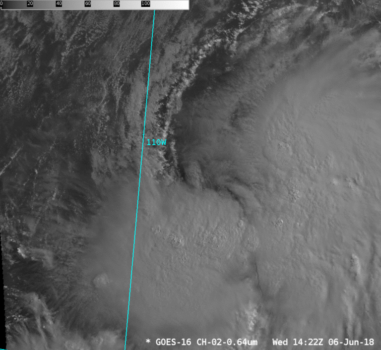
Why Mesoscale Sectors matter: Tropical Storm Aletta
The first Tropical Storm, Aletta, of the eastern Pacific Ocean basin has been named. One-minute imagery from a moveable Mesoscale Sector, above as an animated gif (or here as an mp4), shows a distinct low-or mid-level circulation center moving out from under higher clouds in the northeast quadrant of the storm at about 1621 UTC, being even more obvious at 1636 UTC.
The GOES-16 CONUS Sector scans at 5-minute intervals. The southern boundary of the CONUS sector (15º N Latitude), however, bisects this tropical storm, as shown at this link, and is therefore unhelpful for center diagnostics. Full Disk imagery captures the storm evolution at a 15-minute time step that is too coarse to provide a smooth animation. (Just two years ago, the time resolution for this storm formation would have been every 3 hours, as that was the time cadence for a Full Disk from GOES-13! GOES-16 really is life-changing for those who view satellite animations.)


