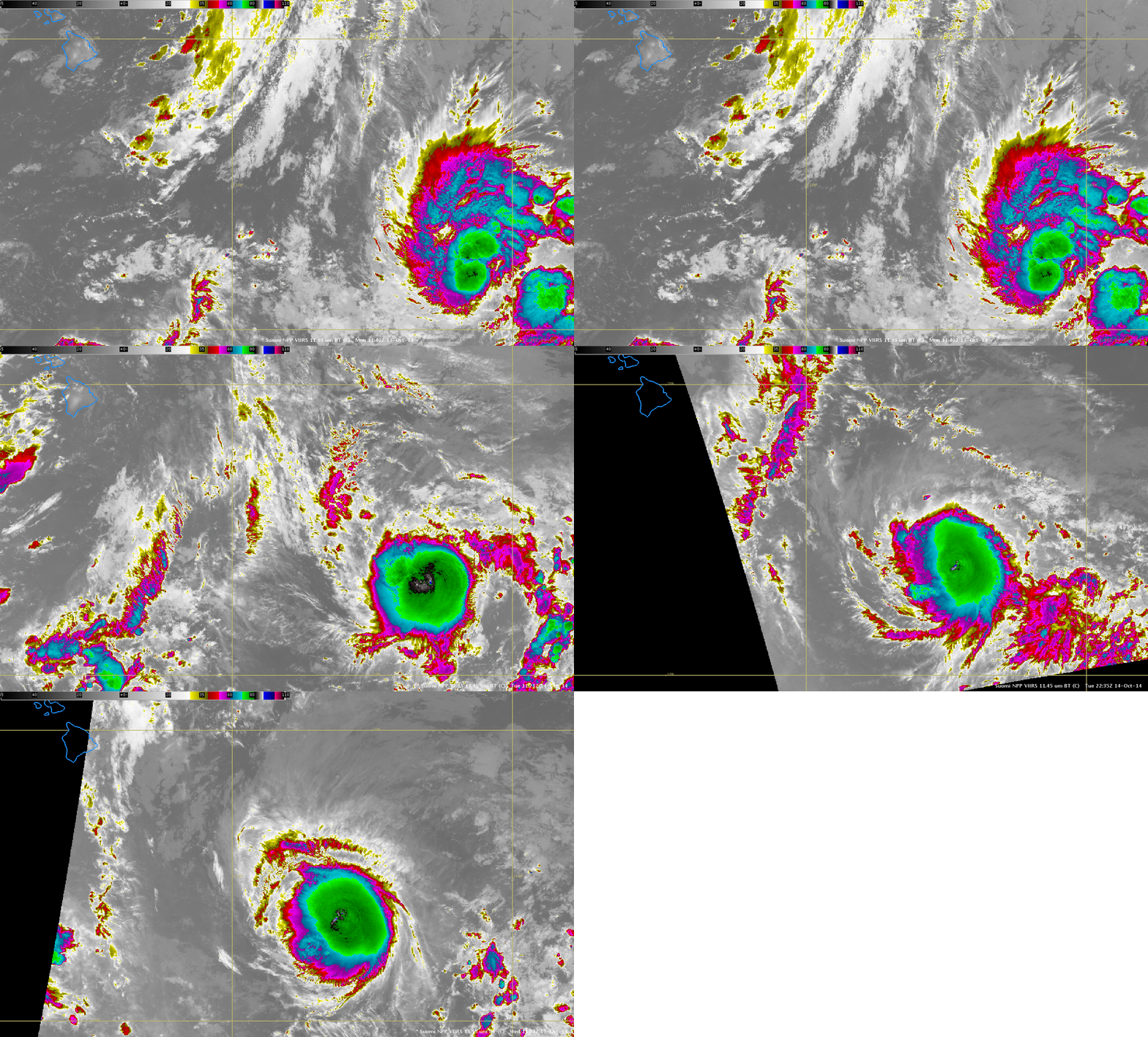
Tropical Storm Ana approaches the Big Island of Hawai’i
Suomi NPP VIIRS 11.45 µm Infrared imagery, above, shows the slow strengthening of Ana as it approaches the Big Island of Hawai’i from the east-southeast. For further information on this storm, consult the Central Pacific Hurricane Center website. Ana possesses a noticeable central dense overcast, with overshooting tops that are very cold; brightness temperatures are as cold as -95º C! A similar loop as above, but of the Day Night band is here.
GOES-15 Infrared Imagery (10.7 µm), below, shows the storm making steady progress across the central Pacific. Very cold overshooting tops are also observed with GOES; values as cold at -91.5º C occur (in the animation at 0830 UTC). The very cold cloud tops indicate two different things: The tropopause is high and cold in the Tropical Pacific; there is a lot of latent heat being released in the developing storm.
The rocking animation below shows that Ana appears to have emerged from the interaction between westward propagating and eastward propagating waves in the Intertropical Convergence Zone. (A similar animation using water vapor is here).
The approach of Ana suggests that Rapid Scan Operations might be needed for Hawaii later this week. The most recent RSO Testing, on 15 October, showed that GOES-15 RSO data can be viewed in AWIPS. (Link, scroll to the bottom).
Added, 16 October 2014.
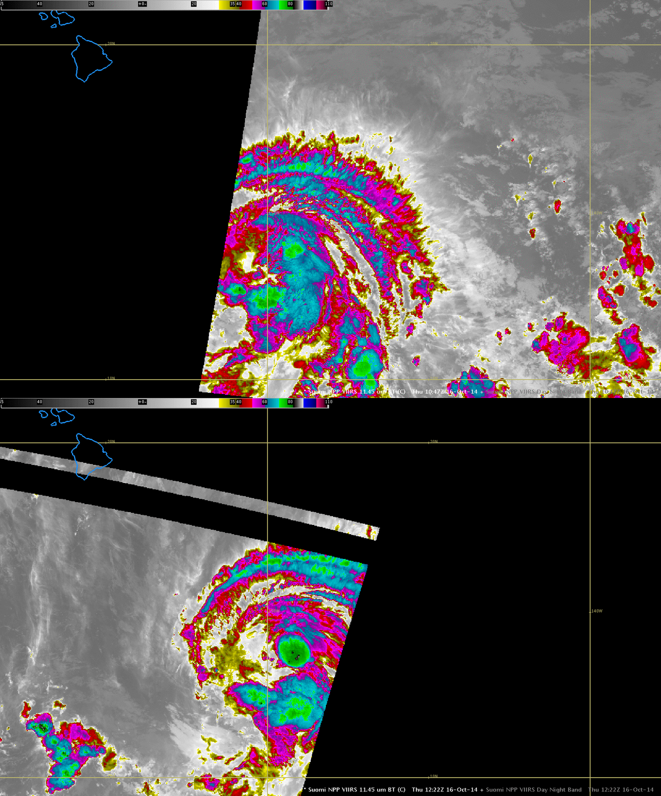
Strong convection near the center of Ana has become less organized early on 16 October, and the maximum estimated sustained winds of the storm have dropped. The animation of sequential Suomi NPP 11.45 µm IR imagery, below, does show deep convection reappearing at 1222 UTC.


