SRSOR GOES-14 Imagery over Alabama
")
GOES-14 SRSOR 0.62 µm and 10.7 µm Imagery (click image to play animation)
GOES-14 has been brought out of storage for station-keeping maintenance (a north-south maneuver is scheduled for 21 August 2012) and while active, it is providing one-minute imagery over selected regions of the United States. Today’s region of focus is the southeast part of the United States, and the imagery above shows a decaying convective system over southern Alabama that has spawned a well-defined outflow boundary (wind gusts exceeding 30 knots were common with this feature).
Active convection is also indicated over the northern Gulf of Mexico, with numerous overshooting tops. As shown yesterday, the one-minute imagery highlights the quickly-changing nature of the cirrus cloud-top environment. It is not unusual to see pixel brightness temperatures change more than 3 K in one minute.
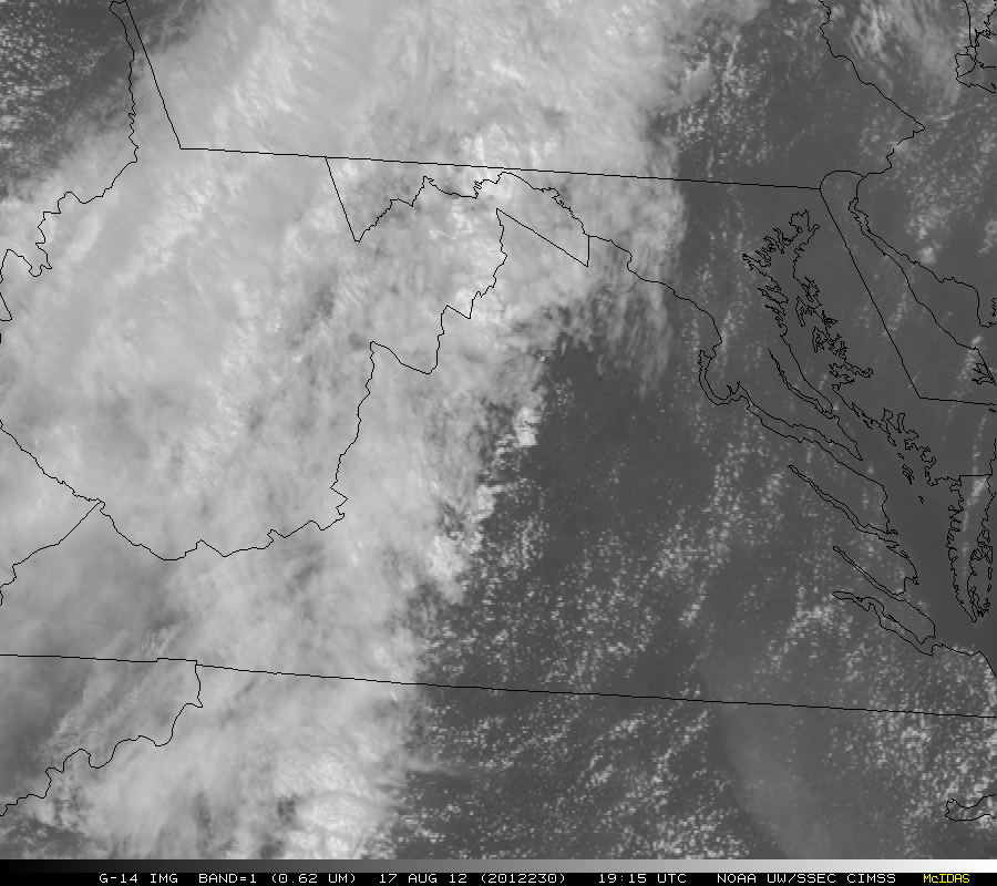
(Added: There was also SRSOR imagery over Washington D.C. today!)