CIMSS Weather
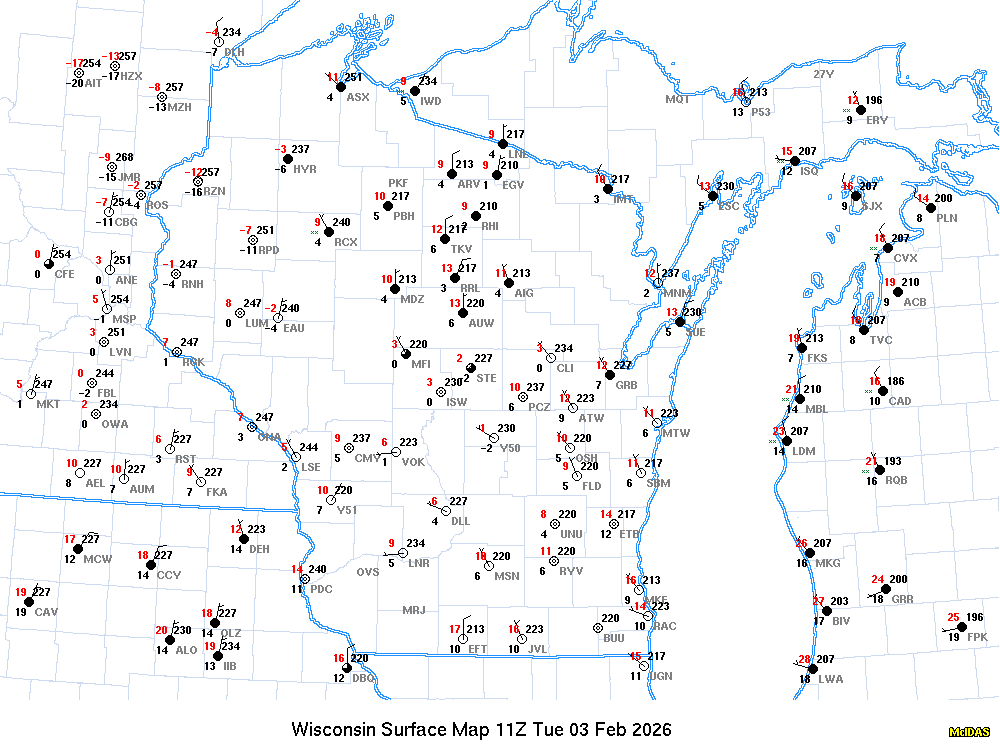
Latest Regional Observations
| Day | Time | StCo | Stn |
T | Td | Dir | Spd | Gus | AltSet | Vis | Weather | Ceil | SLP | Pcp | Sno | P24 |
|---|---|---|---|---|---|---|---|---|---|---|---|---|---|---|---|---|
| hhmm | id | [F] | [F] | [kts] | [kts] | [mb] | [mi] | [mb] | [in] | [in] | ||||||
| 3 | 0053 | WIUS | KMSN | 55 | 26 | 230 | 3 | 1013.5 | 10.00 | 1013.9 | ||||||
| 3 | 0055 | WIUS | KC29 | 55 | 18 | 230 | 6 | 1013.9 | 10.00 | |||||||
| 3 | 0052 | WIUS | KMKE | 45 | 30 | 170 | 9 | 1014.2 | 10.00 | 1014.8 | ||||||
| 3 | 0053 | WIUS | KLSE | 58 | 30 | 230 | 5 | 1012.2 | 10.00 | 1012.3 | ||||||
| 3 | 0056 | WIUS | KLNR | 56 | 25 | 250 | 6 | 1013.5 | 10.00 | 1013.4 | ||||||
| 3 | 0053 | WIUS | KGRB | 48 | 31 | 170 | 13 | 1012.5 | 10.00 | 1013.0 | ||||||
| 3 | 0045 | WIUS | KJVL | 54 | 27 | 250 | 8 | 1014.5 | 10.00 | |||||||
| 3 | 0053 | IAUS | KDBQ | 51 | 30 | 240 | 8 | 1014.9 | 10.00 | 1015.6 | ||||||
| 3 | 0054 | ILUS | KRFD | 52 | 27 | 220 | 6 | 1015.9 | 10.00 | 5/250 | 1016.2 | |||||
| 3 | 0051 | ILUS | KORD | 54 | 25 | 230 | 5 | 1015.6 | 10.00 | 1015.8 |
| Local Observation |
Wisconsin Weather
|
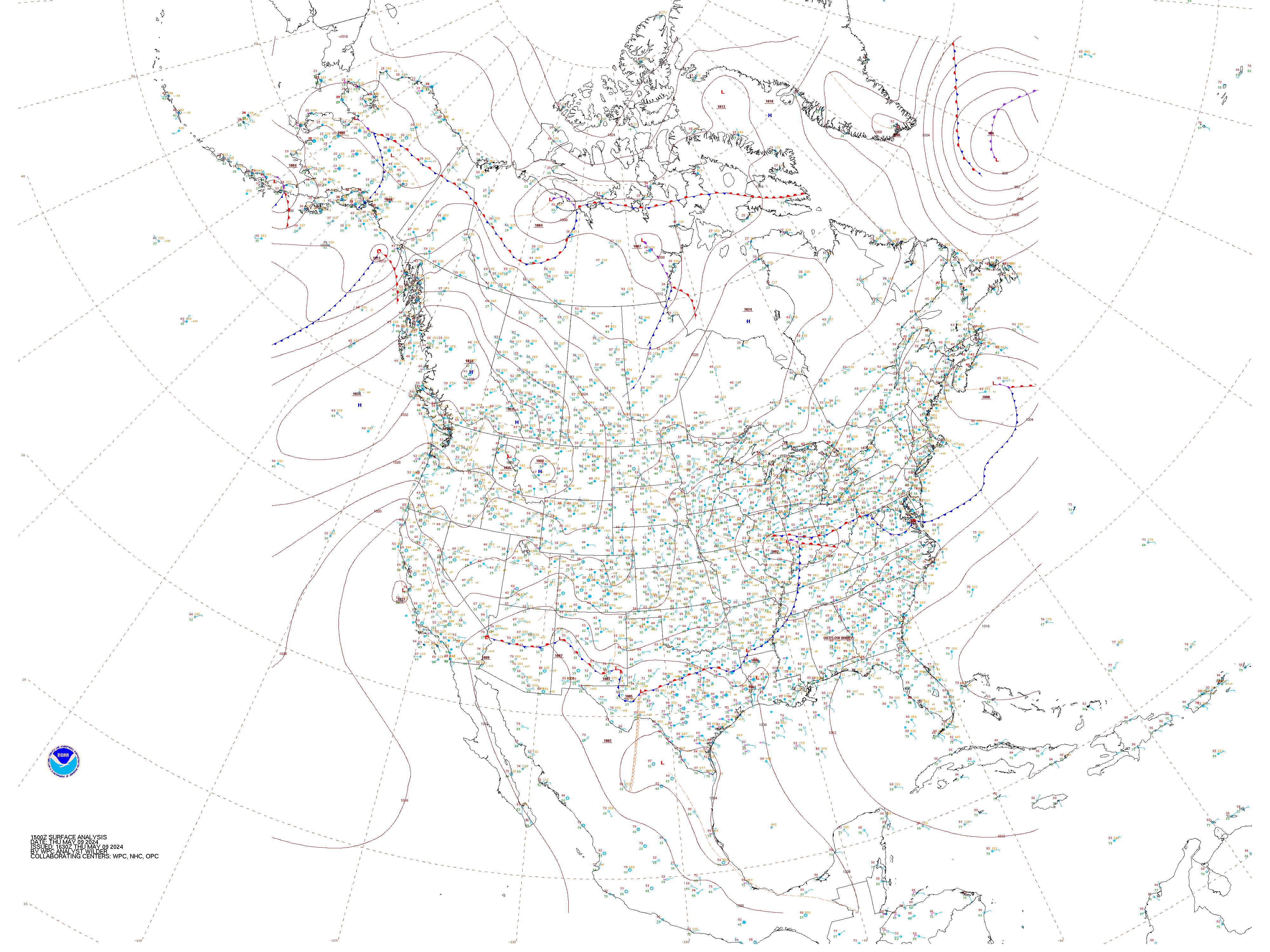
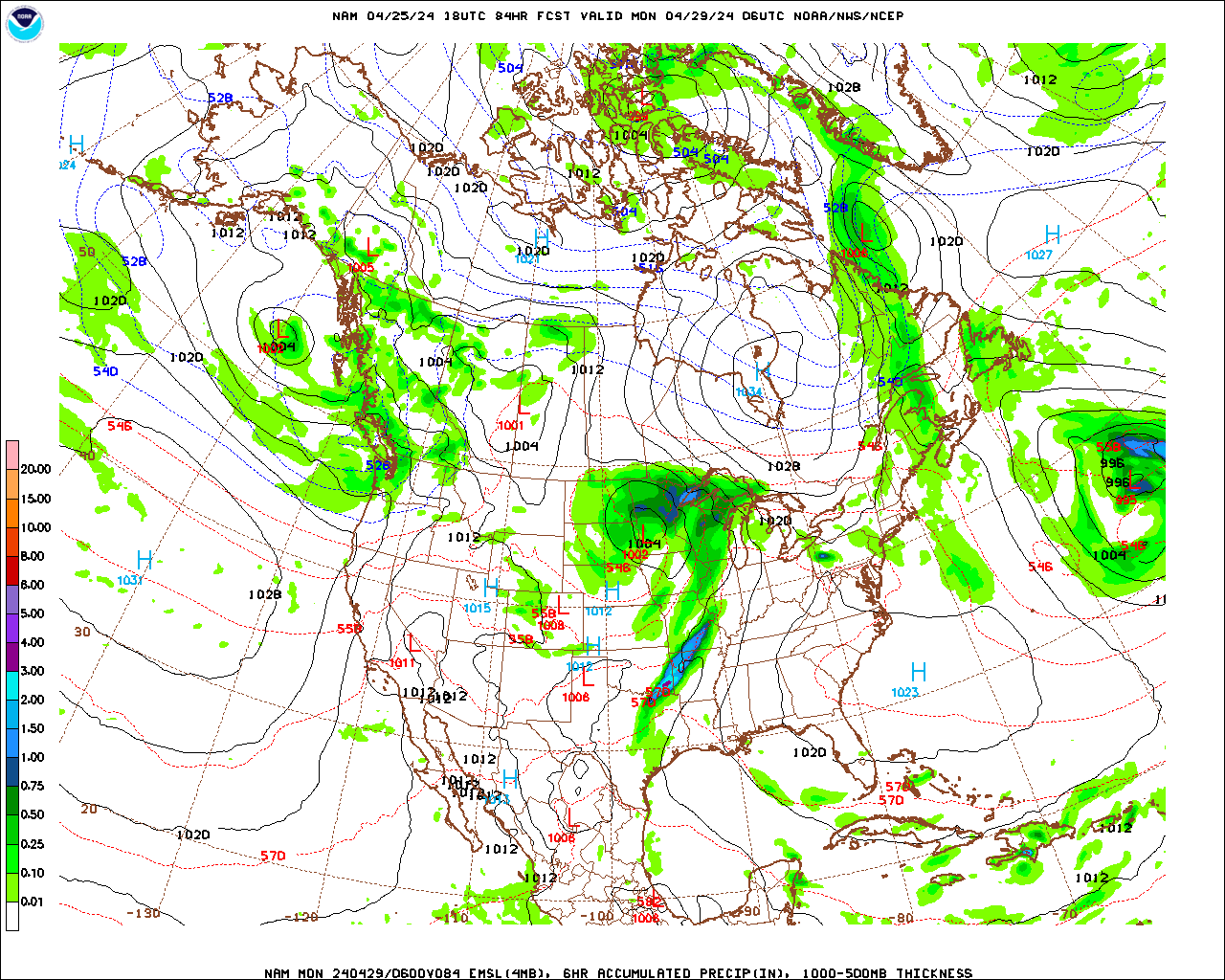
CONUS Weather
|
|||||||||||||||||||||||||||||||||||||||||||||||||||||||||||||||||||||||||||||||
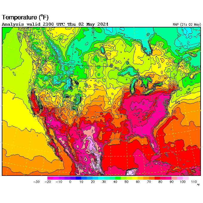
Regional Weather
|
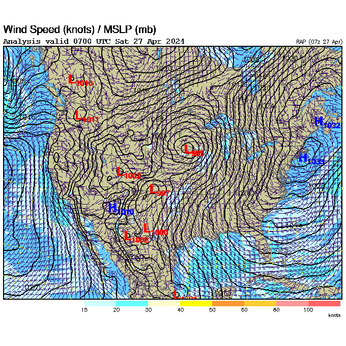
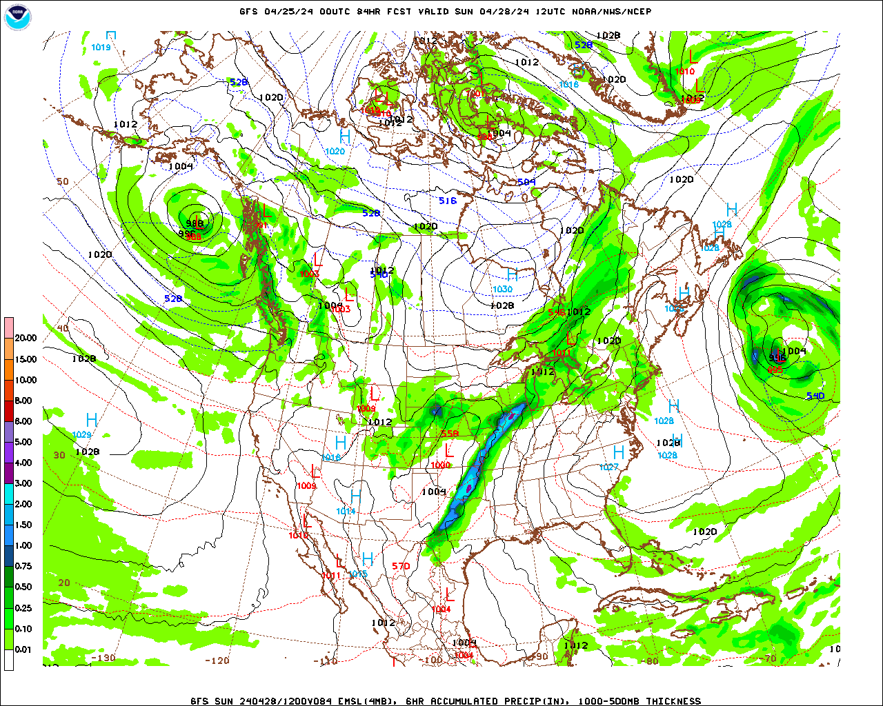
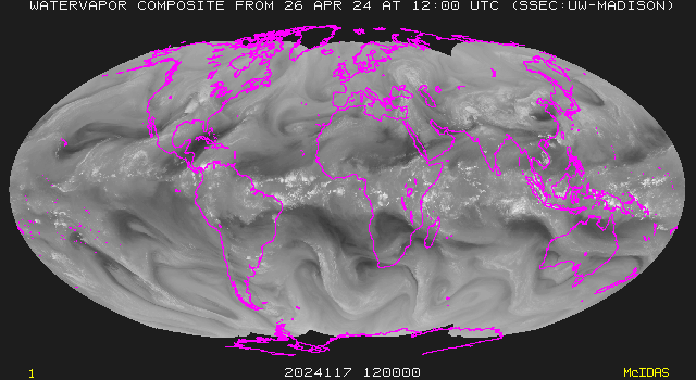
Global Weather
|
|||||||||||||||||||||||||||||||||||||||||||||||||||||||||||||||||||||||||||||||
See also: