Remote Sensing
» Imagery and Applications
Satellite imagery provides scientists and educators with exciting tools for investigation, inquiry, analysis and stewardship. This lesson is a practical guide toward incorporating satellite imagery in science classrooms.
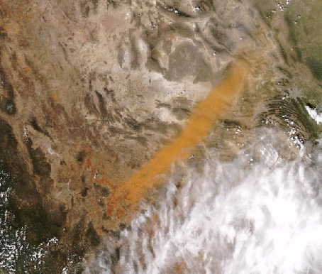
This is a visible image from a polar orbiting satellite showing a dust plume in Northern Mexico
In this lesson you will learn:
- Nomenclature related to satellite images
- Some places to get images on the Internet
Time requirement
This lesson will take about 45 minutes to complete