Ice dam in Lake Erie
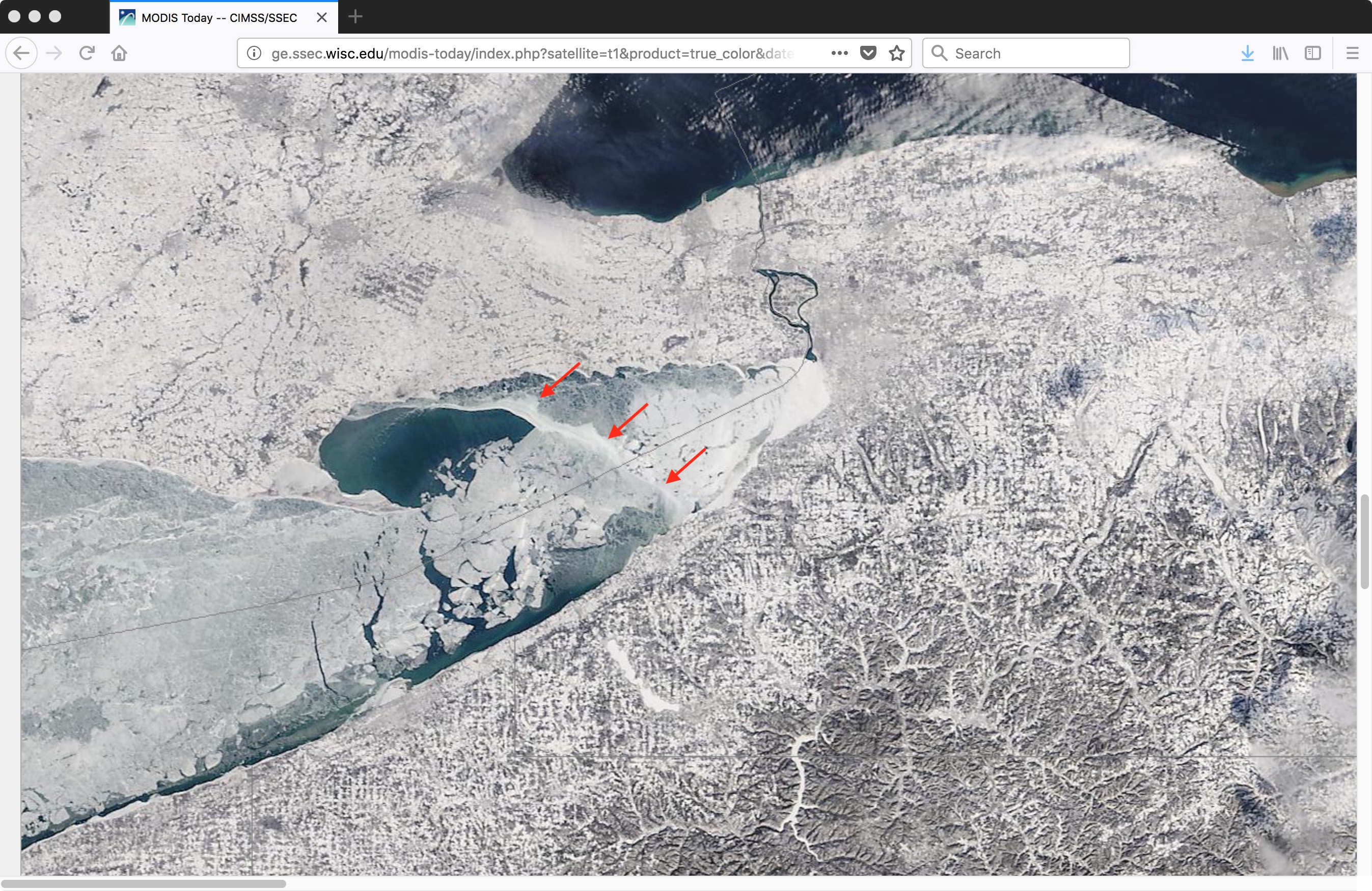
Thanks to Dave Zaff (NWS Buffalo) for the email alerting us to an ice dam that had formed across the eastern portion of Lake Erie on 19 January 2018 — GOES-16 (GOES-East) “Red” Visible (0.64 µm) images (above) showed that the northeastward drift of ice floes was effectively being blocked by this ice dam... Read More
