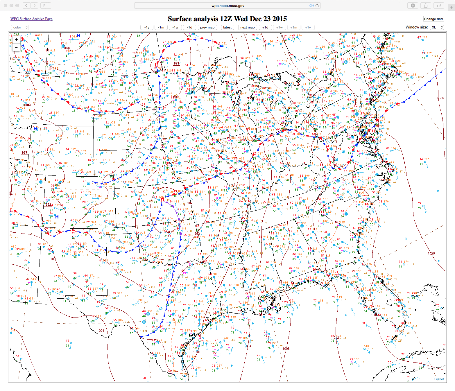
Widespread severe weather outbreak
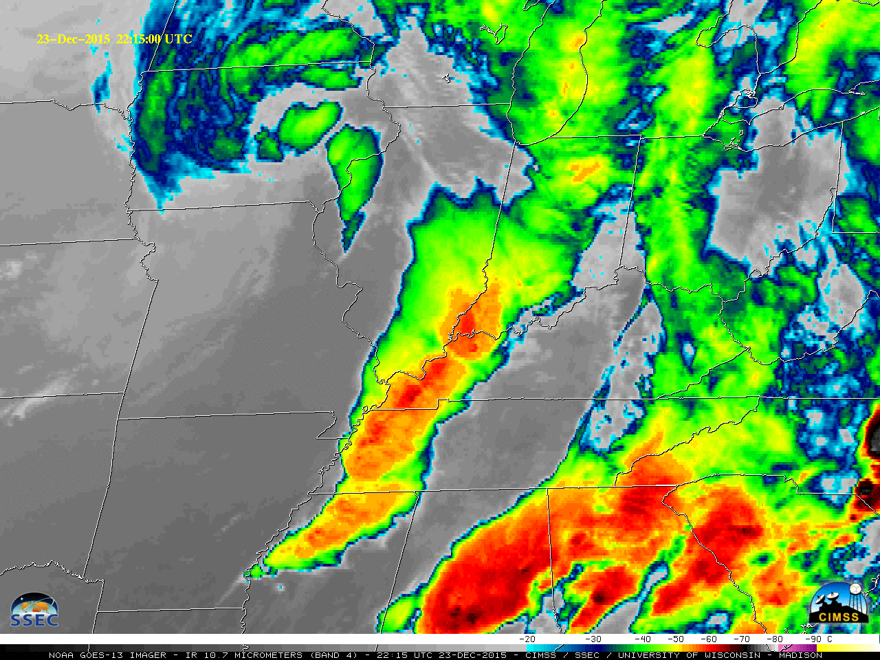
As shown above, a widespread outbreak of severe weather occurred on 23 December – 24 December 2015 (surface analysis maps), centered on the Mississippi Valley and Ohio Valley regions of the US. There were at least 14 fatalities in Mississippi, Tennessee, and Arkansas — and storm damage surveys (NWS Memphis PNS) showed that there... Read More
