GOES-15 Science Testing
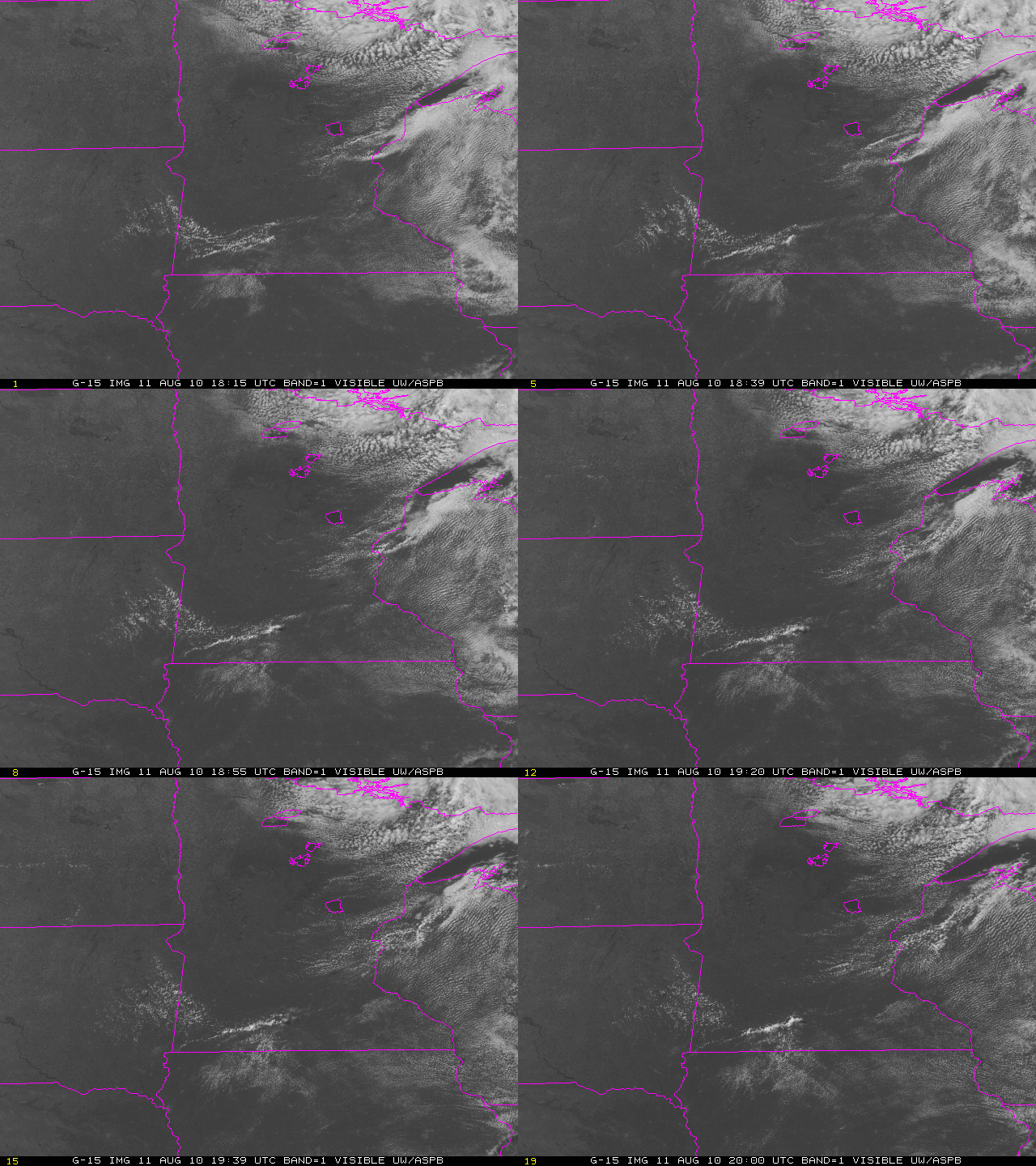
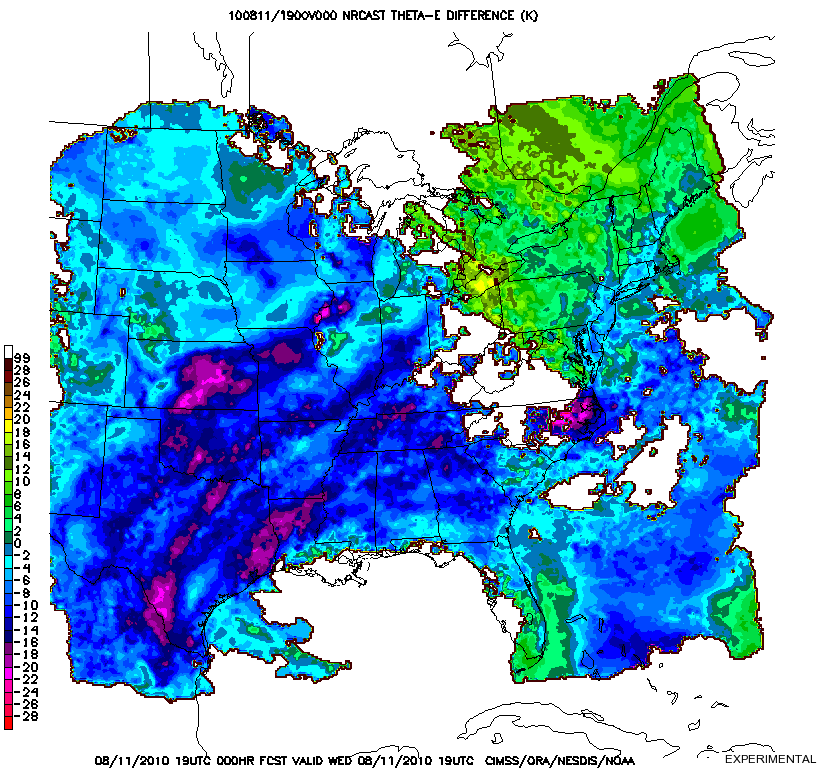
A weak, isolated tornado developed in southwestern Minnesota during the afternoon of 11 August 2010. GOES-15 imagery, above, shows the development of modest cumulus convection that spawned the tornado. The 5-minute time-step in the imagery is similar to that that will be available routinely from the ABI on GOES-R; the loop was taken as part of the GOES-15 science test as described here. (GOES-15 data are available at the SSEC Geostationary Satellite Image Browser) Although the tornadic event was a meteorological surprise (the convective outlook from the Storm Prediction Center, for example, did not foresee convection in the area), several satellite-based products diagnosed the instability that was present in the atmosphere. For example, the CIMSS NearCasting Tool (which tool uses the 3 water vapor channels on the GOES-13 Sounder to predict the 0-6 hours evolution of the theta-e destribution in the troposphere) showed a region of enhanced convective instability over southern Minnesota (see image below). In addition, GOES-13 Sounder estimates of Lifted Index (see the bottom two panels of the linked-to image) show southern Minnesota at the northern edge of unstable air.


