2 West Pacific storms, as seen using 3 Himawari-8 water vapor bands
![Himawari-8 Water Vapor images: 6.2 µm (top), 6.9 µm (middle), and 7.3 µm (bottom) - [click to play MP4 animation]](https://cimss.ssec.wisc.edu/satellite-blog/wp-content/uploads/sites/5/2016/03/320x1280_AHIM08_B8910_HIM08_WV_3PANEL_PACIFIC_CYCLONE_1719FEB_2016078_120000_0003PANELS.GIF)
Himawari-8 Water Vapor images: 6.2 µm (top), 6.9 µm (middle), and 7.3 µm (bottom) – [click to play MP4 animation]
![West Pacific surface analyses [click to play animation]](https://cimss.ssec.wisc.edu/satellite-blog/wp-content/uploads/sites/5/2016/03/160317-19_West_Pacific_surface_analyses_anim.gif)
West Pacific surface analyses [click to play animation]
—————————————————————————————————
![Himawari-8 Water Wapor images: 7.3 µm (left), 6.9 µm (center), and 6.2 µm (right) - [click to play MP4 animation]](https://cimss.ssec.wisc.edu/satellite-blog/wp-content/uploads/sites/5/2016/03/960x427_AHIM08_B1098_HIM08_WV_3PANEL_PACIFIC_CYCLONE_1416FEB_2016075_120000_0003PANELS.GIF)
Himawari-8 Water Wapor images: 7.3 µm (left), 6.9 µm (center), and 6.2 µm (right) – [click to play MP4 animation]
![West Pacific surface analyses [click to play animation]West Pacific surface analyses [click to play animation]](https://cimss.ssec.wisc.edu/satellite-blog/wp-content/uploads/sites/5/2016/03/160314-16_West_Pacific_surface_analyses_anim.gif)
West Pacific surface analyses [click to play animation]
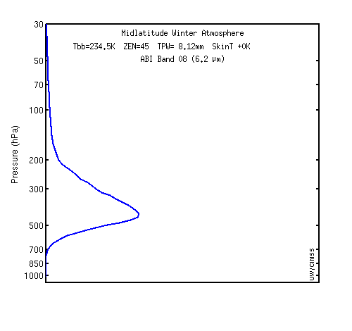
GOES-R ABI water vapor band weighting function plots