GOES-15 Rapid Scan Operations (RSO) sector for American Samoa
![GOES-15 Visible (0.63 µm) images [click to play animation]](https://cimss.ssec.wisc.edu/satellite-blog/wp-content/uploads/sites/5/2015/12/151215_goes15_visible_American_Samoa_RSO_Test_anim.gif)
GOES-15 Visible (0.63 µm) images [click to play animation]
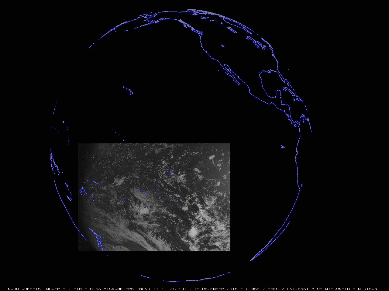
The full size of the American Samoa RSO sector is shown below.
![GOES-15 Visible (0.63 µm) image showing the size of the American Samoa RSO sector [click to enlarge]](https://cimss.ssec.wisc.edu/satellite-blog/wp-content/uploads/sites/5/2015/12/151215_G15_VIS_AMERICAN_SAMOA_RSO_TEST_FULL_SECTOR.GIF)
GOES-15 Visible (0.63 µm) image showing the size of the American Samoa RSO sector [click to enlarge]
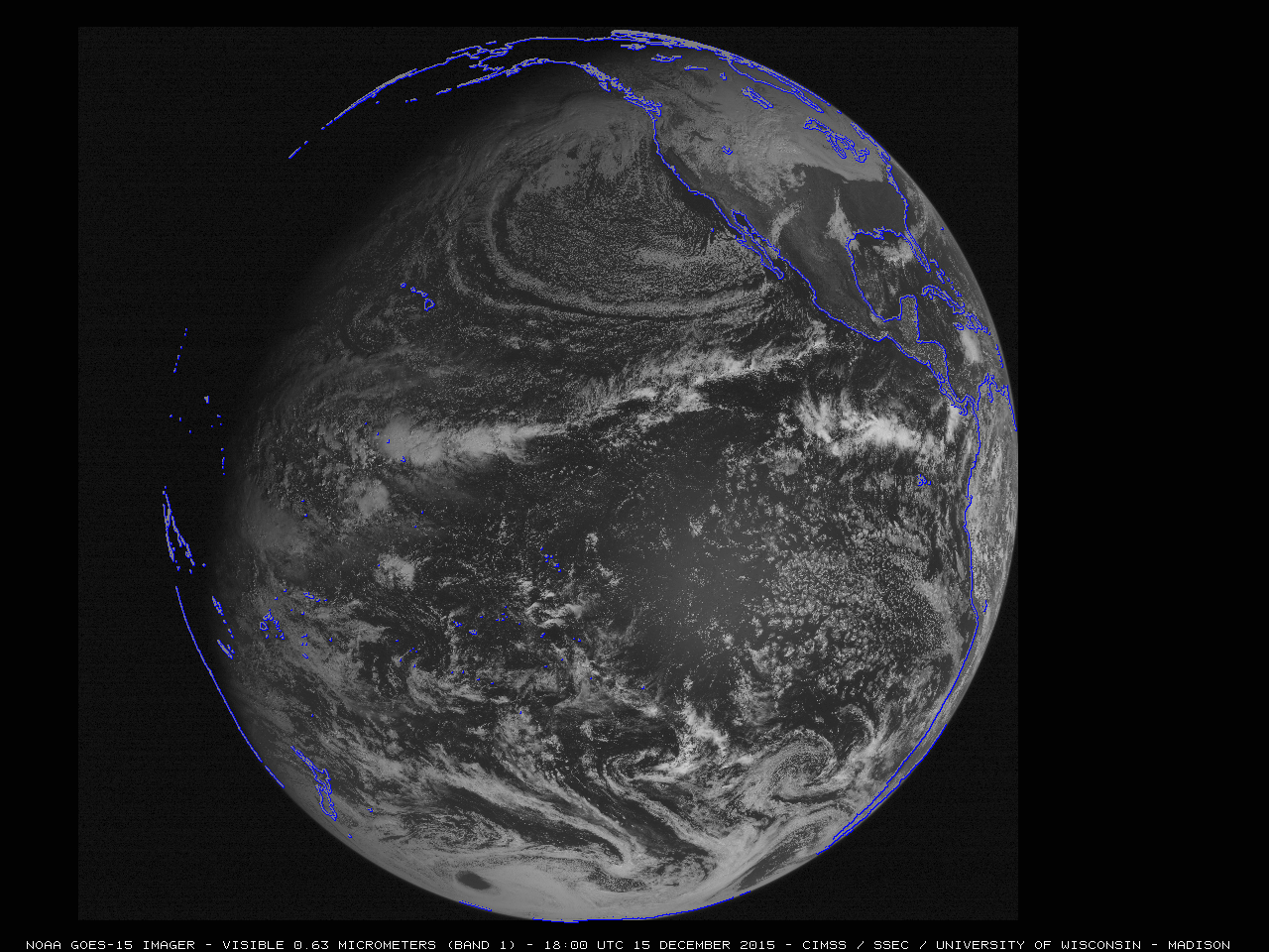
![GOES-15 Visible (0.63 µm) image showing the location of the American Samoa RSO sector in relation to the GOES-15 Full Disk scan coverage [click to enlarge]](https://cimss.ssec.wisc.edu/satellite-blog/wp-content/uploads/sites/5/2015/12/151215_G15_VIS_AMERICAN_SAMOA_RSO_TEST_FULL_SECTOR_FULL_DISK.GIF)
GOES-15 Visible (0.63 µm) image showing the location of the American Samoa RSO sector in relation to the GOES-15 Full Disk scan coverage [click to enlarge]
![GOES-15 Infrared (10.7 µm) image, displayed using AWIPS II [click to enlarge]](https://cimss.ssec.wisc.edu/satellite-blog/wp-content/uploads/sites/5/2015/12/151215_1956utc_goes15_11micronIR_awips2.png)
GOES-15 Infrared (10.7 µm) image, displayed using AWIPS II [click to enlarge]
![Himawari-8 Visible (0.64 µm) images [click to play animation]](https://cimss.ssec.wisc.edu/satellite-blog/wp-content/uploads/sites/5/2015/12/151215_himawari8_visible_American_Samoa_anim.gif)
Himawari-8 Visible (0.64 µm) images [click to play animation]