Weather Satellites and Weather Forecasting
Types of Satellite images
There are two main types of satellite images - visible and infrared (IR) imagery.

Visible imagery 
Visible image - Click to enlargeVisible imagery is just like the name suggests; an image of the earth in visible light. This is what you would see with your eyes if you could ride on a satellite. As you might imagine, thicker clouds do a better job of reflecting light and appear brighter in visible images.

Infrared imagery 
Infrared image - Click to enlargeThe obvious problem with visible images is that they are only available during the day when the sun is up. To combat this problem, the infrared (IR) sensor was developed. It senses radiant (heat) energy given off by the clouds. Warmer clouds which are lower in the atmospheres give off more IR energy than colder, higher clouds.

 
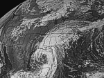
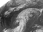
Satellite images with extra information
Hurricane Winds - Click to enlarge It is common to add more information to a satellite images. The information can be pressure lines (isobars), surface weather observations, or information 
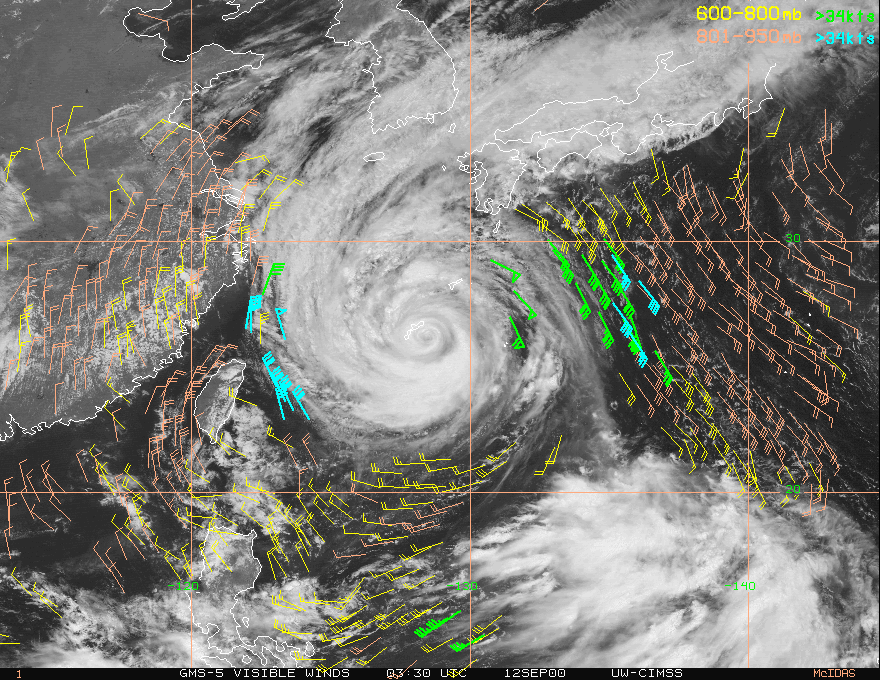
about the upper atmosphere, such as wind fields. Satellites track the clouds and computers create wind field maps. Since the world is mostly covered in water, these wind field overlays are very useful products for weather forecasting. You can click on this image to see a wind field around a hurricane.

Continue...