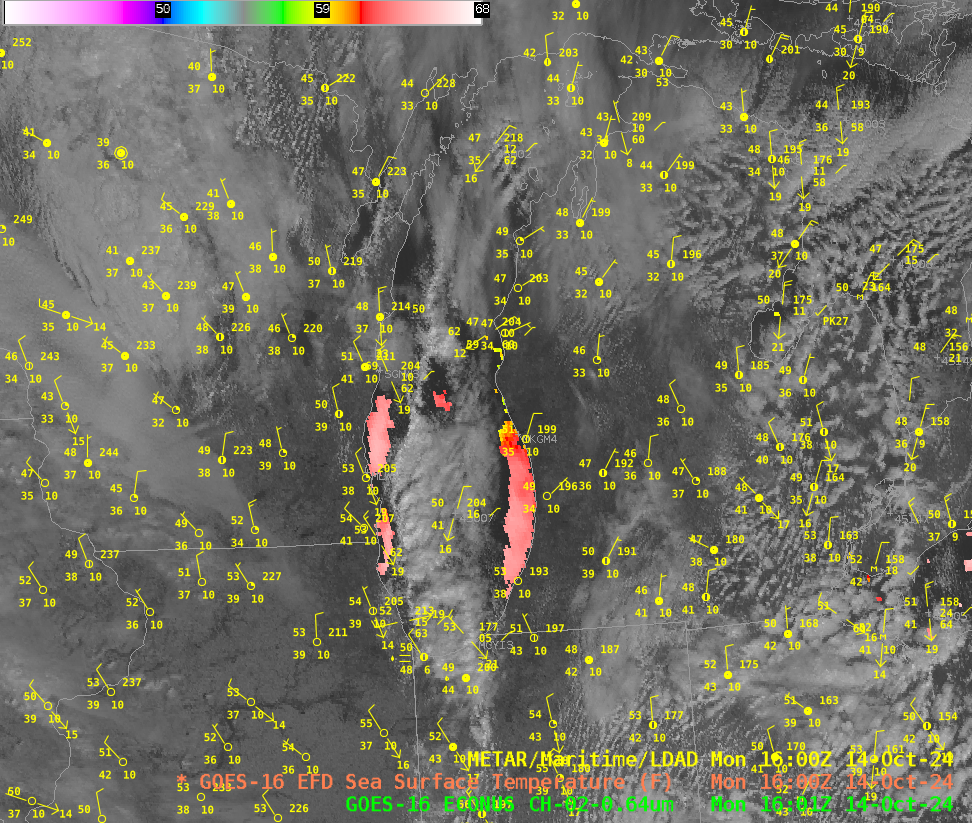
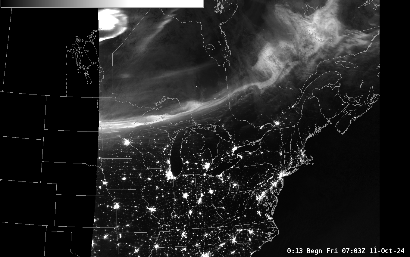
VIIRS, ABI, and NUCAPS over Alaska

VIIRS infrared imagery (I05 imagery at 11.45 µm) from the NOAA-21 (mislabeled, alas, at Suomi NPP) show high-resolution infrared imagery at about 90-minute time-steps. Cold Cloud tops associated with a low pressure system bringing light snow to northern Alaska are apparent — but during the gap from 00-08 UTC on... Read More

