Using NUCAPS soundings in and around fire locations
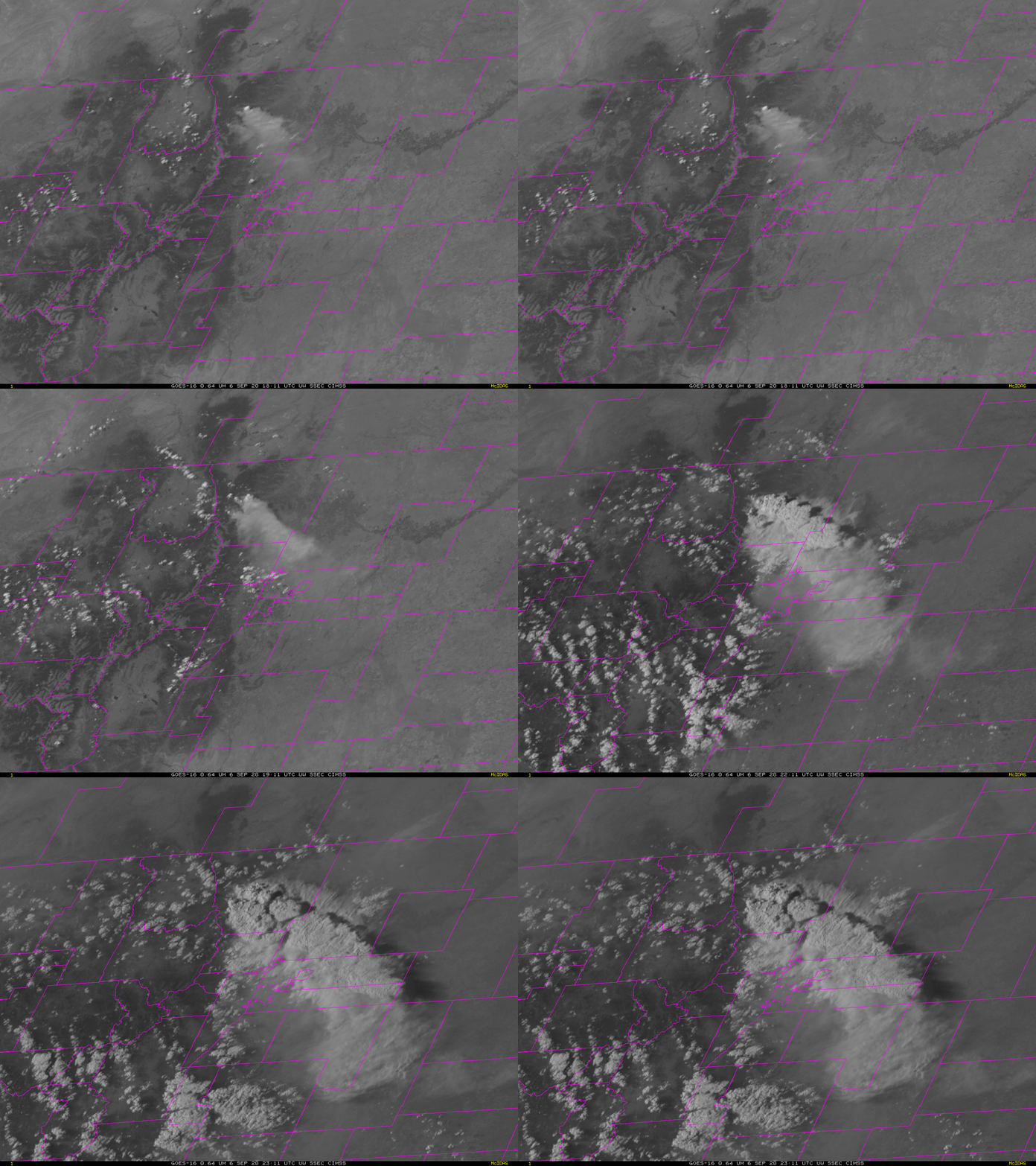
GOES-16 Visible imagery, above, during the late afternoon on 6 September, shows an invigoration of the Cameron Peak fire in Larimer County, Colorado, with visible evidence of a pyrocumulus development. Are there tools a forecaster can use to anticipate such extraordinary afternoon fire growth?
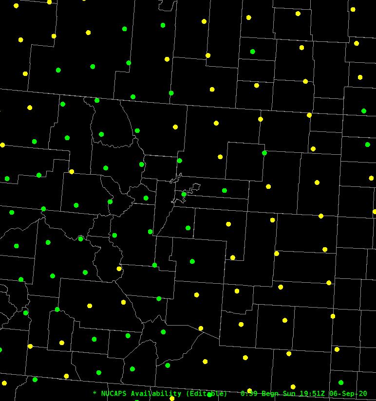
NOAA-20 overflew Colorado shortly after (NOAA-20 orbits can be viewed at this website) 2000 UTC on 6 September (see NUCAPS Sounding availability points below; note that the date of these plots — 1951 UTC — corresponds to the time of the first NUCAPS swath is available in AWIPS from this NOAA-20 pass; for this ascending pass, that swath is near 40 S latitude!)
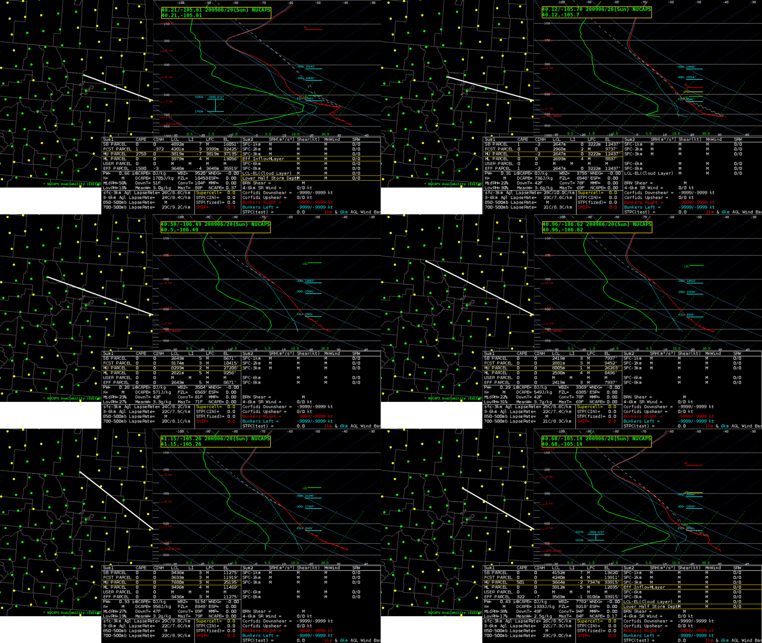
What do the NUCAPS Sounding surrounding Larimer County Colorado look like? The animation below steps through the profiles surrounding the fire. Consider using the LCL and EL information (and other information) in these profiles when diagnosing the likelihood of convection developing in response to an intense fire. On this day, NUCAPS showed steep mid-tropospheric lapse rates that help support pyrocumulonimbus.


