Gravity Waves forced by an isolated thunderstorm in the Gulf of Mexico

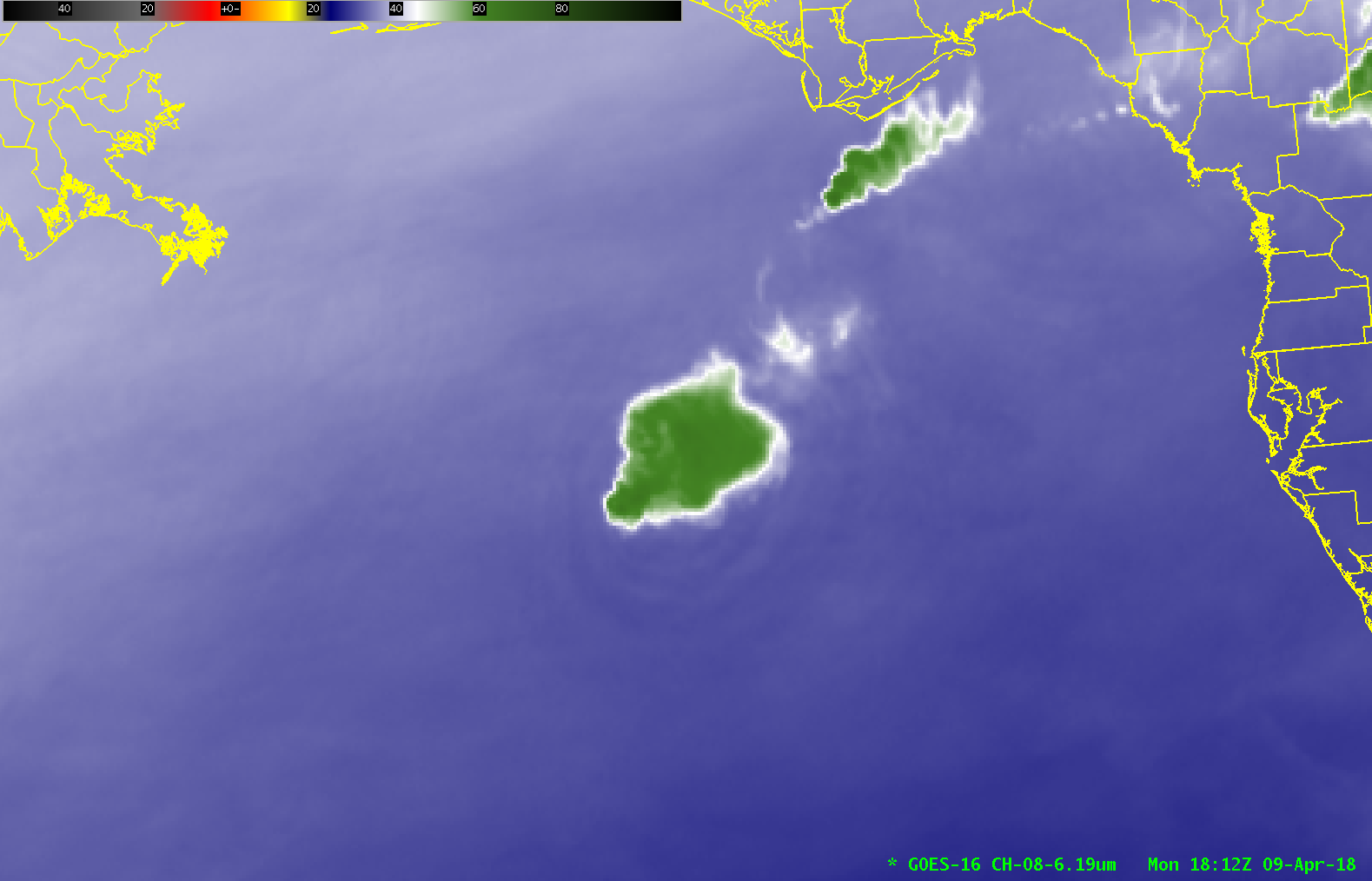
GOES-16 ABI Upper-Level Water Vapor (6.2 µm) Infrared Imagery, 1352-1857 UTC on 9 April 2018 (Click to animate)
Upper-level Water Vapor (6.2 µm) infrared imagery on 9 April 2018 (above) revealed gravity waves propagating away from an isolated thunderstorm in the Gulf of Mexico.
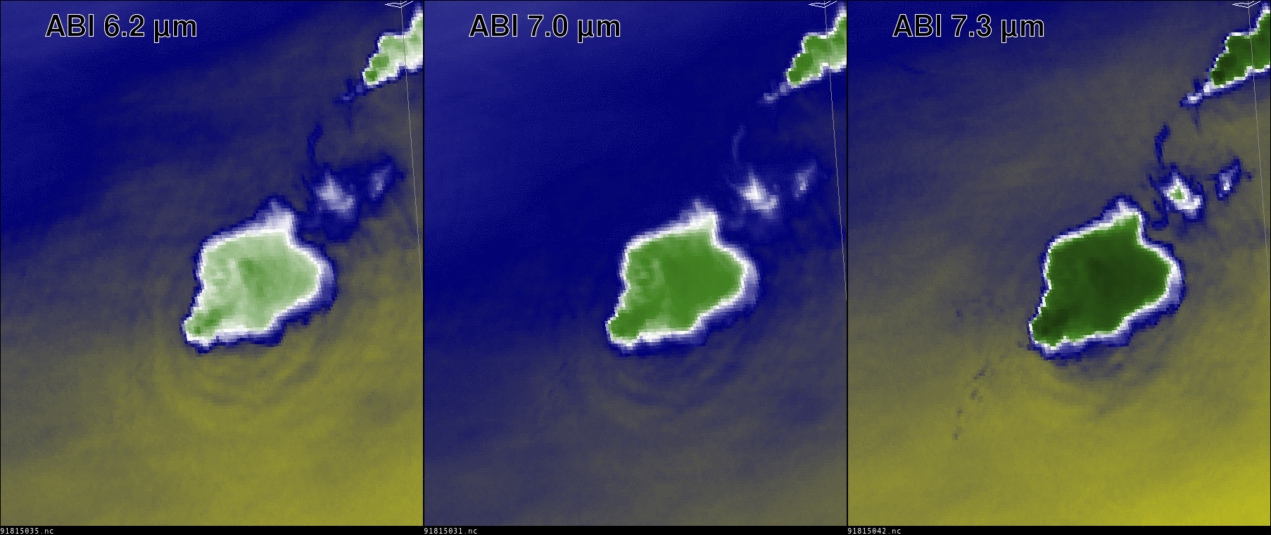
The convective complex generated gravity waves that were visible in all 3 GOES-16 ABI Water Vapor Channels (6.19 µm, 6.95 µm and 7.34 µm). The image below (produced using SIFT, the Satellite Information Familiarization Tool and data from NOAA CLASS) shows all three channels at 1812 UTC; the color enhancement used is the same in each image, but the ranges were modified to make the gravity waves most visible. Ranges used were -109 to 34 º C (Band 8); -109 to 55 º C (Band 9) and -80 to 42 º C (Band 10).
Weighting functions for the three water vapor infrared channels for three stations surrounding the Gulf of Mexico (Slidell, LA; Tallahassee FL; Tampa FL) suggest the gravity waves were in the 300-450 mb layer (6.2 µm) to the 450-600 mb layer (7.3 µm).


