Flooding in the Midwest and lower Ohio River Valley
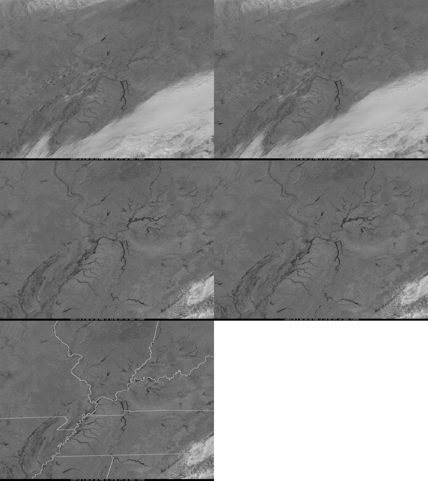
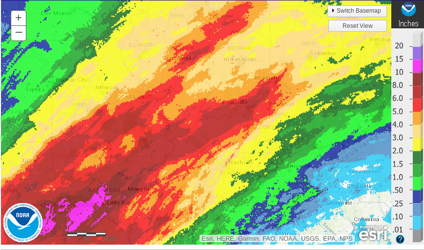
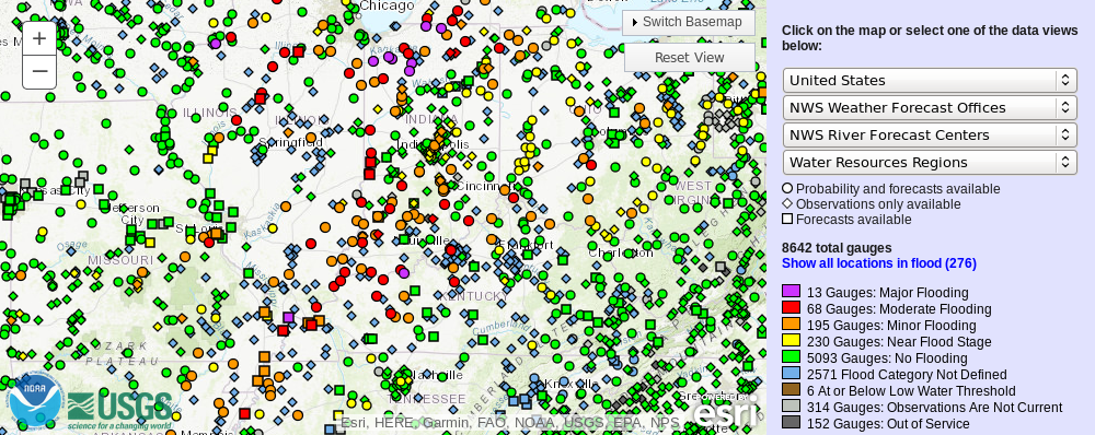
Solar radiation at 0.86 µm is strongly absorbed by water on the surface, but reflected by land. There is therefore a big contrast in GOES-16 “Veggie” Band imagery between rivers and adjacent land, and that contrast difference can easily identify regions of inundation. The toggle above compares imagery from 26 February 2018 and from 12 February 2018 over the lower Ohio River Valley. Significant widening of many waterways is apparent in the 0.86 µm imagery on 26 February, especially over southern Indiana, a result of both snow melt and abundant precipitation in the past 7 days, shown below (from this link). This has caused many stream gauges to show Moderate (Red gauges) to Major (Purple Gauges) flooding (image from this link), also shown below. A zoomed-in image over northern Indiana, at bottom, shows the major flooding along the Kankakee River.

GOES-16 0.86 µm “Veggie” Band Imagery at 1902 UTC on 26 February 2018 (Click to enlarge). Green Arrows highlight the Kankakee River, in flood.
=============== Added, 27 February 2018 ===================
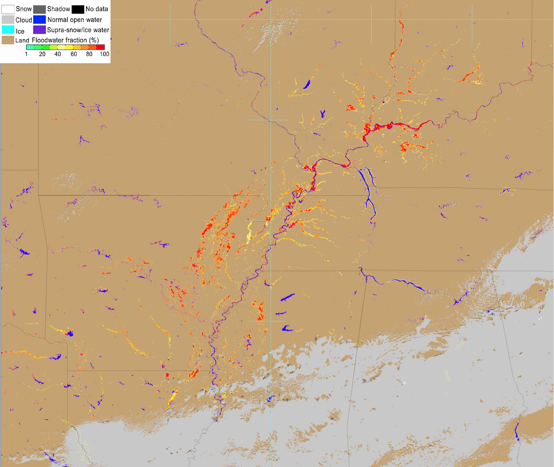
Some of these areas of river flooding could also be seen in a comparison of Suomi NPP VIIRS True-color and False-color Red-Green-Blue RGB images (below) — the False-color image uses the Near-Infrared 2.2 µm and 0.86 µm bands for the Red and Green contributions, and highlights water as shades of blue.


![Suomi NPP VIIRS True-color and False-color images [click to enlarge]](https://cimss.ssec.wisc.edu/satellite-blog/wp-content/uploads/sites/5/2018/02/180226_1927utc_suomi_npp_viirs_truecolor_falsecolor_anim.gif)