Cloud-Top Cooling Rate
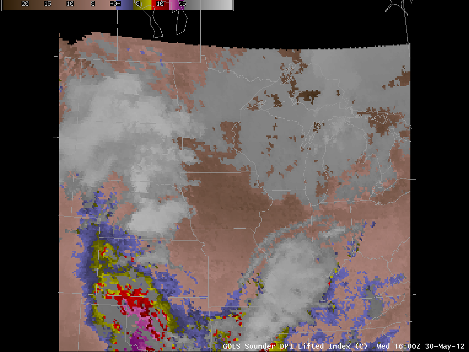
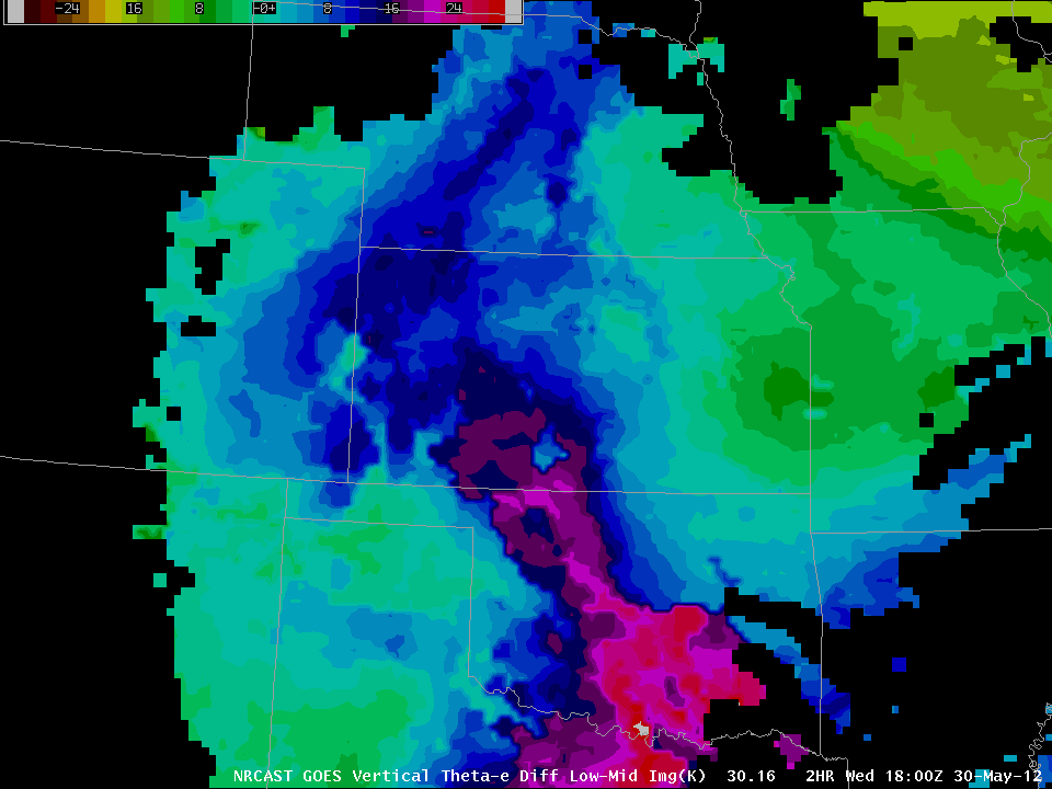
Satellite descriptors of the atmosphere over the central High Plains on May 30th suggested an atmosphere ripe for convection. For example, the GOES Sounder DPI Lifted Index showed an axis of instability from central Oklahoma to northwest Kansas, with widespread values (yellows, reds, purples) at or below -4. (The unstable area overlaps nicely with the slight risk for the day diagnosed for the day by the Storm Prediction Center). The NearCasting product (below, and available on-line here) suggests that convective instability will persist over southern Nebraska and extend southward into Oklahoma for most of the day.
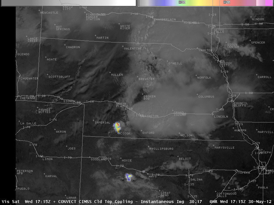
Given this type of environment, what can cloud-top cooling rate tell you? The Cloud-Top Cooling Rate is a satellite-based product that diagnoses how quickly the growing convective towers are cooling with time, and strong cooling means rapid vertical convective growth. The strongest cooling is where the strongest convective growth is occurring, and that cooling is well-correlated with the subsequent development of NEXRAD signatures (MESH, maximum VIL, reflectivity at -10 C, etc.) The loop above shows GOES-13 visible imagery with the cloud-top cooling rate superimposed. (Real-time imagery of the cloud-top cooling rate product is available here) The The cloud-top cooling rate product highlights a persistently and quickly growing convective feature near McCook, Nebraska before and shortly after 1700 UTC. By 1800 UTC, that feature is a severe thunderstorm warned for high winds and hail.
The UW Cloud-Top Cooling Rate product is being evaluated at the Hazardous Weather Testbed taking place this month. At the HWT Blog, there are many examples of using the product in concert with knowledge of the synoptic and mesoscale conditions to anticipate strong thunderstorm development.
SPC storm reports show that the system with the strong Cloud-Top Cooling Rate subsequently produced 1-inch hail near Holdrege.


